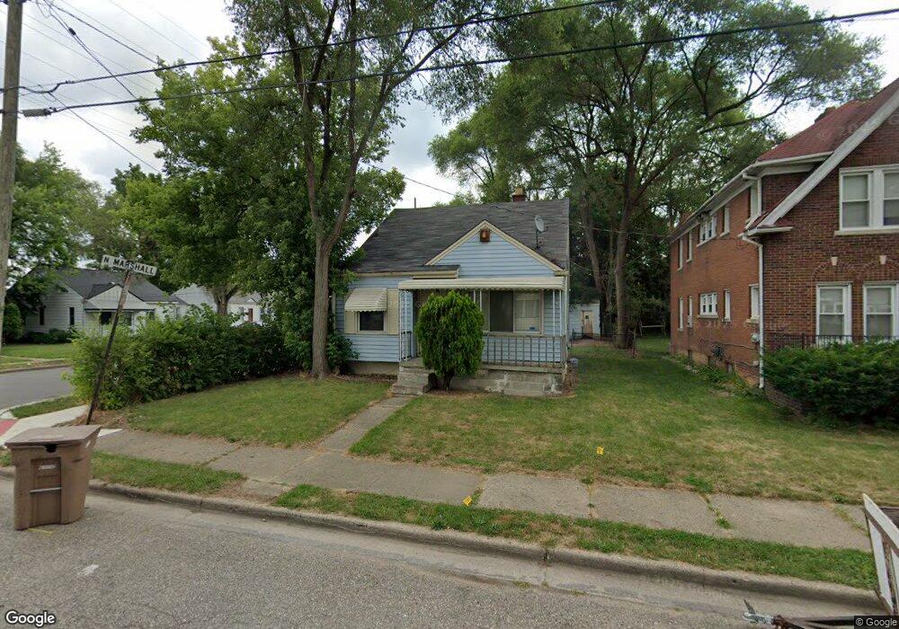
94 N Marshall St Pontiac, MI 48342
Estimated Value: $99,000 - $181,000
3
Beds
2
Baths
1,023
Sq Ft
$130/Sq Ft
Est. Value
About This Home
This home is located at 94 N Marshall St, Pontiac, MI 48342 and is currently estimated at $132,485, approximately $129 per square foot. 94 N Marshall St is a home located in Oakland County with nearby schools including Walt Whitman Elementary School, Pontiac Middle School, and Pontiac High School.
Ownership History
Date
Name
Owned For
Owner Type
Purchase Details
Closed on
Oct 31, 2012
Sold by
Oakland County Treasurer
Bought by
Roberson Billy
Current Estimated Value
Purchase Details
Closed on
Nov 2, 2006
Sold by
Deutsche Bank National Trust Co
Bought by
Stevens Lynetra
Purchase Details
Closed on
Jun 26, 2006
Sold by
Madden Madden J and Madden Shirley
Bought by
Bankers Trust Co Of California Na and Ameriquest Mortgage Securities Inc
Purchase Details
Closed on
Apr 4, 2006
Sold by
Madden Madden J and Madden Shirley
Bought by
Bankers Trust Co Of California Na and Ameriquest Mortgage Securities Inc Float
Create a Home Valuation Report for This Property
The Home Valuation Report is an in-depth analysis detailing your home's value as well as a comparison with similar homes in the area
Home Values in the Area
Average Home Value in this Area
Purchase History
| Date | Buyer | Sale Price | Title Company |
|---|---|---|---|
| Roberson Billy | $3,750 | None Available | |
| Stevens Lynetra | $58,000 | Attorneys Title Agency Inc | |
| Bankers Trust Co Of California Na | -- | None Available | |
| Bankers Trust Co Of California Na | $100,420 | None Available |
Source: Public Records
Tax History Compared to Growth
Tax History
| Year | Tax Paid | Tax Assessment Tax Assessment Total Assessment is a certain percentage of the fair market value that is determined by local assessors to be the total taxable value of land and additions on the property. | Land | Improvement |
|---|---|---|---|---|
| 2024 | $608 | $33,330 | $0 | $0 |
| 2023 | $580 | $29,440 | $0 | $0 |
| 2022 | $626 | $25,840 | $0 | $0 |
| 2021 | $608 | $24,550 | $0 | $0 |
| 2020 | $787 | $21,950 | $0 | $0 |
| 2019 | $839 | $19,390 | $0 | $0 |
| 2018 | $804 | $17,580 | $0 | $0 |
| 2017 | $1,673 | $16,970 | $0 | $0 |
| 2016 | $798 | $16,480 | $0 | $0 |
| 2015 | -- | $15,160 | $0 | $0 |
| 2014 | -- | $13,120 | $0 | $0 |
| 2011 | -- | $18,110 | $0 | $0 |
Source: Public Records
Map
Nearby Homes
- 291 Michigan Ave
- 46 N Anderson Ave
- 88 N Astor St
- 511 E Pike St
- 28 S Marshall St
- 717 E Pike St
- 53 N Midland Dr
- 33 S Tasmania St
- 505 Auburn Ave
- 70 N Roselawn St
- 0 Cesar Chavez Rd Unit 50166552
- 97 N Roselawn St
- 57 N Roselawn St
- 18 S Shirley St
- 55 N Roselawn St
- 53 N Roselawn St
- 59 Bellevue St
- 54 Bellevue St
- 176 S Francis Ave
- 472 University Dr
- 88 N Marshall St
- 84 N Marshall St
- 95 Ml King jr Blvd N
- 91 Ml King jr Blvd N
- 93 N Marshall St
- 91 N Marshall St
- 95 Martin Luther King jr Blvd N
- 95 N Marshall St
- 340 M
- 85 Ml King jr Blvd N
- 329 Michigan Ave
- 323 Michigan Ave
- 333 Michigan Ave
- 317 Michigan Ave
- 81 Ml King jr Blvd N
- 339 Michigan Ave
- 87 N Marshall St
- 87 N Marshall St
- 76 N Marshall St
- 313 Michigan Ave