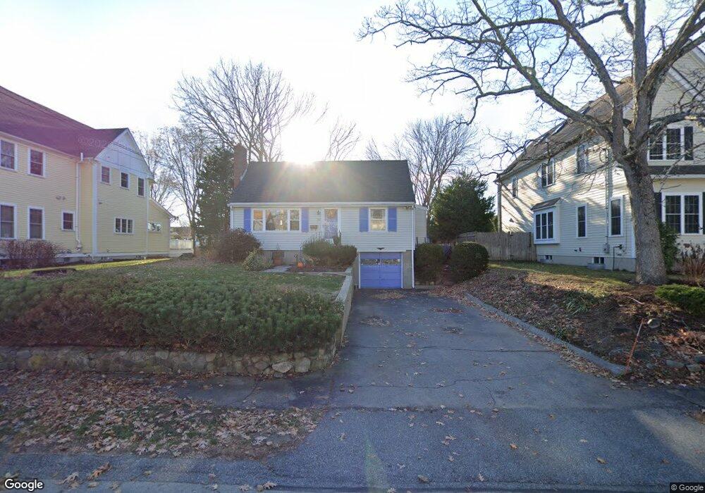
94 Pine Grove St Needham Heights, MA 02494
Estimated Value: $997,000 - $1,403,000
3
Beds
3
Baths
1,980
Sq Ft
$627/Sq Ft
Est. Value
About This Home
This home is located at 94 Pine Grove St, Needham Heights, MA 02494 and is currently estimated at $1,241,554, approximately $627 per square foot. 94 Pine Grove St is a home located in Norfolk County with nearby schools including Eliot Elementary School, High Rock Middle School, and Pollard Middle School.
Ownership History
Date
Name
Owned For
Owner Type
Purchase Details
Closed on
Oct 28, 2005
Sold by
Bouyoukas Jane M
Bought by
Fadil Brahim and Fadil Silvaneide A
Current Estimated Value
Home Financials for this Owner
Home Financials are based on the most recent Mortgage that was taken out on this home.
Original Mortgage
$437,600
Outstanding Balance
$236,092
Interest Rate
5.79%
Mortgage Type
Purchase Money Mortgage
Estimated Equity
$1,005,462
Create a Home Valuation Report for This Property
The Home Valuation Report is an in-depth analysis detailing your home's value as well as a comparison with similar homes in the area
Home Values in the Area
Average Home Value in this Area
Purchase History
| Date | Buyer | Sale Price | Title Company |
|---|---|---|---|
| Fadil Brahim | $547,000 | -- |
Source: Public Records
Mortgage History
| Date | Status | Borrower | Loan Amount |
|---|---|---|---|
| Open | Fadil Brahim | $437,600 |
Source: Public Records
Tax History
| Year | Tax Paid | Tax Assessment Tax Assessment Total Assessment is a certain percentage of the fair market value that is determined by local assessors to be the total taxable value of land and additions on the property. | Land | Improvement |
|---|---|---|---|---|
| 2025 | $10,926 | $1,030,800 | $736,300 | $294,500 |
| 2024 | $9,953 | $795,000 | $475,000 | $320,000 |
| 2023 | $10,003 | $767,100 | $475,000 | $292,100 |
| 2022 | $9,457 | $707,300 | $424,100 | $283,200 |
| 2021 | $9,216 | $707,300 | $424,100 | $283,200 |
| 2020 | $8,723 | $698,400 | $424,200 | $274,200 |
| 2019 | $8,137 | $656,700 | $385,600 | $271,100 |
| 2018 | $7,802 | $656,700 | $385,600 | $271,100 |
| 2017 | $7,388 | $621,400 | $385,600 | $235,800 |
| 2016 | $7,171 | $621,400 | $385,600 | $235,800 |
| 2015 | $7,016 | $621,400 | $385,600 | $235,800 |
| 2014 | $6,411 | $550,800 | $321,400 | $229,400 |
Source: Public Records
Map
Nearby Homes
- 12 Hill St
- 140 Hillside Ave
- 140 Hillside Ave Unit a
- 379 Hunnewell St Unit 379
- 132 Hillside Ave
- 134 Hillside Ave Unit 134
- 218 Hillside Ave
- 48 Taylor St
- 23 Harvard Cir
- 345 Central Ave
- 70 Briarwood Cir
- 62 Evelyn Rd
- 3 Crescent Rd
- 385 Hillside Ave
- 385 Hillside Ave Unit 385
- 28 Mercer Rd
- 10 Rosegate Rd
- 36 Eliot Rd
- 34 Pershing Rd
- 100 Woodbine Cir
- 100 Pine Grove St
- 88 Pine Grove St
- 270 Hunnewell St
- 274 Hunnewell St
- 264 Hunnewell St
- 276 Hunnewell St
- 95 Pine Grove St
- 82 Pine Grove St
- 260 Hunnewell St
- 85 Pine Grove St
- 262 Hunnewell St Unit 262
- 110 Pine Grove St
- 101 Pine Grove St
- 282 Hunnewell St
- 284 Hunnewell St
- 109 Pine Grove St
- 109 Pine Grove St Unit 109
- 72 Pine Grove St
- 75 Pine Grove St
- 252 Hunnewell St Unit 1
Your Personal Tour Guide
Ask me questions while you tour the home.