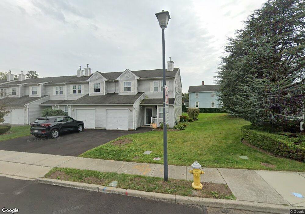
94 Smith Ave Bay Shore, NY 11706
Downtown Bay Shore NeighborhoodEstimated Value: $497,000 - $517,000
--
Bed
--
Bath
--
Sq Ft
3,485
Sq Ft Lot
About This Home
This home is located at 94 Smith Ave, Bay Shore, NY 11706 and is currently estimated at $506,065. 94 Smith Ave is a home located in Suffolk County with nearby schools including Fifth Avenue School, South Country Elementary School, and Bay Shore Middle School.
Ownership History
Date
Name
Owned For
Owner Type
Purchase Details
Closed on
Dec 7, 2001
Sold by
Bay Shore Prtnrshp Hsng Development Fund
Bought by
Derasmo Frank R and Derasmo Lorraine
Current Estimated Value
Home Financials for this Owner
Home Financials are based on the most recent Mortgage that was taken out on this home.
Original Mortgage
$36,551
Interest Rate
6.85%
Purchase Details
Closed on
Dec 4, 2001
Sold by
Bay Shore Partnership Housing Developmen
Bought by
Bay Shore Partnership Housing Developmen
Home Financials for this Owner
Home Financials are based on the most recent Mortgage that was taken out on this home.
Original Mortgage
$36,551
Interest Rate
6.85%
Create a Home Valuation Report for This Property
The Home Valuation Report is an in-depth analysis detailing your home's value as well as a comparison with similar homes in the area
Home Values in the Area
Average Home Value in this Area
Purchase History
| Date | Buyer | Sale Price | Title Company |
|---|---|---|---|
| Derasmo Frank R | $167,645 | -- | |
| Bay Shore Partnership Housing Developmen | -- | Fidelity National Title Ins |
Source: Public Records
Mortgage History
| Date | Status | Borrower | Loan Amount |
|---|---|---|---|
| Previous Owner | Derasmo Frank R | $36,551 |
Source: Public Records
Tax History Compared to Growth
Tax History
| Year | Tax Paid | Tax Assessment Tax Assessment Total Assessment is a certain percentage of the fair market value that is determined by local assessors to be the total taxable value of land and additions on the property. | Land | Improvement |
|---|---|---|---|---|
| 2024 | $8,501 | $31,500 | $11,000 | $20,500 |
| 2023 | $8,501 | $31,500 | $11,000 | $20,500 |
| 2022 | $7,503 | $31,500 | $11,000 | $20,500 |
| 2021 | $7,503 | $31,500 | $11,000 | $20,500 |
| 2020 | $7,943 | $31,500 | $11,000 | $20,500 |
| 2019 | $7,943 | $0 | $0 | $0 |
| 2018 | -- | $31,500 | $11,000 | $20,500 |
| 2017 | $7,436 | $31,500 | $11,000 | $20,500 |
| 2016 | $7,448 | $31,500 | $11,000 | $20,500 |
| 2015 | -- | $31,500 | $11,000 | $20,500 |
| 2014 | -- | $31,500 | $11,000 | $20,500 |
Source: Public Records
Map
Nearby Homes
- 16 West Dr
- 24 5th Ave
- 17 Lanier Ln
- 55 Johnson Ln
- 48 Center Ave
- 284 4th Ave
- 60 Center Ave
- 67 Hemlock Ln
- 62 Center Ave
- 66 Center Ave
- 31 Hiawatha Dr
- 59 Sunset Rd
- 25 Roosevelt St
- 5 Evans Place
- 0 N Saxon Ave Unit KEY877587
- 2 Harrison Place
- 19 Westside Ave
- 0 Howells Rd Unit KEY838232
- 2 Johnson Dr
- 80 Ocean Ave