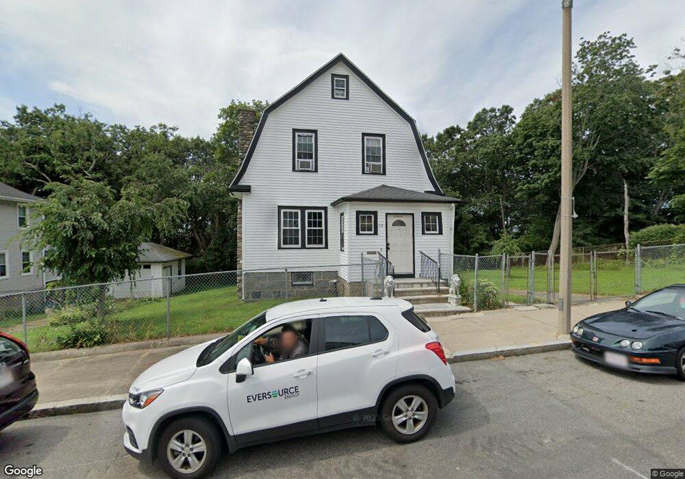
94 Standard St Unit 1 Mattapan, MA 02126
Southern Mattapan NeighborhoodEstimated Value: $701,000 - $743,592
4
Beds
2
Baths
1,676
Sq Ft
$433/Sq Ft
Est. Value
About This Home
This home is located at 94 Standard St Unit 1, Mattapan, MA 02126 and is currently estimated at $726,148, approximately $433 per square foot. 94 Standard St Unit 1 is a home located in Suffolk County with nearby schools including Conservatory Lab Upper School and Saint John Paul II Catholic Academy.
Ownership History
Date
Name
Owned For
Owner Type
Purchase Details
Closed on
Jun 15, 2021
Sold by
Brent Holdings Llc
Bought by
Khan Fahim A
Current Estimated Value
Home Financials for this Owner
Home Financials are based on the most recent Mortgage that was taken out on this home.
Original Mortgage
$522,750
Outstanding Balance
$471,218
Interest Rate
2.9%
Mortgage Type
Purchase Money Mortgage
Estimated Equity
$254,930
Purchase Details
Closed on
Apr 9, 2021
Sold by
Myrtil Clifford and Ha-Myrtil Le T
Bought by
Brent Holdings Llc
Home Financials for this Owner
Home Financials are based on the most recent Mortgage that was taken out on this home.
Original Mortgage
$560,000
Interest Rate
2.9%
Mortgage Type
Purchase Money Mortgage
Purchase Details
Closed on
May 13, 2008
Sold by
Anderson Leonard E and Nationstar Mortgage Ll
Bought by
Nationstar Mortgage Ll
Create a Home Valuation Report for This Property
The Home Valuation Report is an in-depth analysis detailing your home's value as well as a comparison with similar homes in the area
Home Values in the Area
Average Home Value in this Area
Purchase History
| Date | Buyer | Sale Price | Title Company |
|---|---|---|---|
| Khan Fahim A | $615,000 | None Available | |
| Brent Holdings Llc | $599,900 | None Available | |
| Nationstar Mortgage Ll | $238,000 | -- | |
| Nationstar Mortgage Ll | $238,000 | -- |
Source: Public Records
Mortgage History
| Date | Status | Borrower | Loan Amount |
|---|---|---|---|
| Open | Khan Fahim A | $522,750 | |
| Previous Owner | Brent Holdings Llc | $560,000 | |
| Previous Owner | Nationstar Mortgage Ll | $187,500 | |
| Previous Owner | Nationstar Mortgage Ll | $215,000 | |
| Previous Owner | Nationstar Mortgage Ll | $111,000 |
Source: Public Records
Tax History Compared to Growth
Tax History
| Year | Tax Paid | Tax Assessment Tax Assessment Total Assessment is a certain percentage of the fair market value that is determined by local assessors to be the total taxable value of land and additions on the property. | Land | Improvement |
|---|---|---|---|---|
| 2025 | $7,999 | $690,800 | $181,300 | $509,500 |
| 2024 | $7,366 | $675,800 | $165,400 | $510,400 |
| 2023 | $6,912 | $643,600 | $157,500 | $486,100 |
| 2022 | $5,297 | $486,900 | $165,800 | $321,100 |
| 2021 | $5,020 | $470,500 | $165,800 | $304,700 |
| 2020 | $4,435 | $420,000 | $154,000 | $266,000 |
| 2019 | $4,096 | $388,600 | $127,800 | $260,800 |
| 2018 | $3,806 | $363,200 | $127,800 | $235,400 |
| 2017 | $3,807 | $359,500 | $127,800 | $231,700 |
| 2016 | $3,439 | $312,600 | $127,800 | $184,800 |
| 2015 | $3,513 | $290,100 | $134,000 | $156,100 |
| 2014 | $3,408 | $270,900 | $134,000 | $136,900 |
Source: Public Records
Map
Nearby Homes
- 23 Maryknoll St
- 67 Idaho St
- 30 Glenhill Rd
- 36 Oakridge St
- 32-32R Temple St
- 8-14R Temple St
- 10 Briarcliff Terrace
- 131 Eliot St Unit 312
- 131 Eliot St Unit 408
- 131 Eliot St Unit 305
- 84-86 Codman Hill Ave
- 147 Fairmount St
- 30 Pleasant Hill Ave Unit 32
- 124 Selden St
- 15-17 W Selden St
- 24 Constitution Rd
- 139 Selden St
- 808 Morton St Unit 3
- 32 Violet St
- 4 School St
- 94 Standard St
- 86 Standard St
- 86 Standard St Unit 86
- 86 Standard St Unit 1
- 91 Standard St
- 78 Standard St
- 95 Standard St
- 87 Standard St
- 83 Standard St
- 74 Standard St
- 77 Standard St
- 70 Standard St
- 68 Standard St
- 71 Standard St
- 20 Freeland St
- 16 Freeland St Unit 18
- 62 Standard St
- 18 Freeland St Unit 2
- 12 Freeland St
- 8 Freeland St