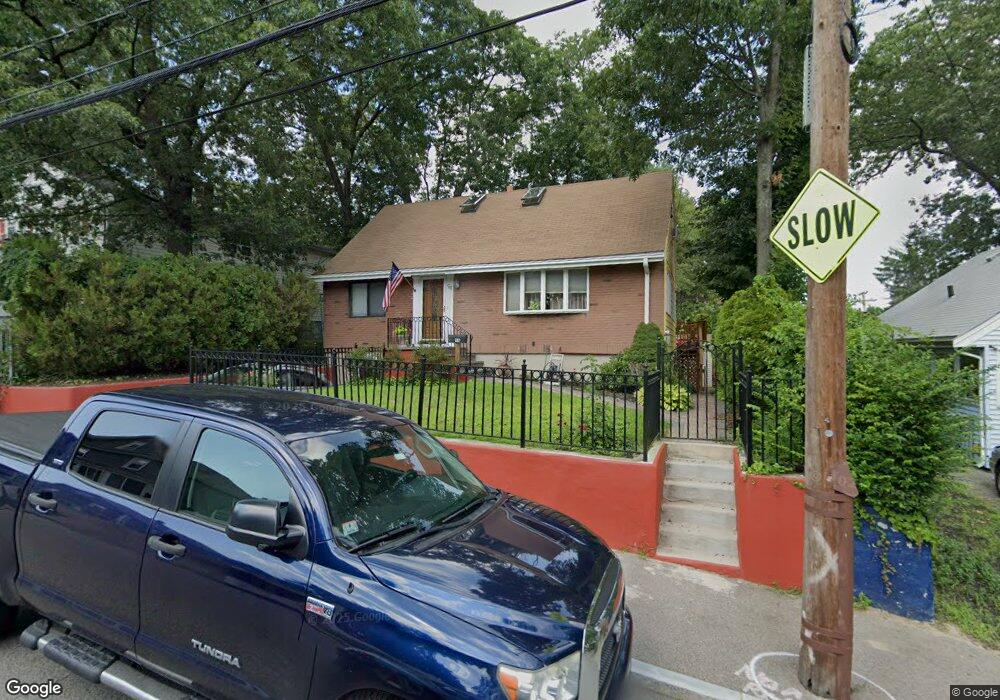
94 Taunton Ave Mattapan, MA 02126
Hyde Park NeighborhoodEstimated Value: $612,000 - $696,000
3
Beds
3
Baths
1,530
Sq Ft
$422/Sq Ft
Est. Value
About This Home
This home is located at 94 Taunton Ave, Mattapan, MA 02126 and is currently estimated at $645,911, approximately $422 per square foot. 94 Taunton Ave is a home located in Suffolk County with nearby schools including Boston Preparatory Charter Public School and Berea Seventh-day Adventist Academy.
Ownership History
Date
Name
Owned For
Owner Type
Purchase Details
Closed on
Apr 20, 2004
Sold by
Webbe Valerie M and Webbe Joel H
Bought by
Folkes Maureen E
Current Estimated Value
Home Financials for this Owner
Home Financials are based on the most recent Mortgage that was taken out on this home.
Original Mortgage
$245,000
Outstanding Balance
$114,650
Interest Rate
5.58%
Mortgage Type
Purchase Money Mortgage
Estimated Equity
$531,261
Create a Home Valuation Report for This Property
The Home Valuation Report is an in-depth analysis detailing your home's value as well as a comparison with similar homes in the area
Home Values in the Area
Average Home Value in this Area
Purchase History
| Date | Buyer | Sale Price | Title Company |
|---|---|---|---|
| Folkes Maureen E | $315,000 | -- |
Source: Public Records
Mortgage History
| Date | Status | Borrower | Loan Amount |
|---|---|---|---|
| Open | Folkes Maureen E | $245,000 | |
| Previous Owner | Folkes Maureen E | $125,000 | |
| Previous Owner | Folkes Maureen E | $80,000 |
Source: Public Records
Tax History Compared to Growth
Tax History
| Year | Tax Paid | Tax Assessment Tax Assessment Total Assessment is a certain percentage of the fair market value that is determined by local assessors to be the total taxable value of land and additions on the property. | Land | Improvement |
|---|---|---|---|---|
| 2025 | $6,162 | $532,100 | $144,600 | $387,500 |
| 2024 | $6,092 | $558,900 | $137,600 | $421,300 |
| 2023 | $5,558 | $517,500 | $127,400 | $390,100 |
| 2022 | $5,262 | $483,600 | $119,100 | $364,500 |
| 2021 | $4,844 | $454,000 | $114,500 | $339,500 |
| 2020 | $4,078 | $386,200 | $106,300 | $279,900 |
| 2019 | $3,673 | $348,500 | $82,000 | $266,500 |
| 2018 | $3,477 | $331,800 | $82,000 | $249,800 |
| 2017 | $3,225 | $304,500 | $82,000 | $222,500 |
| 2016 | $3,160 | $287,300 | $82,000 | $205,300 |
| 2015 | $3,040 | $251,000 | $83,700 | $167,300 |
| 2014 | -- | $232,000 | $83,700 | $148,300 |
Source: Public Records
Map
Nearby Homes
- 7 Winborough St
- 25 Alpine St Unit 7
- 23 Caton St
- 34 Ridlon Rd
- 90 Hollingsworth St
- 645 River St
- 0 Tina Ave
- 839-843 Cummins Hwy
- 20 Massasoit St
- 42 Osceola St
- 265 Hebron St
- 48-50 Rockdale St
- 770 Cummins Hwy Unit 1
- 770 Cummins Hwy Unit 22
- 10 Brockton St
- 231 Itasca St
- 179 Hebron St
- 112 Brush Hill Rd
- 95 Woodhaven St
- 16 Concord Ave Unit 1
- 61 Roseberry Rd
- 86 Taunton Ave
- 161 Ruskindale Rd
- 157 Ruskindale Rd
- 165 Ruskindale Rd
- 64 Radcliffe Rd
- 82 Taunton Ave
- 89 Taunton Ave
- 85 Taunton Ave
- 98 Taunton Ave
- 153 Ruskindale Rd
- 76 Radcliffe Rd
- 76 Radcliffe Rd Unit 3
- 76 Radcliffe Rd
- 76 Radcliffe Rd Unit 2
- 56 Roseberry Rd
- 80 Radcliffe Rd
- 100 Taunton Ave
- 93 Taunton Ave
- 82 Radcliffe Rd