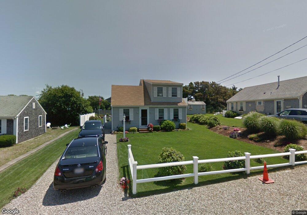
94 Uncle Rolf Rd Dennis Port, MA 02639
Dennis Port NeighborhoodEstimated Value: $516,000 - $786,000
2
Beds
1
Bath
800
Sq Ft
$862/Sq Ft
Est. Value
About This Home
This home is located at 94 Uncle Rolf Rd, Dennis Port, MA 02639 and is currently estimated at $689,401, approximately $861 per square foot. 94 Uncle Rolf Rd is a home located in Barnstable County with nearby schools including Dennis-Yarmouth Regional High School and St. Pius X. School.
Ownership History
Date
Name
Owned For
Owner Type
Purchase Details
Closed on
Oct 31, 1995
Sold by
Carlton John and Carlton Kathleen L
Bought by
Delrosso Steven L and Delrosso Gail R
Current Estimated Value
Home Financials for this Owner
Home Financials are based on the most recent Mortgage that was taken out on this home.
Original Mortgage
$65,000
Outstanding Balance
$909
Interest Rate
7.6%
Mortgage Type
Purchase Money Mortgage
Estimated Equity
$688,492
Purchase Details
Closed on
Jan 13, 1992
Sold by
Malone Robert J
Bought by
Carlton John and Carlton Kathleen L
Create a Home Valuation Report for This Property
The Home Valuation Report is an in-depth analysis detailing your home's value as well as a comparison with similar homes in the area
Home Values in the Area
Average Home Value in this Area
Purchase History
| Date | Buyer | Sale Price | Title Company |
|---|---|---|---|
| Delrosso Steven L | $130,000 | -- | |
| Delrosso Steven L | $130,000 | -- | |
| Carlton John | $41,000 | -- |
Source: Public Records
Mortgage History
| Date | Status | Borrower | Loan Amount |
|---|---|---|---|
| Open | Carlton John | $65,000 | |
| Closed | Carlton John | $65,000 |
Source: Public Records
Tax History Compared to Growth
Tax History
| Year | Tax Paid | Tax Assessment Tax Assessment Total Assessment is a certain percentage of the fair market value that is determined by local assessors to be the total taxable value of land and additions on the property. | Land | Improvement |
|---|---|---|---|---|
| 2025 | $2,833 | $654,300 | $302,500 | $351,800 |
| 2024 | $2,738 | $623,700 | $290,900 | $332,800 |
| 2023 | $2,666 | $570,900 | $264,500 | $306,400 |
| 2022 | $2,679 | $478,400 | $249,300 | $229,100 |
| 2021 | $114 | $426,600 | $244,400 | $182,200 |
| 2020 | $2,705 | $443,400 | $271,600 | $171,800 |
| 2019 | $2,554 | $413,900 | $266,300 | $147,600 |
| 2018 | $99 | $355,600 | $212,900 | $142,700 |
| 2017 | $92 | $355,700 | $213,000 | $142,700 |
| 2016 | $2,153 | $329,700 | $207,900 | $121,800 |
| 2015 | $2,110 | $329,700 | $207,900 | $121,800 |
| 2014 | $2,036 | $320,700 | $202,800 | $117,900 |
Source: Public Records
Map
Nearby Homes
- 112 Old Wharf Rd Unit E4
- 112 Old Wharf Rd Unit E1
- 64 Beaten Rd
- 120 Old Wharf Rd Unit 11
- 154 Old Wharf Rd Unit 26
- 154 Old Wharf Rd Unit 14
- 37 Ocean Dr Unit 2
- 217 Old Wharf Rd Unit 64
- 241 Old Wharf Rd Unit 82
- 241 Old Wharf Rd Unit 127
- 241 Old Wharf Rd Unit 90
- 262 Old Wharf Rd Unit 67
- 262 Old Wharf Rd Unit 5
- 262 Old Wharf Rd Unit 5
- 262 Old Wharf Rd Unit 20
- 262 Old Wharf Rd Unit 87
- 37 Beach Hills Rd
- 37-A Beach Hills Rd
- 80 Michaels Ave
- 31 Easy St
- 96 Uncle Rolf Rd
- 90 Uncle Rolf Rd
- 209 Captain Chase Rd
- 213 Captain Chase Rd
- 89,89A Uncle Rolf
- 207 Captain Chase Rd
- 100 Uncle Rolf Rd
- 88 Uncle Rolf Rd
- 215 Captain Chase Rd
- 203 Captain Chase Rd
- 91 Uncle Rolf Rd
- 93 Uncle Rolf Rd
- 87 Uncle Rolf Rd
- 95 Uncle Rolf Rd
- 95 Uncle Rolf Rd Unit 1
- 104 Uncle Rolf Rd
- 208 Captain Chase Rd
- 208 Captain Chase Rd Unit 1 & 2
- 208 Captain Chase Rd Unit 2
- 85 Uncle Rolf Rd