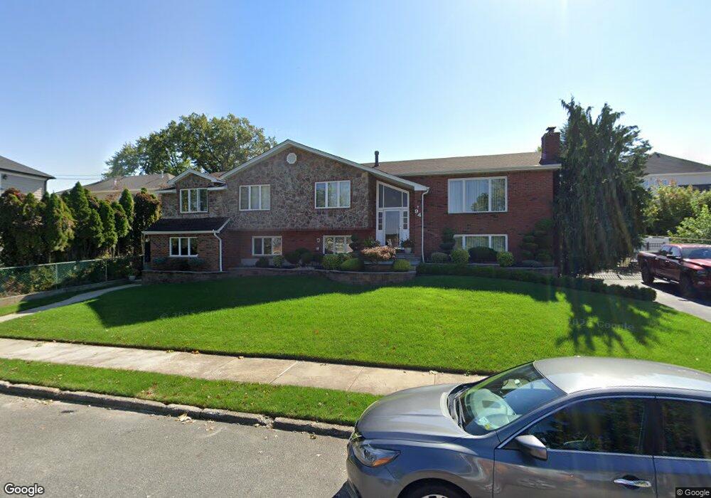
94 Wieland Ave Staten Island, NY 10309
Woodrow NeighborhoodEstimated Value: $1,164,000 - $1,440,000
--
Bed
--
Bath
3,800
Sq Ft
$353/Sq Ft
Est. Value
About This Home
This home is located at 94 Wieland Ave, Staten Island, NY 10309 and is currently estimated at $1,341,171, approximately $352 per square foot. 94 Wieland Ave is a home located in Richmond County with nearby schools including P.S. 56 - The Louis Desario School, Is 34 Tottenville, and Tottenville High School.
Ownership History
Date
Name
Owned For
Owner Type
Purchase Details
Closed on
Apr 3, 2018
Sold by
Moen Harald and Moen Anne Lise
Bought by
Moen Jan and Moen Family Y Irrevocable Trus
Current Estimated Value
Purchase Details
Closed on
Mar 30, 2016
Sold by
Moen Harald and Moen Anne Lise
Bought by
Moen Harald and Moen Anne Lise
Create a Home Valuation Report for This Property
The Home Valuation Report is an in-depth analysis detailing your home's value as well as a comparison with similar homes in the area
Home Values in the Area
Average Home Value in this Area
Purchase History
| Date | Buyer | Sale Price | Title Company |
|---|---|---|---|
| Moen Jan | -- | None Available | |
| Moen Harald | -- | None Available |
Source: Public Records
Tax History Compared to Growth
Tax History
| Year | Tax Paid | Tax Assessment Tax Assessment Total Assessment is a certain percentage of the fair market value that is determined by local assessors to be the total taxable value of land and additions on the property. | Land | Improvement |
|---|---|---|---|---|
| 2025 | $12,057 | $80,880 | $19,371 | $61,509 |
| 2024 | $12,069 | $68,820 | $21,476 | $47,344 |
| 2023 | $11,961 | $60,293 | $18,699 | $41,594 |
| 2022 | $11,068 | $76,320 | $24,060 | $52,260 |
| 2021 | $11,667 | $80,100 | $24,060 | $56,040 |
| 2020 | $11,190 | $69,120 | $24,060 | $45,060 |
| 2019 | $10,416 | $67,560 | $24,060 | $43,500 |
| 2018 | $9,945 | $50,244 | $22,511 | $27,733 |
| 2017 | $9,363 | $47,400 | $20,285 | $27,115 |
| 2016 | $4,117 | $47,400 | $22,983 | $24,417 |
| 2015 | $3,485 | $45,219 | $17,706 | $27,513 |
| 2014 | $3,485 | $42,660 | $20,040 | $22,620 |
Source: Public Records
Map
Nearby Homes
- 104 Wieland Ave
- 106 Wieland Ave
- 108 Wieland Ave
- 1272 Woodrow Rd
- 0 Woodrow Rd
- 142 Wieland Ave
- 880 Sinclair Ave
- 559 Alverson Ave
- 839 Sinclair Ave
- 973 Sheldon Ave
- 265 Ramapo Ave
- 30 Alverson Loop
- 960 Rensselaer Ave
- 816 Sinclair Ave
- 980 Rensselaer Ave
- 727 Stafford Ave
- 859 Rathbun Ave
- 9 Mallow St
- 1030 Rensselaer Ave
- 1046 Rensselaer Ave
- 600 Foster Rd
- 84 Wieland Ave
- 157 Ramapo Ave
- 598 Foster Rd
- 165 Ramapo Ave
- 594 Foster Rd
- 169 Ramapo Ave
- 1284 Woodrow Rd
- 1280 Woodrow Rd
- 107 Wieland Ave
- 116 Wieland Ave
- 1288 Woodrow Rd
- 1276 Woodrow Rd
- 1292 Woodrow Rd
- 111 Wieland Ave
- 175 Ramapo Ave
- 1268 Woodrow Rd
- 115 Wieland Ave
- 150 Ramapo Ave
- 144 Ramapo Ave