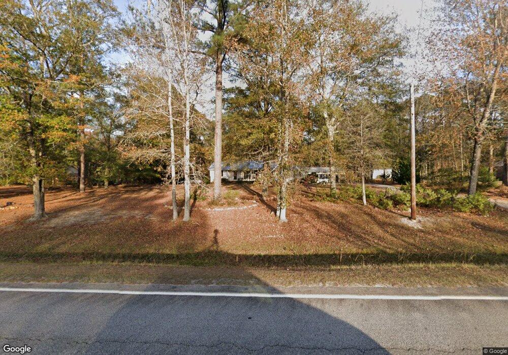
940 Cedar Rock Rd Thomson, GA 30824
Estimated Value: $309,758 - $407,000
3
Beds
2
Baths
2,780
Sq Ft
$129/Sq Ft
Est. Value
About This Home
This home is located at 940 Cedar Rock Rd, Thomson, GA 30824 and is currently estimated at $357,940, approximately $128 per square foot. 940 Cedar Rock Rd is a home located in McDuffie County with nearby schools including Thomson High School.
Ownership History
Date
Name
Owned For
Owner Type
Purchase Details
Closed on
Jun 26, 2013
Sold by
Davis Lynn M
Bought by
Davis Damon
Current Estimated Value
Home Financials for this Owner
Home Financials are based on the most recent Mortgage that was taken out on this home.
Original Mortgage
$147,537
Outstanding Balance
$105,451
Interest Rate
3.75%
Mortgage Type
FHA
Estimated Equity
$252,489
Purchase Details
Closed on
Jan 8, 1992
Bought by
Howard Lynn M
Create a Home Valuation Report for This Property
The Home Valuation Report is an in-depth analysis detailing your home's value as well as a comparison with similar homes in the area
Home Values in the Area
Average Home Value in this Area
Purchase History
| Date | Buyer | Sale Price | Title Company |
|---|---|---|---|
| Davis Damon | $145,000 | -- | |
| Howard Lynn M | $11,000 | -- |
Source: Public Records
Mortgage History
| Date | Status | Borrower | Loan Amount |
|---|---|---|---|
| Open | Davis Damon | $147,537 |
Source: Public Records
Tax History
| Year | Tax Paid | Tax Assessment Tax Assessment Total Assessment is a certain percentage of the fair market value that is determined by local assessors to be the total taxable value of land and additions on the property. | Land | Improvement |
|---|---|---|---|---|
| 2025 | $2,858 | $124,266 | $4,706 | $119,560 |
| 2024 | $2,858 | $118,196 | $4,570 | $113,626 |
| 2023 | $2,803 | $113,215 | $4,352 | $108,863 |
| 2022 | $2,365 | $91,048 | $4,352 | $86,696 |
| 2021 | $1,904 | $72,568 | $4,352 | $68,216 |
| 2020 | $1,667 | $63,125 | $4,181 | $58,944 |
| 2019 | $1,685 | $63,125 | $4,181 | $58,944 |
| 2018 | $1,685 | $63,125 | $4,181 | $58,944 |
| 2017 | $1,311 | $51,697 | $4,181 | $47,516 |
| 2016 | $1,311 | $51,697 | $4,181 | $47,516 |
| 2015 | $1,747 | $73,747 | $3,757 | $69,990 |
| 2014 | $1,750 | $73,748 | $3,758 | $69,990 |
| 2013 | -- | $73,747 | $3,757 | $69,990 |
Source: Public Records
Map
Nearby Homes
- 325 Bordeaux Dr
- 599 Twin Oaks Rd
- 615 Hemlock Dr
- 624 Hemlock Dr
- 609 Main St
- 304 Neal St
- 125 Lee St
- 123 Lee St
- 212 Whitehead St
- 641 Ellington Ave
- 1288 Wrightsboro Rd
- 236 Greenway St
- 301 Cleveland St
- 219 White Oak St
- 466 Edgar Cir
- 318 White Oak St
- 119 Georgia Ave
- 535 White Oak St
- 403 Fluker St
- 410 Johns Rd
- 960 Cedar Rock Rd
- 920 Cedar Rock Rd
- 982 Cedar Rock Rd
- 900 Cedar Rock Rd
- 913 Cedar Rock Rd
- 937 Cedar Rock Rd
- 899 Cedar Rock Rd
- 1000 Cedar Rock Rd
- 891 Cedar Rock Rd
- 327 Bordeaux Dr
- 331 Bordeaux Dr
- 330 Bordeaux Dr Unit NW
- 318 Bordeaux Dr Unit NW
- 320 Bordeaux Dr Unit NW
- 313 Bordeaux Dr Unit NW
- 307 Bordeaux Dr
- 303 Bordeaux Dr Unit NW
- 311 Bordeaux Dr Unit NW
- 879 Cedar Rock Rd
- 868 Cedar Rock Rd
Your Personal Tour Guide
Ask me questions while you tour the home.