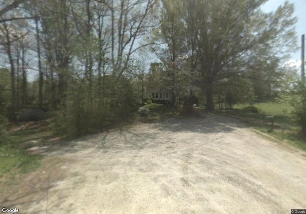
940 Hammer Rd Taylorsville, NC 28681
Estimated Value: $151,000 - $260,000
2
Beds
2
Baths
792
Sq Ft
$249/Sq Ft
Est. Value
About This Home
This home is located at 940 Hammer Rd, Taylorsville, NC 28681 and is currently estimated at $196,886, approximately $248 per square foot. 940 Hammer Rd is a home located in Alexander County with nearby schools including Taylorsville Elementary School, East Alexander Middle School, and Alexander Central High School.
Ownership History
Date
Name
Owned For
Owner Type
Purchase Details
Closed on
Jun 4, 2012
Sold by
Hammer Elizabeth B
Bought by
Hammer Deborah J
Current Estimated Value
Purchase Details
Closed on
May 10, 2012
Sold by
Hammer Harold Dean and Hammer Martha Childers
Bought by
Hammer Elizabeth B
Purchase Details
Closed on
Jun 2, 2011
Sold by
Hammer Harold Dean and Hammer Martha Childers
Bought by
Hammer Elizabeth B
Create a Home Valuation Report for This Property
The Home Valuation Report is an in-depth analysis detailing your home's value as well as a comparison with similar homes in the area
Home Values in the Area
Average Home Value in this Area
Purchase History
| Date | Buyer | Sale Price | Title Company |
|---|---|---|---|
| Hammer Deborah J | -- | None Available | |
| Hammer Elizabeth B | -- | None Available | |
| Hammer Elizabeth B | -- | None Available |
Source: Public Records
Tax History Compared to Growth
Tax History
| Year | Tax Paid | Tax Assessment Tax Assessment Total Assessment is a certain percentage of the fair market value that is determined by local assessors to be the total taxable value of land and additions on the property. | Land | Improvement |
|---|---|---|---|---|
| 2025 | $585 | $80,148 | $44,230 | $35,918 |
| 2024 | $577 | $80,148 | $44,230 | $35,918 |
| 2023 | $577 | $80,148 | $44,230 | $35,918 |
| 2022 | $460 | $54,801 | $36,025 | $18,776 |
| 2021 | $465 | $54,801 | $36,025 | $18,776 |
| 2020 | $460 | $54,801 | $36,025 | $18,776 |
| 2019 | $460 | $54,801 | $36,025 | $18,776 |
| 2018 | $453 | $54,801 | $36,025 | $18,776 |
| 2017 | $453 | $54,801 | $36,025 | $18,776 |
| 2016 | $481 | $54,801 | $36,025 | $18,776 |
| 2015 | $453 | $54,801 | $36,025 | $18,776 |
| 2014 | $453 | $48,043 | $35,547 | $12,496 |
| 2012 | -- | $63,765 | $33,297 | $30,468 |
Source: Public Records
Map
Nearby Homes
- 410 Cole Campbell Rd
- 601 1st Avenue Dr SE
- 00 Black Oak Ridge Rd
- 347 E Main Ave
- 125 Will Wilson Ln
- 749 Boston Rd
- 77 2nd Ave SE
- 585 Rocky Springs Rd
- 1.45 Acres Paul Payne Store Rd Unit Lot 9
- 1.36 Acres Paul Payne Store Rd Unit Lot 8
- 162 4th St NE
- 153 S Center St
- 60 Shadowwood Dr
- 663 Nc 161 Hwy Hwy
- 24 7th St NW
- 9B W Main Ave
- 9C W Main Ave
- 0 Robertson Dr Unit 42 CAR4177875
- 0 Robertson Dr Unit 42 1153980
- 0 Robertson Dr Unit 17 1153990
- 200 Sunny Ln
- 857 Hammer Rd
- 810 Hammer Rd
- 760 Hammer Rd
- 166 Sunny Ln
- 51 Sunny Ln
- 47 Sunny Ln
- 661 Hammer Rd
- 661 Hammer Rd
- 20 Sunny Ln
- 0 Boston Rd Unit 24 9563498
- 0 Boston Rd Unit 1,2,3 9585371
- 0 Boston Rd Unit 1,2,3
- 0 Boston Rd Unit 1, 2, 3 3519188
- 123 Jessie Mays Ln
- 1200 N Carolina 90
- 1200 Nc Highway 90 E
- 1341 Nc Highway 90 E
- 11 Bandit St
- 1341 N Carolina 90