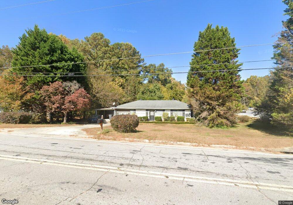
940 Ralph Rd SE Conyers, GA 30094
Estimated Value: $155,000 - $196,000
3
Beds
1
Bath
1,040
Sq Ft
$171/Sq Ft
Est. Value
About This Home
This home is located at 940 Ralph Rd SE, Conyers, GA 30094 and is currently estimated at $177,779, approximately $170 per square foot. 940 Ralph Rd SE is a home located in Rockdale County with nearby schools including Honey Creek Elementary School, Edwards Middle School, and Heritage High School.
Ownership History
Date
Name
Owned For
Owner Type
Purchase Details
Closed on
Oct 2, 2017
Sold by
Snow Roger
Bought by
New Rock Investments Llc
Current Estimated Value
Purchase Details
Closed on
Dec 4, 2013
Sold by
Snow Roger
Bought by
Snow Roger and Snow Eva Lisa
Home Financials for this Owner
Home Financials are based on the most recent Mortgage that was taken out on this home.
Original Mortgage
$31,507
Interest Rate
4.31%
Mortgage Type
New Conventional
Purchase Details
Closed on
Nov 15, 2013
Sold by
Longval Darla Parker
Bought by
Snow Roger
Home Financials for this Owner
Home Financials are based on the most recent Mortgage that was taken out on this home.
Original Mortgage
$31,507
Interest Rate
4.31%
Mortgage Type
New Conventional
Create a Home Valuation Report for This Property
The Home Valuation Report is an in-depth analysis detailing your home's value as well as a comparison with similar homes in the area
Home Values in the Area
Average Home Value in this Area
Purchase History
| Date | Buyer | Sale Price | Title Company |
|---|---|---|---|
| New Rock Investments Llc | -- | -- | |
| Snow Roger | -- | -- | |
| Snow Roger | $45,000 | -- |
Source: Public Records
Mortgage History
| Date | Status | Borrower | Loan Amount |
|---|---|---|---|
| Previous Owner | Snow Roger | $31,507 |
Source: Public Records
Tax History Compared to Growth
Tax History
| Year | Tax Paid | Tax Assessment Tax Assessment Total Assessment is a certain percentage of the fair market value that is determined by local assessors to be the total taxable value of land and additions on the property. | Land | Improvement |
|---|---|---|---|---|
| 2024 | $2,152 | $52,680 | $17,520 | $35,160 |
| 2023 | $2,208 | $52,760 | $17,600 | $35,160 |
| 2022 | $1,703 | $40,040 | $11,680 | $28,360 |
| 2021 | $1,294 | $30,240 | $7,400 | $22,840 |
| 2020 | $1,168 | $27,400 | $6,160 | $21,240 |
| 2019 | $1,113 | $24,800 | $6,000 | $18,800 |
| 2018 | $862 | $19,120 | $4,680 | $14,440 |
| 2017 | $808 | $17,760 | $4,680 | $13,080 |
| 2016 | $808 | $17,760 | $4,680 | $13,080 |
| 2015 | $898 | $19,720 | $4,680 | $15,040 |
| 2014 | $934 | $20,280 | $3,960 | $16,320 |
| 2013 | -- | $25,640 | $6,800 | $18,840 |
Source: Public Records
Map
Nearby Homes
- 812 Raintree Way SE
- 820 Bridgewater Way SE
- 1115 Fountain Crest Dr
- 1813 Holmsey Cir
- 3180 Highway 20 SE
- 2923 Raintree Dr SE
- 2924 Raintree Dr SE
- 832 Virginia Ct SE
- 1388 Fall River Dr
- 726 Shoreline Trail SE
- 917 Curry Cir SE
- 3014 Lakeridge Dr SE
- 3265 Highway 20 SE
- 464 Reflection Creek Dr
- 440 Reflection Creek Dr
- 452 Reflection Creek Dr
- 3021 Lakeridge Dr SE
- 3027 Lakeridge Dr SE
- 1613 Brolington Ct
- 693 Deering Rd SE
- 930 Ralph Rd SE
- 3025 Highway 20 SE
- 3053 Highway 20 SE
- 920 Ralph Rd SE
- 917 Raintree Ct SE
- 910 Ralph Rd SE
- 3063 Ga-20
- 918 Raintree Ct SE
- 918 Raintree Ct SE Unit 14
- 3063 Highway 20 SE
- 3063 Georgia 20 Unit 174
- 915 Raintree Ct SE
- 921 Ralph Rd SE
- 900 Ralph Rd SE
- 913 Ralph Rd SE
- 3073 Highway 20 SE Unit 1
- 916 Raintree Ct SE
- 903 Ralph Rd SE
- 897 Raintree Ct SE
- 894 Ralph Rd SE