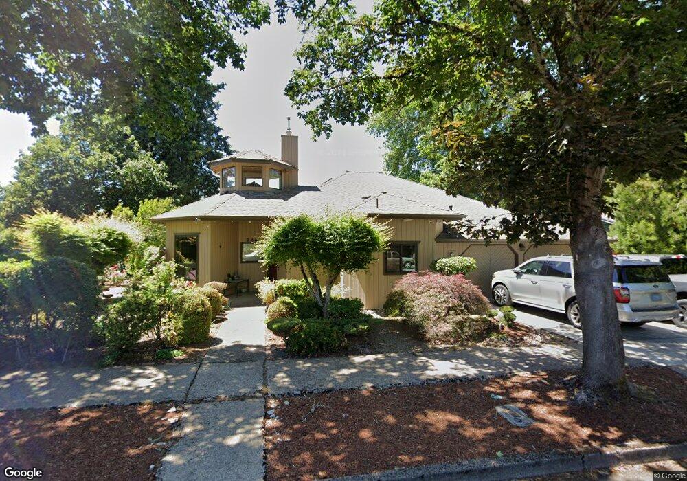
940 St Andrews Dr Eugene, OR 97401
Cal Young NeighborhoodEstimated Value: $721,043 - $926,000
4
Beds
3
Baths
2,382
Sq Ft
$354/Sq Ft
Est. Value
About This Home
This home is located at 940 St Andrews Dr, Eugene, OR 97401 and is currently estimated at $843,261, approximately $354 per square foot. 940 St Andrews Dr is a home located in Lane County with nearby schools including Willagillespie Elementary School, Monroe Middle School, and Sheldon High School.
Create a Home Valuation Report for This Property
The Home Valuation Report is an in-depth analysis detailing your home's value as well as a comparison with similar homes in the area
Home Values in the Area
Average Home Value in this Area
Tax History
| Year | Tax Paid | Tax Assessment Tax Assessment Total Assessment is a certain percentage of the fair market value that is determined by local assessors to be the total taxable value of land and additions on the property. | Land | Improvement |
|---|---|---|---|---|
| 2025 | $8,701 | $446,555 | -- | -- |
| 2024 | $8,592 | $433,549 | -- | -- |
| 2023 | $8,592 | $420,922 | -- | -- |
| 2022 | $8,050 | $408,663 | $0 | $0 |
| 2021 | $7,474 | $396,761 | $0 | $0 |
| 2020 | $7,333 | $385,205 | $0 | $0 |
| 2019 | $7,019 | $373,986 | $0 | $0 |
| 2018 | $6,641 | $352,518 | $0 | $0 |
| 2017 | $6,330 | $352,518 | $0 | $0 |
| 2016 | $5,977 | $342,250 | $0 | $0 |
| 2015 | $5,903 | $332,282 | $0 | $0 |
| 2014 | $5,632 | $322,604 | $0 | $0 |
Source: Public Records
Map
Nearby Homes
- 863 Fairway View Dr
- 2150 Greenview St
- 820 Lariat Dr
- 0 Cal Young Rd Unit Lot 4
- 516 Spyglass Dr
- 410 Spyglass Dr
- 2355 Pioneer Pike
- 950 Coburg Rd
- 1328 Spyglass Dr
- 2036 Eastwood Ln
- 1376 Brickley Rd
- 347 Rustic Place Unit 14
- 600 Cherry Dr Unit 8
- 1632 Larkspur Loop
- 0 Crenshaw Rd Unit 740506614
- 1282 Evening Star Ln
- 1230 Evening Star Ln
- 1500 Norkenzie Rd Unit 12
- 1500 Norkenzie Rd Unit 43
- 2746 Harlow Rd
- 950 St Andrews Dr
- 2161 Prestwich Place
- 2176 Prestwich Place
- 935 St Andrews Dr
- 960 St Andrews Dr
- 2152 Brookhaven Way
- 945 St Andrews Dr
- 2141 Prestwich Place
- 2156 Prestwich Place
- 965 St Andrews Dr
- 925 St Andrews Dr
- 2142 Brookhaven Way
- 2121 Prestwich Place
- 2136 Prestwich Place
- 985 St Andrews Dr
- 2153 Brookhaven Way
- 2122 Brookhaven Way
- 915 St Andrews Dr
- 2143 Brookhaven Way
- 2101 Prestwich Place
Your Personal Tour Guide
Ask me questions while you tour the home.