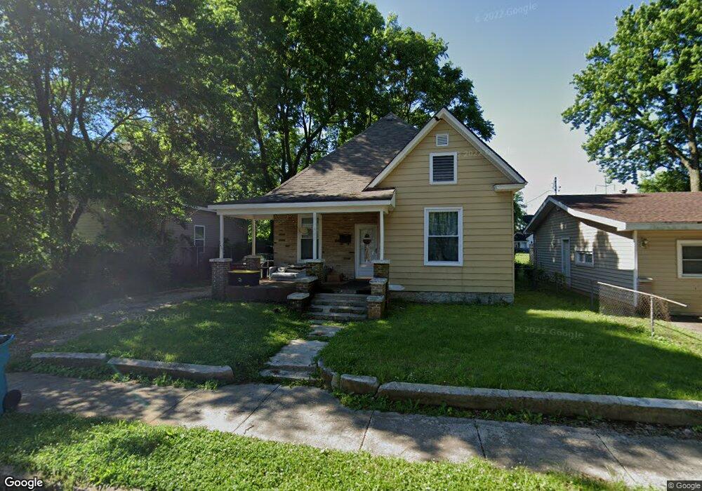
940 W Brower St Springfield, MO 65802
Grant Beach NeighborhoodEstimated Value: $141,129 - $153,000
3
Beds
1
Bath
1,191
Sq Ft
$124/Sq Ft
Est. Value
About This Home
This home is located at 940 W Brower St, Springfield, MO 65802 and is currently estimated at $147,282, approximately $123 per square foot. 940 W Brower St is a home located in Greene County with nearby schools including Weaver Elementary School, Pipkin Middle School, and Central High School.
Ownership History
Date
Name
Owned For
Owner Type
Purchase Details
Closed on
Jan 28, 2019
Sold by
First Quality Assets Llc
Bought by
Olson Jan-Michael
Current Estimated Value
Purchase Details
Closed on
Nov 27, 2018
Sold by
S & C Group Llc
Bought by
Frist Quality Assets Llc
Purchase Details
Closed on
Oct 23, 2015
Sold by
Starks Johnny C
Bought by
S&C Group Llc
Create a Home Valuation Report for This Property
The Home Valuation Report is an in-depth analysis detailing your home's value as well as a comparison with similar homes in the area
Home Values in the Area
Average Home Value in this Area
Purchase History
We collect this data history from publicly available records. To have your information removed, we recommend requesting removal directly through your county’s website.
| Date | Buyer | Sale Price | Title Company |
|---|---|---|---|
| Olson Jan-Michael | -- | None Available | |
| Frist Quality Assets Llc | -- | None Available | |
| S&C Group Llc | $3,800 | None Available |
Source: Public Records
Tax History
| Year | Tax Paid | Tax Assessment Tax Assessment Total Assessment is a certain percentage of the fair market value that is determined by local assessors to be the total taxable value of land and additions on the property. | Land | Improvement |
|---|---|---|---|---|
| 2025 | $780 | $15,660 | $3,330 | $12,330 |
| 2024 | $620 | $11,550 | $1,670 | $9,880 |
| 2023 | $616 | $11,550 | $1,670 | $9,880 |
| 2022 | $558 | $10,220 | $1,670 | $8,550 |
| 2021 | $558 | $10,220 | $1,670 | $8,550 |
| 2020 | $495 | $8,660 | $1,670 | $6,990 |
| 2019 | $481 | $8,660 | $1,670 | $6,990 |
| 2018 | $404 | $7,290 | $1,670 | $5,620 |
| 2017 | $400 | $7,350 | $1,670 | $5,680 |
| 2016 | $403 | $7,350 | $1,670 | $5,680 |
| 2015 | $965 | $7,350 | $1,670 | $5,680 |
| 2014 | $402 | $7,350 | $1,670 | $5,680 |
Source: Public Records
Map
Nearby Homes
- 936 W Brower St
- 926 W Brower St
- 946 W Poplar St
- 1012 W Nichols St
- 937 N Missouri Ave
- 1020 W Nichols St
- 1030 W Nichols St
- 811 W Nichols St
- 812 N Grant Ave
- 1010 W Scott St
- 822 W Scott St
- 818 W Scott St
- 901 N Concord Ave
- 913 N Concord Ave
- 642 W Nichols St
- 642 W Nichols St Unit Single Family Rental
- 1323 W Poplar St
- 1129 W Scott St
- 1312 W Central St
- 1325 W Brower St
- 946 W Brower St
- 950 W Brower St
- 930 W Brower St
- 941 W Brower St
- 945 W Brower St
- 935 W Brower St
- 941 W Poplar St
- 935 W Poplar St Unit A
- 935 W Poplar St
- 951 W Brower St
- 931 W Brower St
- 931 W Poplar St
- 927 W Poplar St
- 925 W Brower St
- 919 W Brower St
- 914 W Brower St
- 917 W Brower St
- 940 W Central St
- 915 W Poplar St
- 944 W Central St
Your Personal Tour Guide
Ask me questions while you tour the home.