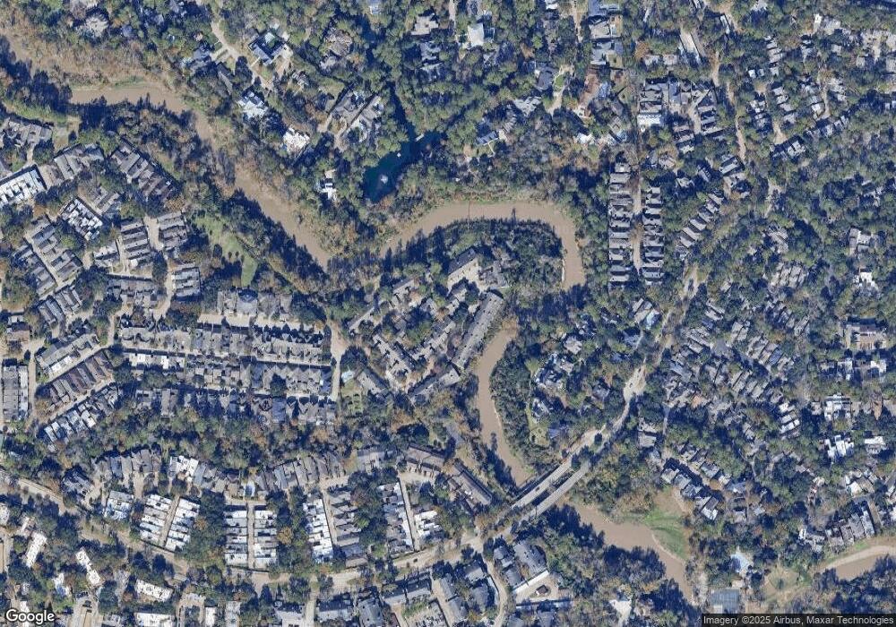
9400 Doliver Dr Unit 52 Houston, TX 77063
Mid West NeighborhoodEstimated Value: $268,416 - $351,000
2
Beds
3
Baths
1,490
Sq Ft
$198/Sq Ft
Est. Value
About This Home
This home is located at 9400 Doliver Dr Unit 52, Houston, TX 77063 and is currently estimated at $294,604, approximately $197 per square foot. 9400 Doliver Dr Unit 52 is a home located in Harris County with nearby schools including Emerson Elementary School, Paul Revere Middle School, and Wisdom High School.
Ownership History
Date
Name
Owned For
Owner Type
Purchase Details
Closed on
Jul 6, 1998
Sold by
Abadie John R and Abadie Julie
Bought by
Pareja Rebecca L
Current Estimated Value
Home Financials for this Owner
Home Financials are based on the most recent Mortgage that was taken out on this home.
Original Mortgage
$99,000
Outstanding Balance
$22,929
Interest Rate
8.5%
Estimated Equity
$271,675
Purchase Details
Closed on
Jun 23, 1995
Sold by
Dyer Jeffrey Lane
Bought by
Abadie John R
Home Financials for this Owner
Home Financials are based on the most recent Mortgage that was taken out on this home.
Original Mortgage
$88,800
Interest Rate
7.77%
Create a Home Valuation Report for This Property
The Home Valuation Report is an in-depth analysis detailing your home's value as well as a comparison with similar homes in the area
Home Values in the Area
Average Home Value in this Area
Purchase History
| Date | Buyer | Sale Price | Title Company |
|---|---|---|---|
| Pareja Rebecca L | -- | -- | |
| Abadie John R | -- | Lawyers Title Co |
Source: Public Records
Mortgage History
| Date | Status | Borrower | Loan Amount |
|---|---|---|---|
| Open | Pareja Rebecca L | $99,000 | |
| Previous Owner | Abadie John R | $88,800 |
Source: Public Records
Tax History Compared to Growth
Tax History
| Year | Tax Paid | Tax Assessment Tax Assessment Total Assessment is a certain percentage of the fair market value that is determined by local assessors to be the total taxable value of land and additions on the property. | Land | Improvement |
|---|---|---|---|---|
| 2025 | $559 | $243,695 | $80,000 | $163,695 |
| 2024 | $559 | $246,178 | $80,000 | $166,178 |
| 2023 | $559 | $256,817 | $80,000 | $176,817 |
| 2022 | $4,869 | $221,136 | $80,000 | $141,136 |
| 2021 | $4,903 | $210,386 | $71,200 | $139,186 |
| 2020 | $4,714 | $194,660 | $71,200 | $123,460 |
| 2019 | $5,010 | $209,652 | $74,400 | $135,252 |
| 2018 | $1,372 | $187,116 | $80,000 | $107,116 |
| 2017 | $5,361 | $212,000 | $80,000 | $132,000 |
| 2016 | $5,361 | $212,000 | $80,000 | $132,000 |
| 2015 | $3,477 | $217,687 | $80,000 | $137,687 |
| 2014 | $3,477 | $210,396 | $39,975 | $170,421 |
Source: Public Records
Map
Nearby Homes
- 9400 Doliver Dr Unit 70
- 9400 Doliver Dr Unit 12
- 9400 Doliver Dr Unit 36
- 9400 Doliver Dr Unit 56
- 251 Sugarberry Cir
- 9518 Bayou Brook St
- 45 Patti Lynn Ln
- 31 Knipp Rd
- 9171 Briar Forest Dr
- 9109 Briar Forest Dr
- 22 Sugarberry Cir
- 148 Sugarberry Cir
- 14 1/2 W Shady Ln
- 9620 Doliver Dr
- 9632 Bayou Brook St
- 9618 Bayou Brook St
- 2100 Tanglewilde St Unit 750
- 2100 Tanglewilde St Unit 169
- 2100 Tanglewilde St Unit 536
- 2100 Tanglewilde St Unit 402
- 9400 Doliver Dr Unit 11
- 9400 Doliver Dr Unit 67
- 9400 Doliver Dr Unit 73
- 9400 Doliver Dr Unit 71
- 9400 Doliver Dr Unit 37
- 9400 Doliver Dr Unit 34
- 9400 Doliver Dr Unit 17
- 9400 Doliver Dr Unit 21
- 9400 Doliver Dr Unit 68
- 9400 Doliver Dr Unit 47
- 9400 Doliver Dr Unit 57
- 9400 Doliver Dr Unit 48
- 9400 Doliver Dr Unit 65
- 9400 Doliver Dr Unit 3
- 9400 Doliver Dr Unit 19
- 9400 Doliver Dr Unit 13
- 9400 Doliver Dr Unit 25
- 9400 Doliver Dr Unit 51
- 9400 Doliver Dr Unit 63
- 9400 Doliver Dr Unit 27
