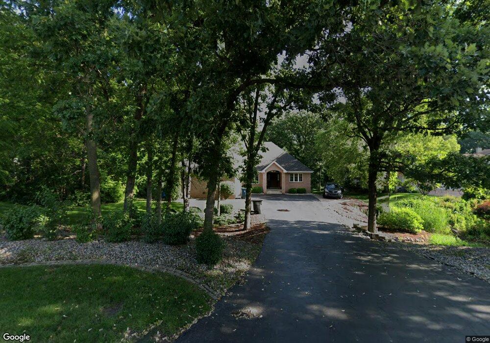
9400 W 77th Ave Schererville, IN 46375
Estimated Value: $436,000 - $481,000
3
Beds
3
Baths
1,800
Sq Ft
$252/Sq Ft
Est. Value
About This Home
This home is located at 9400 W 77th Ave, Schererville, IN 46375 and is currently estimated at $454,168, approximately $252 per square foot. 9400 W 77th Ave is a home located in Lake County with nearby schools including James H. Watson Elementary School, Michael Grimmer Middle School, and Lake Central High School.
Ownership History
Date
Name
Owned For
Owner Type
Purchase Details
Closed on
Jun 8, 2007
Sold by
Bowen David R and Bowen Jeannine C
Bought by
Totos Karen and Totos John
Current Estimated Value
Home Financials for this Owner
Home Financials are based on the most recent Mortgage that was taken out on this home.
Original Mortgage
$292,500
Outstanding Balance
$179,076
Interest Rate
6.2%
Mortgage Type
Purchase Money Mortgage
Estimated Equity
$275,092
Create a Home Valuation Report for This Property
The Home Valuation Report is an in-depth analysis detailing your home's value as well as a comparison with similar homes in the area
Home Values in the Area
Average Home Value in this Area
Purchase History
| Date | Buyer | Sale Price | Title Company |
|---|---|---|---|
| Totos Karen | -- | Ticor Cp |
Source: Public Records
Mortgage History
| Date | Status | Borrower | Loan Amount |
|---|---|---|---|
| Open | Totos Karen | $292,500 |
Source: Public Records
Tax History Compared to Growth
Tax History
| Year | Tax Paid | Tax Assessment Tax Assessment Total Assessment is a certain percentage of the fair market value that is determined by local assessors to be the total taxable value of land and additions on the property. | Land | Improvement |
|---|---|---|---|---|
| 2024 | $8,392 | $414,900 | $73,900 | $341,000 |
| 2023 | $3,845 | $412,100 | $73,900 | $338,200 |
| 2022 | $3,227 | $418,400 | $73,900 | $344,500 |
| 2021 | $3,227 | $338,100 | $73,900 | $264,200 |
| 2020 | $3,182 | $311,300 | $68,600 | $242,700 |
| 2019 | $3,323 | $298,800 | $68,600 | $230,200 |
| 2018 | $3,298 | $293,700 | $68,600 | $225,100 |
| 2017 | $3,140 | $298,900 | $68,600 | $230,300 |
| 2016 | $2,818 | $289,800 | $68,600 | $221,200 |
| 2014 | $2,821 | $280,500 | $68,600 | $211,900 |
| 2013 | $2,856 | $276,900 | $68,600 | $208,300 |
Source: Public Records
Map
Nearby Homes
- 204 Barbara Jean Dr
- 2308 Barbara Jean Dr
- 2030 Peace Parkway Ct
- 321 Deerpath Dr Unit 210
- 2371 Deerpath Dr Unit 105
- 2371 Deerpath Dr Unit 101
- 350 Waterford Cir N
- 2413 Venice Dr
- 355 Deerpath Dr W
- 2342 Anna St
- 32-44 E Lincoln Dr
- 2309 Deerpath Dr W
- 228 E U S Highway 30
- 2318 Divac Dr
- 2318 Deerpath Dr W
- 122 Genoa Ct
- 205 Fairview Ln
- 2036 Anna St
- 2129 Normandy Rd
- 2715 Capri Dr
- 9330 W 77th Ave
- 9408 W 77th Ave
- 2440 Austin Ave
- 2430 Austin Ave
- 9409 W 77th Ave
- 1509 Austin Ave
- part of, Austin Ave
- Lot 6 Austin Ave
- Lot 5 Austin Ave
- 1434 Austin Ave
- 2420 Austin Ave
- 9509 W 77th Ave
- 7712 Austin Ave
- 200 Barbara Jean Dr
- 202 Barbara Jean Dr
- 9521 W 77th Ave
- 206 Barbara Jean Dr
- 217 Barbara Jean Dr
- 9605 W 77th Ave
- 7718 Austin Ave