9401 MacKenzie Circle Ct Saint Louis, MO 63123
Estimated Value: $236,506 - $248,000
2
Beds
3
Baths
1,065
Sq Ft
$227/Sq Ft
Est. Value
About This Home
This home is located at 9401 MacKenzie Circle Ct, Saint Louis, MO 63123 and is currently estimated at $241,877, approximately $227 per square foot. 9401 MacKenzie Circle Ct is a home located in St. Louis County with nearby schools including Mesnier Primary School, Gotsch Intermediate School, and Rogers Middle School.
Ownership History
Date
Name
Owned For
Owner Type
Purchase Details
Closed on
Feb 3, 2003
Sold by
Ayer Diane P
Bought by
Ayer Robert C
Current Estimated Value
Purchase Details
Closed on
Jan 22, 2001
Sold by
George Nauman
Bought by
Ayer Diane P
Home Financials for this Owner
Home Financials are based on the most recent Mortgage that was taken out on this home.
Original Mortgage
$92,550
Outstanding Balance
$33,875
Interest Rate
7.43%
Estimated Equity
$208,002
Purchase Details
Closed on
Feb 18, 1999
Sold by
George Nauman
Bought by
Pearson Linda G
Create a Home Valuation Report for This Property
The Home Valuation Report is an in-depth analysis detailing your home's value as well as a comparison with similar homes in the area
Home Values in the Area
Average Home Value in this Area
Purchase History
| Date | Buyer | Sale Price | Title Company |
|---|---|---|---|
| Ayer Robert C | -- | -- | |
| Ayer Diane P | $129,000 | First American Title | |
| Ayer Diane P | $129,000 | First American Title | |
| Pearson Linda G | -- | -- |
Source: Public Records
Mortgage History
| Date | Status | Borrower | Loan Amount |
|---|---|---|---|
| Open | Ayer Diane P | $92,550 | |
| Closed | Ayer Diane P | $92,550 |
Source: Public Records
Tax History
| Year | Tax Paid | Tax Assessment Tax Assessment Total Assessment is a certain percentage of the fair market value that is determined by local assessors to be the total taxable value of land and additions on the property. | Land | Improvement |
|---|---|---|---|---|
| 2025 | $2,907 | $40,510 | $9,080 | $31,430 |
| 2024 | $2,907 | $35,780 | $5,300 | $30,480 |
| 2023 | $2,811 | $35,780 | $5,300 | $30,480 |
| 2022 | $2,804 | $30,590 | $6,040 | $24,550 |
| 2021 | $2,560 | $30,590 | $6,040 | $24,550 |
| 2020 | $2,530 | $28,210 | $6,040 | $22,170 |
| 2019 | $2,525 | $28,210 | $6,040 | $22,170 |
| 2018 | $2,498 | $24,670 | $3,480 | $21,190 |
| 2016 | $2,289 | $24,170 | $3,020 | $21,150 |
Source: Public Records
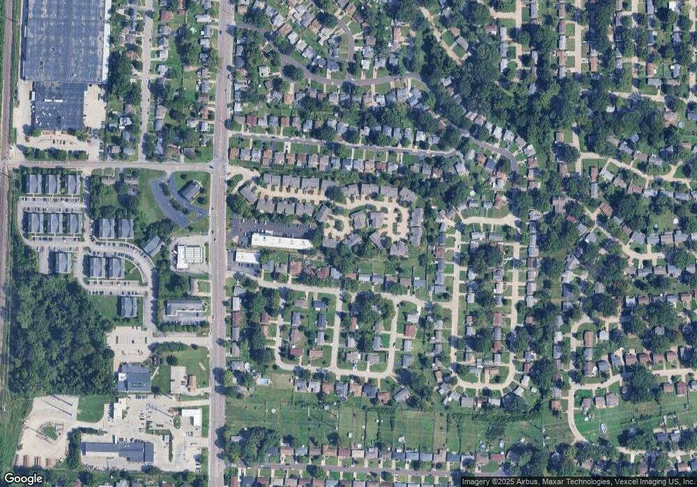
Map
Nearby Homes
- 9721 Shuffle Dr
- 9607 Reavis Rd
- 9406 Mackenzie Rd
- 9821 Zenith Dr
- 9955 Box Elder Ct
- 9105 Southview Ln
- 9117 Tiber Ct
- 9845 Reavis Rd
- 9901 Wil Bes Dr
- 10069 N Bunker Hill Dr Unit A
- 9925 Bunker Hill Dr Unit F
- 9047 Villaridge Ct Unit A
- 9070 Villaridge Ct Unit 38
- 6421 Judson Ave
- 9620 Chamblin Dr
- 9781 Tesson Creek Estates Dr
- 9883 Ione Ln
- 10184 Carlton Place Ct N
- 9924 Bunker Hill Dr Unit G
- 9115 Jonmar Ct
- 9409 MacKenzie Circle Ct
- 9400 MacKenzie Circle Ct
- 9400 MacKenzie Circle Dr
- 9408 MacKenzie Circle Ct
- 9419 MacKenzie Circle Ct
- 9413 Pancho Dr
- 9417 Pancho Dr
- 9308 MacKenzie Circle Dr
- 9409 Pancho Dr
- 9421 Pancho Dr
- 9304 MacKenzie Circle Dr
- 9420 MacKenzie Circle Ct
- 9426 MacKenzie Circle Ct
- 9320 MacKenzie Circle Dr
- 9405 Pancho Dr
- 9425 Pancho Dr
- 9300 MacKenzie Circle Dr
- 9355 MacKenzie Circle Dr
- 9510 MacKenzie Circle Dr
- 9351 MacKenzie Circle Dr
Your Personal Tour Guide
Ask me questions while you tour the home.