9401 Main St Clarks Hill, IN 47930
Estimated Value: $104,000 - $232,000
--
Bed
--
Bath
2,148
Sq Ft
$90/Sq Ft
Est. Value
About This Home
This home is located at 9401 Main St, Clarks Hill, IN 47930 and is currently estimated at $194,011, approximately $90 per square foot. 9401 Main St is a home with nearby schools including James Cole Elementary School, Wainwright Middle School, and McCutcheon High School.
Ownership History
Date
Name
Owned For
Owner Type
Purchase Details
Closed on
Mar 31, 2017
Sold by
Knuckles Monica A and Knuckles Raymond D
Bought by
Quinlisk Kodi
Current Estimated Value
Home Financials for this Owner
Home Financials are based on the most recent Mortgage that was taken out on this home.
Original Mortgage
$53,895
Interest Rate
4.15%
Mortgage Type
New Conventional
Purchase Details
Closed on
Sep 10, 2014
Sold by
Farmers Bank
Bought by
Knuckles Raymond D and Knuckles Monica A
Purchase Details
Closed on
Nov 28, 2007
Sold by
Wallace Lewis E and Wallace Prenda F
Bought by
Wallace Lewis E and Wallace Brenda E
Create a Home Valuation Report for This Property
The Home Valuation Report is an in-depth analysis detailing your home's value as well as a comparison with similar homes in the area
Home Values in the Area
Average Home Value in this Area
Purchase History
| Date | Buyer | Sale Price | Title Company |
|---|---|---|---|
| Quinlisk Kodi | -- | -- | |
| Knuckles Raymond D | -- | -- | |
| Wallace Lewis E | -- | None Available | |
| Wallace Lewis E | -- | None Available |
Source: Public Records
Mortgage History
| Date | Status | Borrower | Loan Amount |
|---|---|---|---|
| Open | Quinlisk Kodi | $114,000 | |
| Closed | Quinlisk Kodi | $53,895 | |
| Previous Owner | Wallace Brenda F | $24,000 |
Source: Public Records
Tax History Compared to Growth
Tax History
| Year | Tax Paid | Tax Assessment Tax Assessment Total Assessment is a certain percentage of the fair market value that is determined by local assessors to be the total taxable value of land and additions on the property. | Land | Improvement |
|---|---|---|---|---|
| 2024 | $1,305 | $135,600 | $39,500 | $96,100 |
| 2023 | $1,076 | $129,200 | $39,500 | $89,700 |
| 2022 | $1,002 | $115,700 | $39,500 | $76,200 |
| 2021 | $971 | $111,100 | $39,500 | $71,600 |
| 2020 | $1,059 | $107,700 | $39,500 | $68,200 |
| 2019 | $1,045 | $107,700 | $39,500 | $68,200 |
| 2018 | $1,022 | $107,700 | $39,500 | $68,200 |
| 2017 | $1,674 | $130,500 | $68,000 | $62,500 |
| 2016 | $2,771 | $132,900 | $68,000 | $64,900 |
| 2014 | $2,729 | $131,800 | $68,000 | $63,800 |
| 2013 | $1,205 | $128,700 | $68,000 | $60,700 |
Source: Public Records
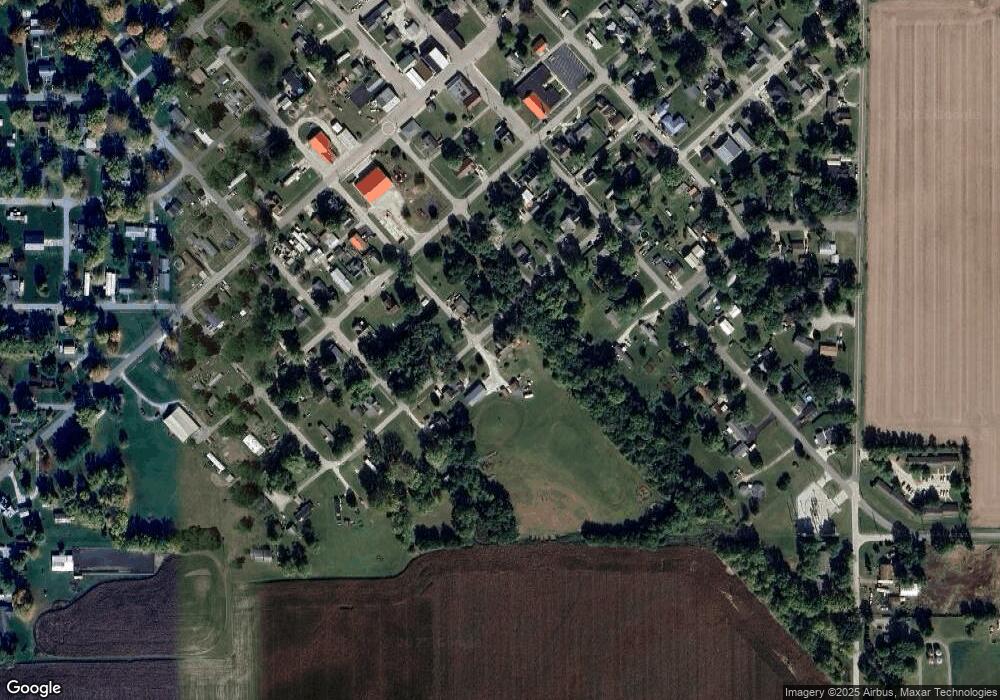
Map
Nearby Homes
- 9315 High St
- 11818 Madison St
- 9305 Main St
- 8900 Cornell Ct
- 9205 Yorktown St
- 7858 E 800 S
- 406 W Linden St
- 304 W Jefferson St
- 404 W Franklin St
- 200 E Park St
- 208 E Midway St
- 504 S Clark St
- 7916 E 700 S
- 4927 E 900 Rd S
- 4875 E 900 Rd S
- 4851 E 900 Rd S
- 4801 E 900 Rd S
- 5778 W County Road 300 S
- 0 S 800 E Unit 202536919
- 5478 W State Road 28
- 9329 Main St
- 11825 Silver St
- 9417 Main St
- 9321 Main St
- 9414 Main St
- 9325 Pearl St
- 11904 Division St
- 11817 Fulton St
- 11900 Division St
- 11824 Park St
- 9317 Pearl St
- 11826 Division St
- 0 Main St Unit 21415944
- 0 Main St Unit 21415941
- 9328 Pearl St
- 9313 Pearl St
- 11816 Division St
- 9320 Pearl St
- 11901 Division St
- 9332 Pearl St