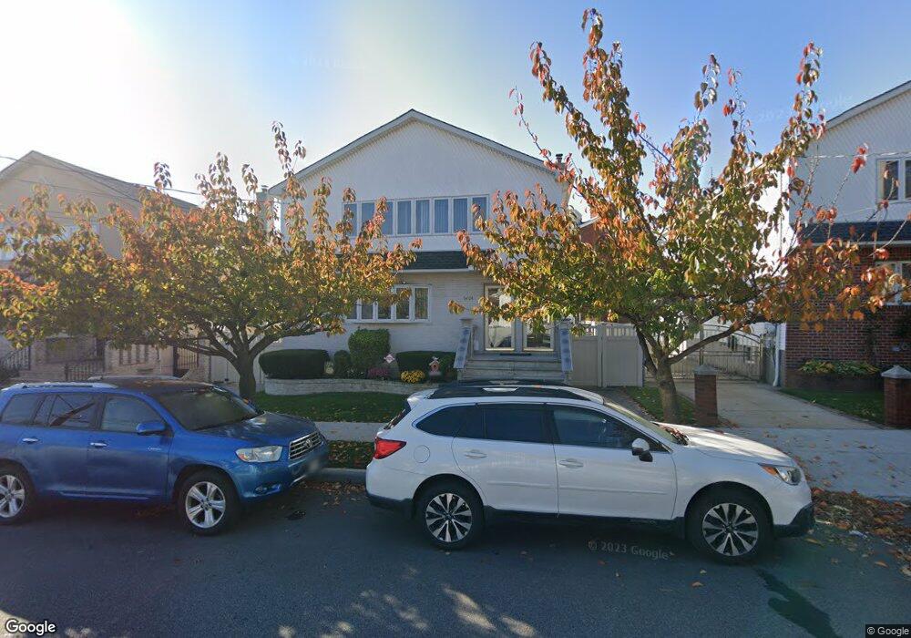
9404 Albert Rd Ozone Park, NY 11417
Ozone Park NeighborhoodEstimated Value: $945,891 - $1,345,000
--
Bed
--
Bath
2,400
Sq Ft
$471/Sq Ft
Est. Value
About This Home
This home is located at 9404 Albert Rd, Ozone Park, NY 11417 and is currently estimated at $1,130,473, approximately $471 per square foot. 9404 Albert Rd is a home located in Queens County with nearby schools including P.S. 63 - Old South, Robert H. Goddard High School, and John Adams High School.
Ownership History
Date
Name
Owned For
Owner Type
Purchase Details
Closed on
Oct 16, 2001
Sold by
Tepedino Frank R and Tepedino Luanne
Bought by
Altura Alfredo F and Altura Leolybeth T
Current Estimated Value
Home Financials for this Owner
Home Financials are based on the most recent Mortgage that was taken out on this home.
Original Mortgage
$462,000
Outstanding Balance
$177,538
Interest Rate
6.64%
Estimated Equity
$952,935
Purchase Details
Closed on
Mar 31, 1997
Sold by
Iron Eagle Mechanical & Contracting Corp
Bought by
Tepedino Frank P and Tepedino Luanne
Create a Home Valuation Report for This Property
The Home Valuation Report is an in-depth analysis detailing your home's value as well as a comparison with similar homes in the area
Home Values in the Area
Average Home Value in this Area
Purchase History
| Date | Buyer | Sale Price | Title Company |
|---|---|---|---|
| Altura Alfredo F | -- | -- | |
| Tepedino Frank P | $330,000 | First American Title Ins Co |
Source: Public Records
Mortgage History
| Date | Status | Borrower | Loan Amount |
|---|---|---|---|
| Open | Altura Alfredo F | $462,000 |
Source: Public Records
Tax History Compared to Growth
Tax History
| Year | Tax Paid | Tax Assessment Tax Assessment Total Assessment is a certain percentage of the fair market value that is determined by local assessors to be the total taxable value of land and additions on the property. | Land | Improvement |
|---|---|---|---|---|
| 2025 | $9,946 | $53,974 | $9,017 | $44,957 |
| 2024 | $9,958 | $50,920 | $10,023 | $40,897 |
| 2023 | $9,367 | $48,038 | $9,420 | $38,618 |
| 2022 | $9,303 | $67,800 | $12,660 | $55,140 |
| 2021 | $9,737 | $60,240 | $12,660 | $47,580 |
| 2020 | $9,225 | $56,340 | $12,660 | $43,680 |
| 2019 | $8,584 | $54,360 | $12,660 | $41,700 |
| 2018 | $7,863 | $40,032 | $16,637 | $23,395 |
| 2017 | $7,861 | $40,032 | $17,324 | $22,708 |
| 2016 | $7,633 | $40,032 | $17,324 | $22,708 |
| 2015 | $4,352 | $37,482 | $20,286 | $17,196 |
| 2014 | $4,352 | $35,361 | $21,563 | $13,798 |
Source: Public Records
Map
Nearby Homes
- 106-38 95th St
- 103-48 96th St
- 10719 96th St
- 92-17 Liberty Ave
- 92-18 Liberty Ave
- 10723 96th St
- 103-47 96th St
- 10333 Woodhaven Blvd
- 107-20 92nd St
- 107-62 93rd St
- 91-08 Liberty Ave
- 93-18 103rd Ave
- 105-11 91st St
- 9426 Sutter Ave
- 9108 Sutter Ave
- 107-50 90th St
- 101-46 95th St
- 10159 92nd St
- 10751 89th St
- 103-50 102nd St
- 9422 Liberty Ave
- 94-22 Liberty Ave
- 9400 Liberty Ave
- 105-05 Cross Bay Blvd
- 9424 Liberty Ave
- 105-09 Cross Bay Blvd
- 10612 95th St
- 10616 95th St
- 106-16 95th St
- 106-25 95th St
- 9504 Liberty Ave
- 10620 95th St
- 106-19 95th St
- 10619 95th St
- 10621 95th St
- 10626 95th St
- 9433 Rockaway Blvd
- 10623 95th St
- 10628 95th St
- 10623 95th St