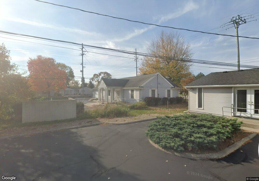
9404 N Sheldon Rd Plymouth, MI 48170
Estimated Value: $707,004
--
Bed
1
Bath
2,000
Sq Ft
$354/Sq Ft
Est. Value
About This Home
This home is located at 9404 N Sheldon Rd, Plymouth, MI 48170 and is currently estimated at $707,004, approximately $353 per square foot. 9404 N Sheldon Rd is a home located in Wayne County with nearby schools including Canton High School, Smith Elementary School, and West Middle School.
Ownership History
Date
Name
Owned For
Owner Type
Purchase Details
Closed on
Apr 29, 2014
Sold by
Dietz Brian C and Dietz Marion E
Bought by
Dental Building Llc
Current Estimated Value
Purchase Details
Closed on
Feb 13, 2012
Sold by
Dietz Brian C and Cox Susan A
Bought by
Dietz Brian C and Dietz Marion E
Purchase Details
Closed on
Feb 1, 2012
Sold by
Dietz Leo
Bought by
Dietz Brian
Purchase Details
Closed on
Sep 21, 1998
Sold by
Dietz Leo E and Dietz Rita
Bought by
Dietz Leo E and Leo E Dietz Revocable Living Trust
Create a Home Valuation Report for This Property
The Home Valuation Report is an in-depth analysis detailing your home's value as well as a comparison with similar homes in the area
Home Values in the Area
Average Home Value in this Area
Purchase History
| Date | Buyer | Sale Price | Title Company |
|---|---|---|---|
| Dental Building Llc | $355,000 | Devon Title Agency | |
| Dietz Brian C | -- | None Available | |
| Dietz Brian | -- | None Available | |
| Dietz Leo E | -- | -- |
Source: Public Records
Tax History Compared to Growth
Tax History
| Year | Tax Paid | Tax Assessment Tax Assessment Total Assessment is a certain percentage of the fair market value that is determined by local assessors to be the total taxable value of land and additions on the property. | Land | Improvement |
|---|---|---|---|---|
| 2025 | $5,617 | $141,900 | $0 | $0 |
| 2024 | $5,617 | $145,500 | $0 | $0 |
| 2023 | $5,352 | $135,000 | $0 | $0 |
| 2022 | $6,238 | $126,700 | $0 | $0 |
| 2021 | $6,061 | $127,500 | $0 | $0 |
| 2019 | $5,866 | $124,530 | $0 | $0 |
| 2018 | $4,615 | $118,520 | $0 | $0 |
| 2017 | $1,806 | $109,500 | $0 | $0 |
| 2016 | $5,340 | $111,600 | $0 | $0 |
| 2015 | $10,821 | $108,210 | $0 | $0 |
| 2013 | $10,084 | $107,700 | $0 | $0 |
| 2012 | -- | $130,080 | $34,880 | $95,200 |
Source: Public Records
Map
Nearby Homes
- 9453 Brookline Ave
- 9264 Brookline Ave
- 9230 Brookline Ave
- 9060 N Sheldon Rd
- 44703 Erin Dr
- 44750 Erin Dr Unit 40
- 9405 Northern Ave
- 1199 S Sheldon Rd Unit 77
- 44736 Lynn Dr
- 44877 Erin Dr Unit 2
- 8876 N Sheldon Rd
- 44872 Lynn Dr
- 8870 Brookline Ave
- 8880 Elmhurst Ave
- 44571 Clare Blvd
- 8845 Oakview St
- 1338 S Harvey St
- 1078 Simpson St
- 0 Joy Rd Unit Parcel 3
- 0 Joy Rd Unit Parcel 2
- 9411 Brookline Ave
- 9314 N Sheldon Rd
- 9315 Brookline Ave
- 9433 Brookline Ave
- 9290 N Sheldon Rd
- 9283 Brookline Ave
- 9445 Brookline Ave
- 9293 Brookline Ave
- 9414 Brookline Ave
- 9263 Brookline Ave
- 9430 Brookline Ave
- 9439 Brookline Ave
- 9314 Brookline Ave
- 9270 N Sheldon Rd Unit Bldg-Unit
- 9270 N Sheldon Rd
- 9284 Brookline Ave
- 9301 N Sheldon Rd
- 9444 Brookline Ave
- 9461 Brookline Ave
- 9260 N Sheldon Rd