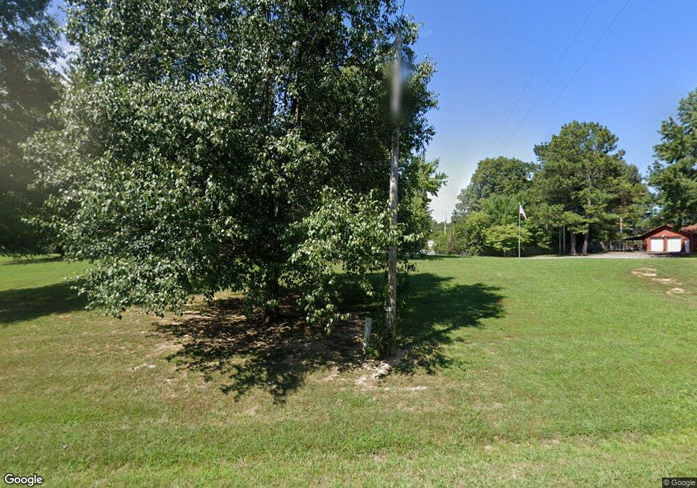
9405 State Route 131 Hickory, KY 42051
Estimated Value: $203,269 - $373,000
--
Bed
--
Bath
3,200
Sq Ft
$91/Sq Ft
Est. Value
About This Home
This home is located at 9405 State Route 131, Hickory, KY 42051 and is currently estimated at $292,090, approximately $91 per square foot. 9405 State Route 131 is a home with nearby schools including Graves County High School and Fulton County High School.
Ownership History
Date
Name
Owned For
Owner Type
Purchase Details
Closed on
Aug 1, 1999
Bought by
Hayden Brian David
Current Estimated Value
Create a Home Valuation Report for This Property
The Home Valuation Report is an in-depth analysis detailing your home's value as well as a comparison with similar homes in the area
Home Values in the Area
Average Home Value in this Area
Purchase History
| Date | Buyer | Sale Price | Title Company |
|---|---|---|---|
| Hayden Brian David | $110,000 | -- |
Source: Public Records
Tax History Compared to Growth
Tax History
| Year | Tax Paid | Tax Assessment Tax Assessment Total Assessment is a certain percentage of the fair market value that is determined by local assessors to be the total taxable value of land and additions on the property. | Land | Improvement |
|---|---|---|---|---|
| 2024 | $928 | $150,000 | $150,000 | $0 |
| 2023 | $621 | $115,000 | $0 | $0 |
| 2022 | $1,057 | $115,000 | $0 | $0 |
| 2021 | $1,068 | $115,000 | $0 | $0 |
| 2020 | $1,072 | $115,000 | $0 | $0 |
| 2019 | $1,057 | $115,000 | $0 | $0 |
| 2018 | $1,038 | $115,000 | $0 | $0 |
| 2017 | $967 | $115,000 | $115,000 | $0 |
| 2016 | $967 | $115,000 | $0 | $0 |
| 2015 | $967 | $115,000 | $115,000 | $0 |
| 2013 | -- | $115,000 | $115,000 | $0 |
Source: Public Records
Map
Nearby Homes
- 10074 State Route 131
- 11112 State Route 131
- 11114 Kentucky 131
- 25 Martha Ln
- 131 Meta Ln
- 100 Symsonia Rd
- 1862 State Route 348 E
- 5948 Kentucky 131
- 000 Housman Rd
- 5934 Wadesboro Rd N
- 7026 Symsonia Hwy
- 615 Wadesboro Rd
- 1818 Oak Level Elva Rd
- 315 Dunaway Ln
- 1591 State Route 994
- 2637 Kentucky 994
- 1615 Powers Rd
- 1615 Powers Rd Unit (McCracken Co. 32.02
- 8950 Old Mayfield Rd
- 1630 Powers Rd
- 9412 State Route 131
- 466 Clarks River Cemetery Rd
- 427 Clarks River Cemetery Rd
- 309 Clarks River Cemetery Rd
- 9570 State Route 131
- 332 Clarks River Cemetery Rd
- 9312 State Route 131
- 563 Clarks River Cemetery Rd
- 644 Clarks River Cemetery Rd
- 254 Clarks River Cemetery Rd
- 151 Kaler Mill Rd
- 9626 State Route 131
- 165 Clarks River Cemetery Rd
- 299 Kaler Mill Rd
- 279 Kaler Mill Rd
- 9145 State Route 131
- 00 Kaler Mill Rd
- 329 Kaler Mill Rd
- 4466 Tim Rd
- 117 Clarks River Cemetery Rd
