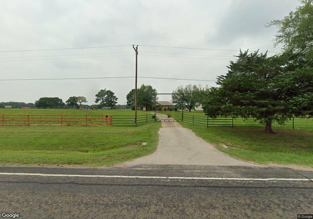
9408 Fm 59 Athens, TX 75751
Estimated Value: $313,000 - $513,932
3
Beds
2
Baths
2,037
Sq Ft
$187/Sq Ft
Est. Value
About This Home
This home is located at 9408 Fm 59, Athens, TX 75751 and is currently estimated at $380,311, approximately $186 per square foot. 9408 Fm 59 is a home located in Henderson County with nearby schools including Cross Roads J High School.
Ownership History
Date
Name
Owned For
Owner Type
Purchase Details
Closed on
Sep 30, 2020
Sold by
Holland Timothy Edward and Holland Karen Renee
Bought by
Smith Robert and Smith Cindy
Current Estimated Value
Home Financials for this Owner
Home Financials are based on the most recent Mortgage that was taken out on this home.
Original Mortgage
$213,750
Outstanding Balance
$152,297
Interest Rate
2.5%
Mortgage Type
New Conventional
Estimated Equity
$228,014
Purchase Details
Closed on
Nov 27, 2019
Sold by
Holland Timothy Edward and Holland Karen Renee
Bought by
Beasley Darryl and Beasley Lisa
Purchase Details
Closed on
Jul 3, 1984
Bought by
Cribbs Eddie A
Create a Home Valuation Report for This Property
The Home Valuation Report is an in-depth analysis detailing your home's value as well as a comparison with similar homes in the area
Home Values in the Area
Average Home Value in this Area
Purchase History
| Date | Buyer | Sale Price | Title Company |
|---|---|---|---|
| Smith Robert | -- | Colonial Title Company | |
| Beasley Darryl | -- | Colonial Title Company | |
| Cribbs Eddie A | -- | -- |
Source: Public Records
Mortgage History
| Date | Status | Borrower | Loan Amount |
|---|---|---|---|
| Open | Smith Robert | $213,750 |
Source: Public Records
Tax History Compared to Growth
Tax History
| Year | Tax Paid | Tax Assessment Tax Assessment Total Assessment is a certain percentage of the fair market value that is determined by local assessors to be the total taxable value of land and additions on the property. | Land | Improvement |
|---|---|---|---|---|
| 2025 | $4,818 | $432,096 | -- | -- |
| 2024 | $4,818 | $409,328 | $0 | $0 |
| 2023 | $4,572 | $324,175 | $0 | $0 |
| 2022 | $4,491 | $356,590 | $127,450 | $229,140 |
| 2021 | $4,300 | $236,840 | $71,540 | $165,300 |
| 2020 | $3,854 | $215,890 | $71,540 | $144,350 |
| 2019 | $3,995 | $209,660 | $83,360 | $126,300 |
| 2018 | $3,737 | $190,780 | $74,210 | $116,570 |
| 2017 | $304 | $72,200 | $3,240 | $68,960 |
| 2016 | $1,378 | $72,200 | $3,240 | $68,960 |
| 2015 | $24 | $72,200 | $3,240 | $68,960 |
| 2014 | $23 | $72,200 | $3,240 | $68,960 |
Source: Public Records
Map
Nearby Homes
- 908 Sycamore St
- 910 Sycamore St
- 8970 Fm 59
- 0 Tr 3 Cr 41514
- 0 Hwy 175 E Unit 24758232
- 0 Hwy 175 E Unit 20888897
- 0 Tbd Cr 41514
- TR 4 Cr 41514
- 1081 Pearl Harbor St
- 000 Cr 1500
- TBD Cr 41514
- Tract 1 000 Cr 1500
- TR 3 Cr 41514
- Tract 2 000 Cr 1500
- 25119 US Highway 287
- 6385 Wagontree Trail
- 7429 Land Grant Trail
- 306 Brentwood Dr