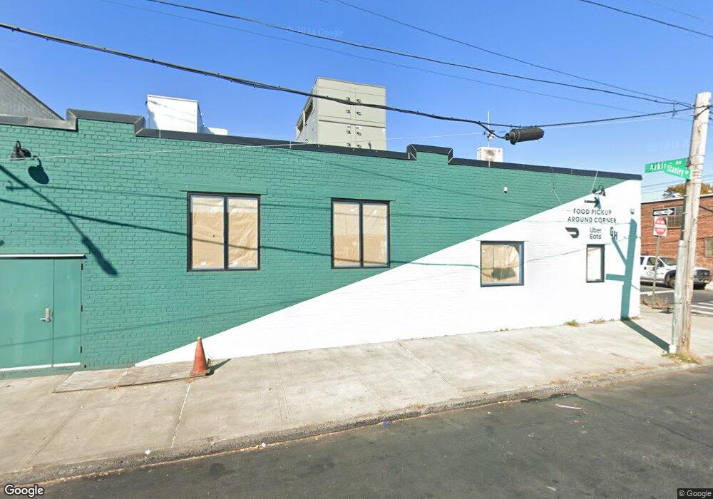
941-959 Stanley Ave Brooklyn, NY 11208
East New York NeighborhoodEstimated Value: $2,504,050
Studio
--
Bath
7,400
Sq Ft
$338/Sq Ft
Est. Value
About This Home
This home is located at 941-959 Stanley Ave, Brooklyn, NY 11208 and is currently estimated at $2,504,050, approximately $338 per square foot. 941-959 Stanley Ave is a home located in Kings County with nearby schools including P.S. 224 Hale A Woodruff, Van Siclen Community Middle School, and Our World Neighborhood Charter School 2.
Ownership History
Date
Name
Owned For
Owner Type
Purchase Details
Closed on
Dec 20, 2021
Sold by
Bright Stars Llc
Bought by
616 Atkins Ave Brk Llc
Current Estimated Value
Purchase Details
Closed on
Aug 26, 2009
Sold by
Scaminaci Peter L
Bought by
Bright Stars Llc
Home Financials for this Owner
Home Financials are based on the most recent Mortgage that was taken out on this home.
Original Mortgage
$700,000
Interest Rate
5.28%
Mortgage Type
Commercial
Purchase Details
Closed on
Jul 28, 2006
Sold by
Hultin Frances and Scaminaci Peter L
Bought by
Scaminaci Peter L
Home Financials for this Owner
Home Financials are based on the most recent Mortgage that was taken out on this home.
Original Mortgage
$550,000
Interest Rate
6.8%
Mortgage Type
Commercial
Create a Home Valuation Report for This Property
The Home Valuation Report is an in-depth analysis detailing your home's value as well as a comparison with similar homes in the area
Home Values in the Area
Average Home Value in this Area
Purchase History
| Date | Buyer | Sale Price | Title Company |
|---|---|---|---|
| 616 Atkins Ave Brk Llc | $2,240,000 | -- | |
| 616 Atkins Ave Brk Llc | $2,240,000 | -- | |
| Bright Stars Llc | $875,000 | -- | |
| Bright Stars Llc | $875,000 | -- | |
| Scaminaci Peter L | $400,000 | -- | |
| Scaminaci Peter L | $400,000 | -- |
Source: Public Records
Mortgage History
| Date | Status | Borrower | Loan Amount |
|---|---|---|---|
| Previous Owner | Bright Stars Llc | $700,000 | |
| Previous Owner | Scaminaci Peter L | $200,000 | |
| Previous Owner | Scaminaci Peter L | $550,000 |
Source: Public Records
Tax History
| Year | Tax Paid | Tax Assessment Tax Assessment Total Assessment is a certain percentage of the fair market value that is determined by local assessors to be the total taxable value of land and additions on the property. | Land | Improvement |
|---|---|---|---|---|
| 2025 | $33,107 | $363,600 | $66,600 | $297,000 |
| 2024 | $33,107 | $357,300 | $66,600 | $290,700 |
| 2023 | $31,524 | $337,050 | $66,600 | $270,450 |
| 2022 | $30,598 | $307,800 | $66,600 | $241,200 |
| 2021 | $26,660 | $249,300 | $66,600 | $182,700 |
| 2020 | $15,094 | $311,400 | $66,600 | $244,800 |
| 2019 | $28,568 | $305,550 | $66,600 | $238,950 |
| 2018 | $26,789 | $279,000 | $66,600 | $212,400 |
| 2017 | $25,463 | $277,200 | $66,600 | $210,600 |
| 2016 | $24,057 | $248,400 | $66,600 | $181,800 |
| 2015 | $12,890 | $248,400 | $66,600 | $181,800 |
| 2014 | $12,890 | $220,950 | $66,600 | $154,350 |
Source: Public Records
Map
Nearby Homes
- 517 Milford St
- 956 Hegeman Ave
- 846 Stanley Ave
- 963 Hegeman Ave
- 477 Milford St
- 479 Milford St
- 878 Euclid Ave
- 864 Euclid Ave
- 933 Cleveland St
- 929 Cleveland St
- 738 Shepherd Ave
- 461 Milford St
- 459 Berriman St
- 865 Euclid Ave
- 819 Ashford St
- 393 Montauk Ave
- 958 Crescent St
- 1020 Elton St Unit 18
- 1008 Crescent St
- 941 Crescent St
- 620 Atkins Ave
- 602-612 Atkins Ave
- 965 Stanley Ave
- 613-619 Berriman St
- 613 Atkins Ave
- 633-643 Berriman St
- 598-622 Atkins Ave
- 587 Atkins Ave
- 971-987 Stanley Ave
- 595-611 Berriman St
- 595 Berriman St
- 638 Atkins Ave
- 590-596 Atkins Ave
- 590 Atkins Ave
- 580 Montauk Ave
- 578 Montauk Ave
- 560 Montauk Ave
- 933-939 Stanley Ave
- 645 Berriman St
- 640 Atkins Ave
Your Personal Tour Guide
Ask me questions while you tour the home.