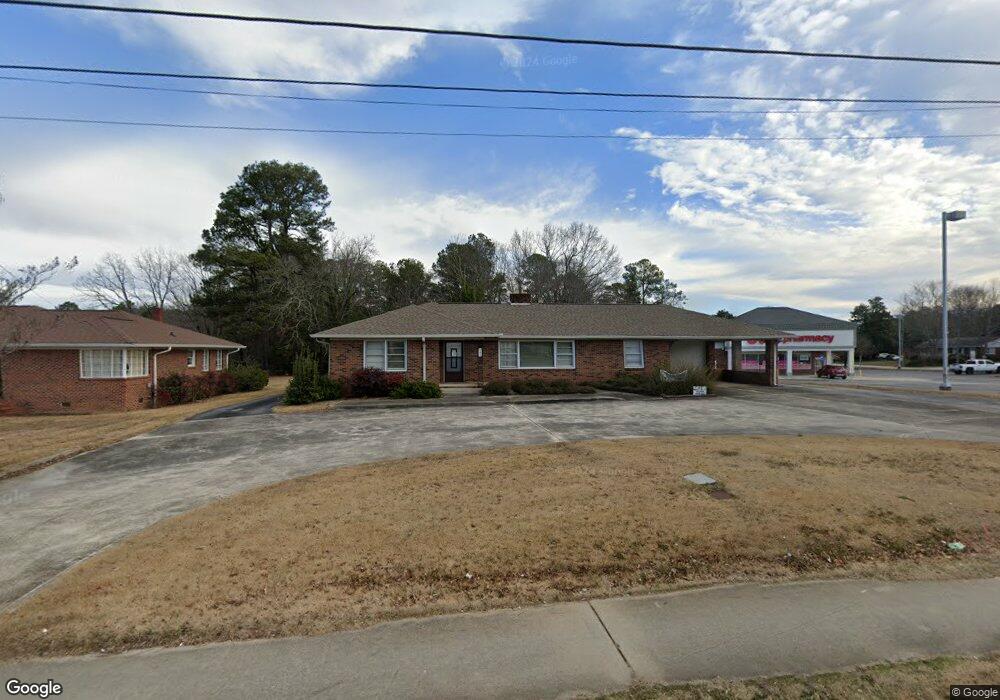
941 Big a Rd Unit 3 PT LT 2 Toccoa, GA 30577
Estimated Value: $441,575
--
Bed
--
Bath
1,840
Sq Ft
$240/Sq Ft
Est. Value
About This Home
This home is located at 941 Big a Rd Unit 3 PT LT 2, Toccoa, GA 30577 and is currently estimated at $441,575, approximately $239 per square foot. 941 Big a Rd Unit 3 PT LT 2 is a home located in Stephens County with nearby schools including Stephens County High School.
Ownership History
Date
Name
Owned For
Owner Type
Purchase Details
Closed on
Oct 31, 2022
Sold by
Bramlett Joyce W
Bought by
Carpe Diem Investments Llc
Current Estimated Value
Purchase Details
Closed on
Sep 9, 2016
Sold by
Erwin Janice J Liv Trust
Bought by
Bramlett Joyce W
Purchase Details
Closed on
Aug 19, 2008
Sold by
Not Provided
Bought by
Erwin Janice Jones
Purchase Details
Closed on
Mar 5, 2008
Sold by
Erwin Janice Jones
Bought by
Erwin Janice Jones
Purchase Details
Closed on
Aug 1, 1986
Bought by
<Buyer Info Not Present>
Create a Home Valuation Report for This Property
The Home Valuation Report is an in-depth analysis detailing your home's value as well as a comparison with similar homes in the area
Home Values in the Area
Average Home Value in this Area
Purchase History
| Date | Buyer | Sale Price | Title Company |
|---|---|---|---|
| Carpe Diem Investments Llc | $350,000 | -- | |
| Bramlett Joyce W | $110,000 | -- | |
| Erwin Janice Jones | -- | -- | |
| Erwin Janice Jones | -- | -- | |
| Erwin Janice Jones | -- | -- | |
| <Buyer Info Not Present> | $80,000 | -- |
Source: Public Records
Tax History Compared to Growth
Tax History
| Year | Tax Paid | Tax Assessment Tax Assessment Total Assessment is a certain percentage of the fair market value that is determined by local assessors to be the total taxable value of land and additions on the property. | Land | Improvement |
|---|---|---|---|---|
| 2024 | $3,348 | $93,912 | $60,860 | $33,052 |
| 2023 | $2,860 | $93,912 | $60,860 | $33,052 |
| 2022 | $2,135 | $71,733 | $60,860 | $10,873 |
| 2021 | $2,243 | $71,733 | $60,860 | $10,873 |
| 2020 | $2,265 | $71,733 | $60,860 | $10,873 |
| 2019 | $2,275 | $71,733 | $60,860 | $10,873 |
| 2018 | $2,275 | $71,733 | $60,860 | $10,873 |
| 2017 | $1,417 | $71,733 | $60,860 | $10,873 |
| 2016 | $2,288 | $72,150 | $60,859 | $11,290 |
| 2015 | $2,405 | $72,413 | $60,859 | $11,553 |
| 2014 | $2,611 | $77,344 | $61,880 | $15,464 |
| 2013 | -- | $77,960 | $61,880 | $16,080 |
Source: Public Records
Map
Nearby Homes
- 0 Hwy 17 Alt Unit 10577119
- 229 Hilltop Ln
- 59 Sunset Ln
- 253 Stancil Dr
- 110 Valley Rd
- 45 Hayes St
- 278 Stancil Dr
- 294 Stancil Dr
- 249 Hillcrest Dr
- 297 Ayers Creek Dr
- 327 Ayers Creek Dr
- 405 Ayers Creek Dr
- 226 Poplar St
- 0 Valley Dr Unit 7675761
- 0 Valley Dr Unit 10600268
- 490 Addington Dr
- 148 Moreland Dr
- 0 Moreland Dr Unit 10565201
- 30 Moore Ave
- 1222 E Tugalo St