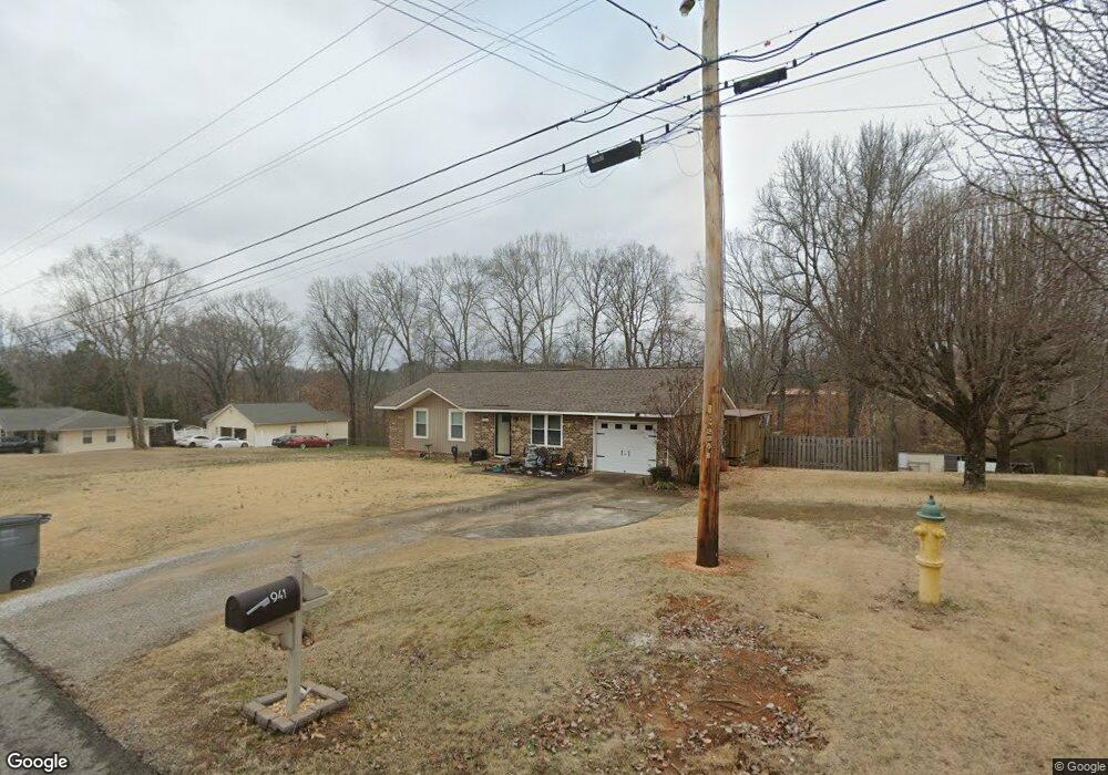
941 Joan Ln Killen, AL 35645
Killen AreaEstimated Value: $164,000 - $174,000
About This Home
This home is located at 941 Joan Ln, Killen, AL 35645 and is currently estimated at $168,748, approximately $144 per square foot. 941 Joan Ln is a home located in Lauderdale County with nearby schools including Brooks Elementary School and Underwood Elementary School.
Ownership History
We collect this data history from publicly available records. To have your information removed, we recommend requesting removal directly through your county’s website.
Purchase Details
Purchase Details
Home Financials for this Owner
Home Financials are based on the most recent Mortgage that was taken out on this home.Purchase Details
Home Values in the Area
Average Home Value in this Area
Purchase History
We collect this data history from publicly available records. To have your information removed, we recommend requesting removal directly through your county’s website.
| Date | Buyer | Sale Price | Title Company |
|---|---|---|---|
| -- | -- | ||
| -- | -- | ||
| -- | -- |
Mortgage History
We collect this data history from publicly available records. To have your information removed, we recommend requesting removal directly through your county’s website.
| Date | Status | Borrower | Loan Amount |
|---|---|---|---|
| Previous Owner | $52,865 |
Tax History
We collect this data history from publicly available records. To have your information removed, we recommend requesting removal directly through your county’s website.
| Year | Tax Paid | Tax Assessment Tax Assessment Total Assessment is a certain percentage of the fair market value that is determined by local assessors to be the total taxable value of land and additions on the property. | Land | Improvement |
|---|---|---|---|---|
| 2025 | $357 | $10,120 | $0 | $0 |
| 2024 | $342 | $9,740 | $620 | $9,120 |
| 2023 | $392 | $580 | $580 | $0 |
| 2022 | $316 | $7,880 | $0 | $0 |
| 2021 | $280 | $7,000 | $0 | $0 |
| 2020 | $274 | $6,860 | $0 | $0 |
| 2019 | $259 | $6,500 | $0 | $0 |
| 2018 | $230 | $5,800 | $0 | $0 |
| 2017 | $220 | $5,560 | $0 | $0 |
| 2016 | $220 | $5,560 | $0 | $0 |
| 2015 | $220 | $5,560 | $0 | $0 |
| 2014 | $224 | $5,640 | $0 | $0 |
Map
- 00 Highway 72
- 335 Shoreline Dr
- 318 Shaler Dr
- 2100 Highway 72
- 58 Cole Creek Cove
- 327 Heron Cove Rd
- 305 Heron Cove Rd
- 88 Cole Creek Cove
- 0 County Road 465
- lot 21 Lingerlost Rd
- 132 Cole Creek Cove
- 668 Lingerlost Rd
- 8235 County Road 25
- 00 County Road 25
- 0 Locke Six Rd Unit LOT 18 516792
- 000 Locke Six Rd Unit Lot 80
- 000 Locke Six Rd Unit Lot 69
- 000 Locke Six Rd Unit Lot 46
- 000 Locke Six Rd Unit Lot 19
- 000 Locke Six Rd Unit 45
Ask me questions while you tour the home.