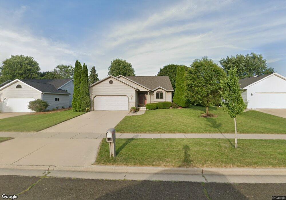
941 N Thompson Rd Sun Prairie, WI 53590
Westwynde NeighborhoodEstimated Value: $357,986 - $435,000
3
Beds
2
Baths
1,044
Sq Ft
$381/Sq Ft
Est. Value
About This Home
This home is located at 941 N Thompson Rd, Sun Prairie, WI 53590 and is currently estimated at $397,997, approximately $381 per square foot. 941 N Thompson Rd is a home located in Dane County with nearby schools including Royal Oaks Elementary School, Prairie View Middle School, and Peace Lutheran School & Prekindergarten.
Ownership History
Date
Name
Owned For
Owner Type
Purchase Details
Closed on
Jun 22, 2010
Sold by
Pisczor Melissa Diane Wilson
Bought by
Wilson Kenneth Arthur
Current Estimated Value
Purchase Details
Closed on
Jun 13, 2005
Sold by
Chitwood John C and Chitwood Stephanie R
Bought by
Wilson Melissa Diane and Wilson Kenneth A
Home Financials for this Owner
Home Financials are based on the most recent Mortgage that was taken out on this home.
Original Mortgage
$179,900
Interest Rate
5.82%
Mortgage Type
New Conventional
Create a Home Valuation Report for This Property
The Home Valuation Report is an in-depth analysis detailing your home's value as well as a comparison with similar homes in the area
Home Values in the Area
Average Home Value in this Area
Purchase History
| Date | Buyer | Sale Price | Title Company |
|---|---|---|---|
| Wilson Kenneth Arthur | $107,900 | None Available | |
| Wilson Melissa Diane | $209,900 | None Available |
Source: Public Records
Mortgage History
| Date | Status | Borrower | Loan Amount |
|---|---|---|---|
| Previous Owner | Wilson Melissa Diane | $179,900 |
Source: Public Records
Tax History Compared to Growth
Tax History
| Year | Tax Paid | Tax Assessment Tax Assessment Total Assessment is a certain percentage of the fair market value that is determined by local assessors to be the total taxable value of land and additions on the property. | Land | Improvement |
|---|---|---|---|---|
| 2024 | $5,304 | $284,200 | $70,600 | $213,600 |
| 2023 | $4,796 | $284,200 | $70,600 | $213,600 |
| 2021 | $5,142 | $248,700 | $64,100 | $184,600 |
| 2020 | $5,284 | $248,700 | $64,100 | $184,600 |
| 2019 | $5,249 | $219,700 | $58,300 | $161,400 |
| 2018 | $4,867 | $219,700 | $58,300 | $161,400 |
| 2017 | $4,683 | $219,700 | $58,300 | $161,400 |
| 2016 | $4,581 | $194,900 | $53,000 | $141,900 |
| 2015 | $4,453 | $194,900 | $53,000 | $141,900 |
| 2014 | $4,561 | $198,200 | $53,000 | $145,200 |
| 2013 | $4,620 | $198,200 | $53,000 | $145,200 |
Source: Public Records
Map
Nearby Homes
- 2272 Effingham Way
- 1869 Saint Albert the Great Dr
- 1822 Cobblestone Ct
- 2367 Effingham Way Unit 2367
- 2391 Effingham Way Unit 2391
- 1847 Windemere Ct
- 1234 Kerry Dr
- 643 Eddington Dr
- 1824 Chadsworth Dr
- 1801 Frawley Dr
- 1792 Frawley Dr
- 2260 Lonnie Ln
- 2316 Lonnie Ln
- 960 Bruce St
- 1406 Greenleaf Ct
- 1417 Serenity
- 1468 Serenity Ct
- 1452 Serenity Ct
- Lot 11 Serenity Ct
- 1841 Waverly Way
- 959 N Thompson Rd
- 923 N Thompson Rd
- 962 Kimberton Ct
- 944 Kimberton Ct
- 971 N Thompson Rd
- 905 N Thompson Rd
- 2252 Essex Dr
- 976 Kimberton Ct
- 987 N Thompson Rd
- 931 Kimberton Ct
- 2312 Brighton Dr
- 2228 Essex Dr
- 999 N Thompson Rd
- 998 Kimberton Ct
- 2320 Brighton Dr
- 943 Kimberton Ct
- 2188 Essex Dr
- 1007 Bethany Ct
- 957 Kimberton Ct
- 1011 N Thompson Rd