941 Normandy Trace Rd Tampa, FL 33602
Harbour Island NeighborhoodEstimated Value: $313,370 - $384,000
1
Bed
1
Bath
815
Sq Ft
$429/Sq Ft
Est. Value
About This Home
This home is located at 941 Normandy Trace Rd, Tampa, FL 33602 and is currently estimated at $349,343, approximately $428 per square foot. 941 Normandy Trace Rd is a home located in Hillsborough County with nearby schools including Gorrie Elementary School, Wilson Middle School, and Plant High School.
Ownership History
Date
Name
Owned For
Owner Type
Purchase Details
Closed on
Apr 30, 2025
Sold by
Stokking Brenda
Bought by
Stokking Brenda and Stokking Steven
Current Estimated Value
Purchase Details
Closed on
Dec 10, 2001
Sold by
Harbour Place Dev
Bought by
Norton Robert C
Home Financials for this Owner
Home Financials are based on the most recent Mortgage that was taken out on this home.
Original Mortgage
$102,300
Interest Rate
6.6%
Mortgage Type
New Conventional
Create a Home Valuation Report for This Property
The Home Valuation Report is an in-depth analysis detailing your home's value as well as a comparison with similar homes in the area
Home Values in the Area
Average Home Value in this Area
Purchase History
| Date | Buyer | Sale Price | Title Company |
|---|---|---|---|
| Stokking Brenda | -- | None Listed On Document | |
| Norton Robert C | $127,900 | -- |
Source: Public Records
Mortgage History
| Date | Status | Borrower | Loan Amount |
|---|---|---|---|
| Previous Owner | Norton Robert C | $96,400 | |
| Previous Owner | Norton Robert C | $102,300 |
Source: Public Records
Tax History Compared to Growth
Tax History
| Year | Tax Paid | Tax Assessment Tax Assessment Total Assessment is a certain percentage of the fair market value that is determined by local assessors to be the total taxable value of land and additions on the property. | Land | Improvement |
|---|---|---|---|---|
| 2024 | $1,118 | $101,622 | -- | -- |
| 2023 | $1,069 | $98,662 | $0 | $0 |
| 2022 | $1,021 | $95,788 | $0 | $0 |
| 2021 | $994 | $92,998 | $0 | $0 |
| 2020 | $977 | $91,714 | $0 | $0 |
| 2019 | $947 | $89,652 | $0 | $0 |
| 2018 | $933 | $87,980 | $0 | $0 |
| 2017 | $984 | $161,579 | $0 | $0 |
| 2016 | $946 | $84,398 | $0 | $0 |
| 2015 | $930 | $83,811 | $0 | $0 |
| 2014 | $898 | $83,146 | $0 | $0 |
| 2013 | -- | $81,917 | $0 | $0 |
Source: Public Records
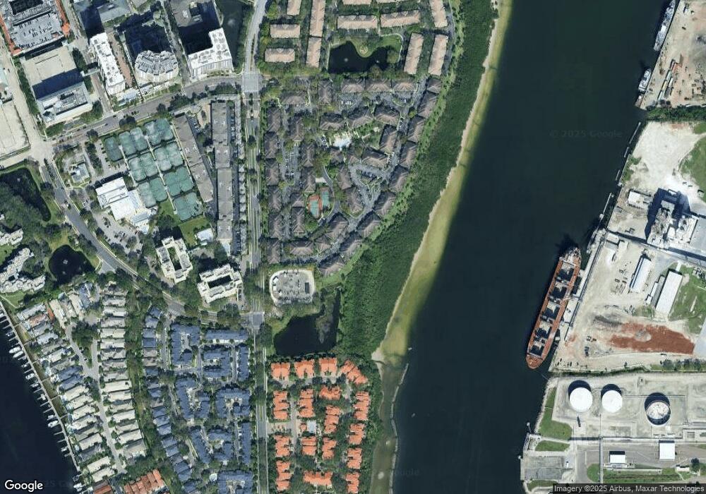
Map
Nearby Homes
- 820 Normandy Trace Rd Unit 820
- 611 Arbor Lake Ln
- 501 Knights Run Ave Unit 5102
- 501 Knights Run Ave Unit 1317
- 501 Knights Run Ave Unit 2119
- 501 Knights Run Ave Unit 6104
- 501 Knights Run Ave Unit 1335
- 501 Knights Run Ave Unit 2106
- 501 Knights Run Ave Unit 1203
- 501 Knights Run Ave Unit 1215
- 612 Arbor Lake Ln
- 664 Arbor Lake Ln
- 1108 Shipwatch Cir
- 775 Mainsail Dr Unit 775
- 773 Mainsail Dr
- 1179 Shipwatch Cir
- 305 Sea Island Way
- 603 Fathom Ct
- 716 Promenade Place Unit 8716
- 450 Knights Run Ave Unit 705
- 939 Normandy Trace Rd
- 937 Normandy Trace Rd
- 937 Normandy Trace Rd
- 937 Normandy Trace Rd
- 935 Normandy Trace Rd
- 945 Normandy Trace Rd Unit 17945
- 933 Normandy Trace Rd Unit 933
- 933 Normandy Trace Rd Unit 17933
- 943 Normandy Trace Rd
- 926 Normandy Trace Rd
- 924 Normandy Trace Rd Unit 15924
- 922 Normandy Trace Rd Unit 922
- 922 Normandy Trace Rd
- 922 Normandy Trace Rd Unit 15
- 820 Island Walk Dr Unit 15-820
- 820 Island Walk Dr
- 928 Normandy Trace Rd
- 928 Normandy Trace Rd
- 930 Normandy Trace Rd
- 920 Normandy Trace Rd