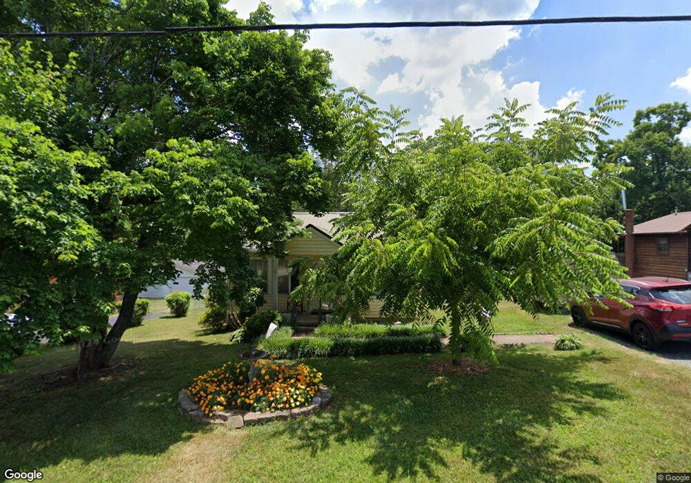
941 Robbins St Asheboro, NC 27203
Estimated Value: $120,448 - $190,000
--
Bed
1
Bath
806
Sq Ft
$199/Sq Ft
Est. Value
About This Home
This home is located at 941 Robbins St, Asheboro, NC 27203 and is currently estimated at $160,362, approximately $198 per square foot. 941 Robbins St is a home located in Randolph County with nearby schools including Donna L. Loflin Elementary School, South Asheboro Middle School, and Asheboro High School.
Ownership History
Date
Name
Owned For
Owner Type
Purchase Details
Closed on
Sep 7, 2012
Sold by
Ingle Judy Gillis and Gillis Judy K
Bought by
Ingle Lary Ray and Gillis Ingle Judy
Current Estimated Value
Purchase Details
Closed on
Jun 29, 1993
Bought by
Ingle Larry Rayingle Judy Gillis
Purchase Details
Closed on
Apr 29, 1991
Bought by
Ingle Larry Rayingle Judy Gillis
Create a Home Valuation Report for This Property
The Home Valuation Report is an in-depth analysis detailing your home's value as well as a comparison with similar homes in the area
Home Values in the Area
Average Home Value in this Area
Purchase History
| Date | Buyer | Sale Price | Title Company |
|---|---|---|---|
| Ingle Lary Ray | -- | None Available | |
| Ingle Larry Rayingle Judy Gillis | $46,000 | -- | |
| Ingle Larry Rayingle Judy Gillis | $36,500 | -- |
Source: Public Records
Tax History Compared to Growth
Tax History
| Year | Tax Paid | Tax Assessment Tax Assessment Total Assessment is a certain percentage of the fair market value that is determined by local assessors to be the total taxable value of land and additions on the property. | Land | Improvement |
|---|---|---|---|---|
| 2025 | $1,357 | $102,420 | $26,350 | $76,070 |
| 2024 | $1,357 | $102,420 | $26,350 | $76,070 |
| 2023 | $1,357 | $102,420 | $26,350 | $76,070 |
| 2022 | $1,023 | $70,940 | $19,670 | $51,270 |
| 2021 | $1,023 | $70,940 | $19,670 | $51,270 |
| 2020 | $1,008 | $69,950 | $19,670 | $50,280 |
| 2019 | $1,008 | $69,950 | $19,670 | $50,280 |
| 2018 | $834 | $56,850 | $21,810 | $35,040 |
| 2016 | $834 | $56,852 | $21,810 | $35,042 |
| 2015 | $836 | $56,852 | $21,810 | $35,042 |
| 2014 | -- | $56,852 | $21,810 | $35,042 |
Source: Public Records
Map
Nearby Homes
- 1037 Robbins St
- 737 Britt Ave
- 828 Windermere Ct
- 960 Lee St
- 855 Lee St
- 806 Windermere Ct
- 617 Uwharrie St Unit N
- 631 W Kivett St
- 627 Lee St
- 401 Uwharrie St
- 211 Armfield Ave
- 209 Armfield Ave
- 7808 State Highway 49
- 272 Cheyenne Cir
- 724 Sherwood Rd
- 922 S Cox St
- 135 Dixon St
- 811 Sherwood Ave
- 1427 S Fayetteville St
- 135 West St