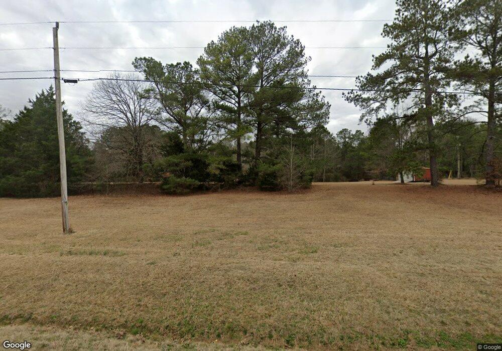
941 Westbrooks Rd Forsyth, GA 31029
Estimated Value: $134,480 - $344,000
Studio
1
Bath
1,120
Sq Ft
$214/Sq Ft
Est. Value
About This Home
This home is located at 941 Westbrooks Rd, Forsyth, GA 31029 and is currently estimated at $239,240, approximately $213 per square foot. 941 Westbrooks Rd is a home located in Monroe County with nearby schools including Katherine B. Sutton Elementary School and Mary Persons High School.
Ownership History
Date
Name
Owned For
Owner Type
Purchase Details
Closed on
Feb 3, 2003
Sold by
Hill Larry E
Bought by
Hill Alvin Billy
Current Estimated Value
Purchase Details
Closed on
Nov 20, 1997
Sold by
Suddeth Melvin L and Patricia Ann
Bought by
Hill Alvin Billy and Hill Larry E
Purchase Details
Closed on
Jul 20, 1992
Sold by
Layman Earmel R and Layman Roslyn
Bought by
Suddeth Melvin L and Patricia Ann
Create a Home Valuation Report for This Property
The Home Valuation Report is an in-depth analysis detailing your home's value as well as a comparison with similar homes in the area
Home Values in the Area
Average Home Value in this Area
Purchase History
| Date | Buyer | Sale Price | Title Company |
|---|---|---|---|
| Hill Alvin Billy | -- | -- | |
| Hill Alvin Billy | $20,000 | -- | |
| Suddeth Melvin L | $16,900 | -- |
Source: Public Records
Tax History
| Year | Tax Paid | Tax Assessment Tax Assessment Total Assessment is a certain percentage of the fair market value that is determined by local assessors to be the total taxable value of land and additions on the property. | Land | Improvement |
|---|---|---|---|---|
| 2025 | $664 | $35,600 | $16,120 | $19,480 |
| 2024 | $664 | $35,000 | $16,120 | $18,880 |
| 2023 | $621 | $31,960 | $16,120 | $15,840 |
| 2022 | $540 | $31,960 | $16,120 | $15,840 |
| 2021 | $559 | $31,960 | $16,120 | $15,840 |
| 2020 | $482 | $28,760 | $12,920 | $15,840 |
| 2019 | $485 | $28,760 | $12,920 | $15,840 |
| 2018 | $487 | $28,760 | $12,920 | $15,840 |
| 2017 | $836 | $28,760 | $12,920 | $15,840 |
| 2016 | $463 | $28,760 | $12,920 | $15,840 |
| 2015 | $523 | $31,960 | $16,120 | $15,840 |
| 2014 | $505 | $31,960 | $16,120 | $15,840 |
Source: Public Records
Map
Nearby Homes
- 739 Westbrooks Rd
- 188 Tyler Dr
- 412 Towaliga Trail
- 49 Stokes Store Rd
- LOT 48 Stokes Store Rd
- 114 Tee Dr
- 2762 Boxankle Rd
- 2762 Rd
- 303 Tuxedo Cir
- 2764 Boxankle Rd
- 2778 Boxankle Lot 9 Rd
- 2778 Boxankle Rd
- 0 Garr Rd Unit 10439858
- 205 Chastain Dr
- 130 Heights Ave
- 120 Heights Ave
- 118 Heights Ave
- 116 Heights Ave
- 200 Tuxedo Cir
- 103 Ranch Cir
- 929 Westbrooks Rd
- 945 Westbrooks Rd
- 851 Westbrooks Rd
- 881 Westbrooks Rd
- 831 Westbrooks Rd
- 848 Westbrooks Rd
- 529 Weldon Rd
- 781 Westbrooks Rd
- 607 Weldon Rd
- 578 Weldon Rd
- 138 Towaliga Rd
- 799 Westbrooks Rd
- 687 Weldon Rd
- 693 Weldon Rd
- 10 Towaliga Rd
- 725 Weldon Rd
- 741 Weldon Rd
- 31 Towaliga Rd
- 678 Weldon Rd
- 403 Weldon Rd
Your Personal Tour Guide
Ask me questions while you tour the home.