941 Wilson Rd Elsberry, MO 63343
Estimated Value: $210,835 - $433,000
3
Beds
1
Bath
1,232
Sq Ft
$260/Sq Ft
Est. Value
About This Home
This home is located at 941 Wilson Rd, Elsberry, MO 63343 and is currently estimated at $320,709, approximately $260 per square foot. 941 Wilson Rd is a home with nearby schools including Clarence Cannon Elementary School, Ida Cannon Middle School, and Elsberry High School.
Ownership History
Date
Name
Owned For
Owner Type
Purchase Details
Closed on
Sep 15, 2020
Sold by
Taylor Roger Dale
Bought by
Mooney Michael Allen
Current Estimated Value
Home Financials for this Owner
Home Financials are based on the most recent Mortgage that was taken out on this home.
Original Mortgage
$28,000
Outstanding Balance
$21,028
Interest Rate
5.37%
Mortgage Type
New Conventional
Estimated Equity
$299,681
Create a Home Valuation Report for This Property
The Home Valuation Report is an in-depth analysis detailing your home's value as well as a comparison with similar homes in the area
Purchase History
| Date | Buyer | Sale Price | Title Company |
|---|---|---|---|
| Mooney Michael Allen | -- | Meyer Title Co |
Source: Public Records
Mortgage History
| Date | Status | Borrower | Loan Amount |
|---|---|---|---|
| Open | Mooney Michael Allen | $28,000 |
Source: Public Records
Tax History
| Year | Tax Paid | Tax Assessment Tax Assessment Total Assessment is a certain percentage of the fair market value that is determined by local assessors to be the total taxable value of land and additions on the property. | Land | Improvement |
|---|---|---|---|---|
| 2025 | $933 | $16,473 | $4,275 | $12,198 |
| 2024 | $896 | $15,631 | $3,990 | $11,641 |
| 2023 | $894 | $15,631 | $3,990 | $11,641 |
| 2022 | $854 | $15,048 | $3,990 | $11,058 |
| 2021 | $859 | $79,200 | $0 | $0 |
| 2020 | $768 | $72,060 | $0 | $0 |
| 2019 | $769 | $72,060 | $0 | $0 |
| 2018 | $721 | $12,675 | $0 | $0 |
| 2017 | $723 | $12,675 | $0 | $0 |
| 2016 | $648 | $11,077 | $0 | $0 |
| 2015 | $649 | $11,077 | $0 | $0 |
| 2014 | $660 | $11,221 | $0 | $0 |
| 2013 | -- | $11,221 | $0 | $0 |
Source: Public Records
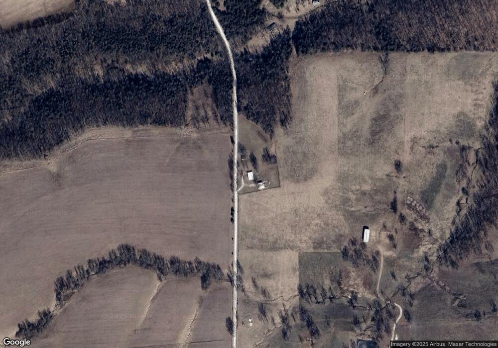
Map
Nearby Homes
- 817 Wilson Rd
- 11 and 21 Bryants Creek Dr
- 10 Bryants Creek Dr
- 00 Highway B Hwy
- 680 Tickridge Rd
- 11 Sherman Dr
- 2 Whitetail Ridge Rd
- 90 New Hope Rd
- 70 Eagles Watch Ct
- 104 Tick Rd Lot 1
- 70 Eagles Watch Dr
- 31 Whiteside Estates Dr
- 11 Andrew Ct
- 592 Phelps Ln
- 70 Whiteside Estates Dr
- 2380 Highway Jj
- 144 Highway F
- 59.371 Ac Dream Hollow Rd
- 6469 Cuivre Ford Rd
- 50 Saddlefield Ln
- 3301 Highway B
- 855 Wilson Rd
- 3427 Highway B
- 250 Rocking Horse Ln
- 3206 Highway B
- 260 Rocking Horse Ln
- 3154 Highway B
- 3517 Highway B
- 3509 Highway B
- 261 Rocking Horse Ln
- 350 Button Wood Tree Ln
- 13 Rocking Horse Ln
- 360 Button Wood Tree Ln
- 240 Rocking Horse Ln
- 747 Wilson Rd
- 3169 Highway B
- 251 Rocking Horse Ln
- 3162 Highway B
- 231 Rocking Horse Ln
- 340 Button Wood Tree Ln
Your Personal Tour Guide
Ask me questions while you tour the home.