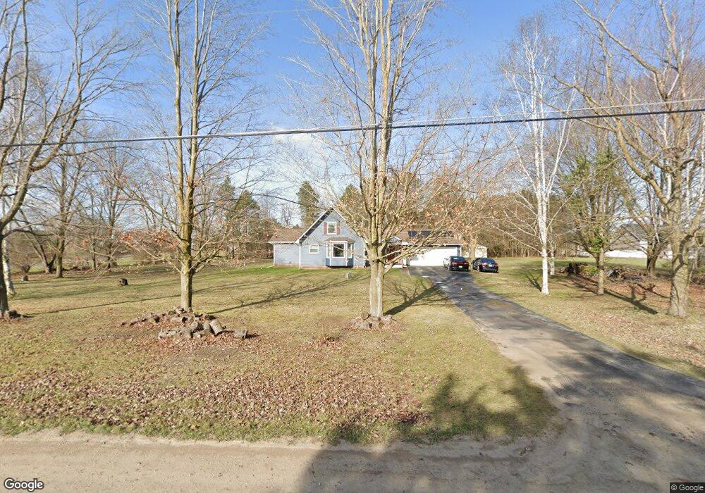
9410 Peer Rd South Lyon, MI 48178
Estimated Value: $413,000 - $542,000
--
Bed
--
Bath
2,023
Sq Ft
$234/Sq Ft
Est. Value
About This Home
This home is located at 9410 Peer Rd, South Lyon, MI 48178 and is currently estimated at $473,977, approximately $234 per square foot. 9410 Peer Rd is a home located in Livingston County with nearby schools including William A. Brummer Elementary School, Centennial Middle School, and South Lyon High School.
Ownership History
Date
Name
Owned For
Owner Type
Purchase Details
Closed on
May 6, 2002
Sold by
Princko Stephen T and Princko Karen Faith
Bought by
Bakkila Scott A
Current Estimated Value
Home Financials for this Owner
Home Financials are based on the most recent Mortgage that was taken out on this home.
Original Mortgage
$232,750
Outstanding Balance
$100,421
Interest Rate
7.24%
Estimated Equity
$373,556
Create a Home Valuation Report for This Property
The Home Valuation Report is an in-depth analysis detailing your home's value as well as a comparison with similar homes in the area
Home Values in the Area
Average Home Value in this Area
Purchase History
| Date | Buyer | Sale Price | Title Company |
|---|---|---|---|
| Bakkila Scott A | $245,000 | Eit Title |
Source: Public Records
Mortgage History
| Date | Status | Borrower | Loan Amount |
|---|---|---|---|
| Open | Bakkila Scott A | $232,750 |
Source: Public Records
Tax History Compared to Growth
Tax History
| Year | Tax Paid | Tax Assessment Tax Assessment Total Assessment is a certain percentage of the fair market value that is determined by local assessors to be the total taxable value of land and additions on the property. | Land | Improvement |
|---|---|---|---|---|
| 2025 | $3,932 | $209,500 | $0 | $0 |
| 2024 | $2,649 | $193,500 | $0 | $0 |
| 2023 | $2,526 | $176,400 | $0 | $0 |
| 2022 | $3,211 | $145,400 | $0 | $0 |
| 2021 | $3,211 | $149,200 | $0 | $0 |
| 2020 | $3,195 | $146,600 | $0 | $0 |
| 2019 | $3,294 | $145,400 | $0 | $0 |
| 2018 | $3,249 | $133,500 | $0 | $0 |
| 2017 | $3,300 | $127,700 | $0 | $0 |
| 2016 | $3,348 | $115,200 | $0 | $0 |
| 2014 | $3,229 | $101,600 | $0 | $0 |
| 2012 | $3,229 | $98,900 | $0 | $0 |
Source: Public Records
Map
Nearby Homes
- 9851 Atwood Dr
- 12459 Janes Landing Unit 41
- 51 Deanna Kay Ct Unit 51
- 50 Deanna Kay Ct Unit 50
- 25 Loretta Ln Unit 25
- 48 Loretta Ln Unit 48
- 28 Loretta Ln Unit 28
- 47 Loretta Ln Unit 47
- 64 Loretta Ln Unit 64
- 37 Janes Landing Unit 37
- 9931 Loretta Ln
- 13428 Sequoia Ln
- 9859 Aylebury Dr
- 12421 Cambridge Blvd Unit 4
- 12485 Cambridge Blvd Unit 2
- 12493 Cambridge Blvd Unit 44
- 13500 12 Mile Rd
- 9870 Cambridge Ct Unit 2
- 12518 Clover Ln
- 9920 Cambridge Ct
- 12900 Tradition Trail
- 9414 Peer Rd
- 9360 Peer Rd
- 12955 Burgandy Dr
- 9418 Peer Rd
- 12932 Walnut Ridge
- 12910 Walnut Ridge
- 9340 Peer Rd
- 12933 Burgandy Dr Unit 11
- 12884 Walnut Ridge
- 0 Walnut Ridge Unit 4970204
- 0 Walnut Ridge Rd Unit 4966599
- 9422 Peer Rd
- 9377 Peer Rd
- 12978 Burgandy Dr
- 12978 Burgandy Dr
- 12911 Burgandy Dr Unit 10
- 12868 Walnut Ridge
- 12934 Burgandy Dr
- 0 Peer Rd Unit 4971318