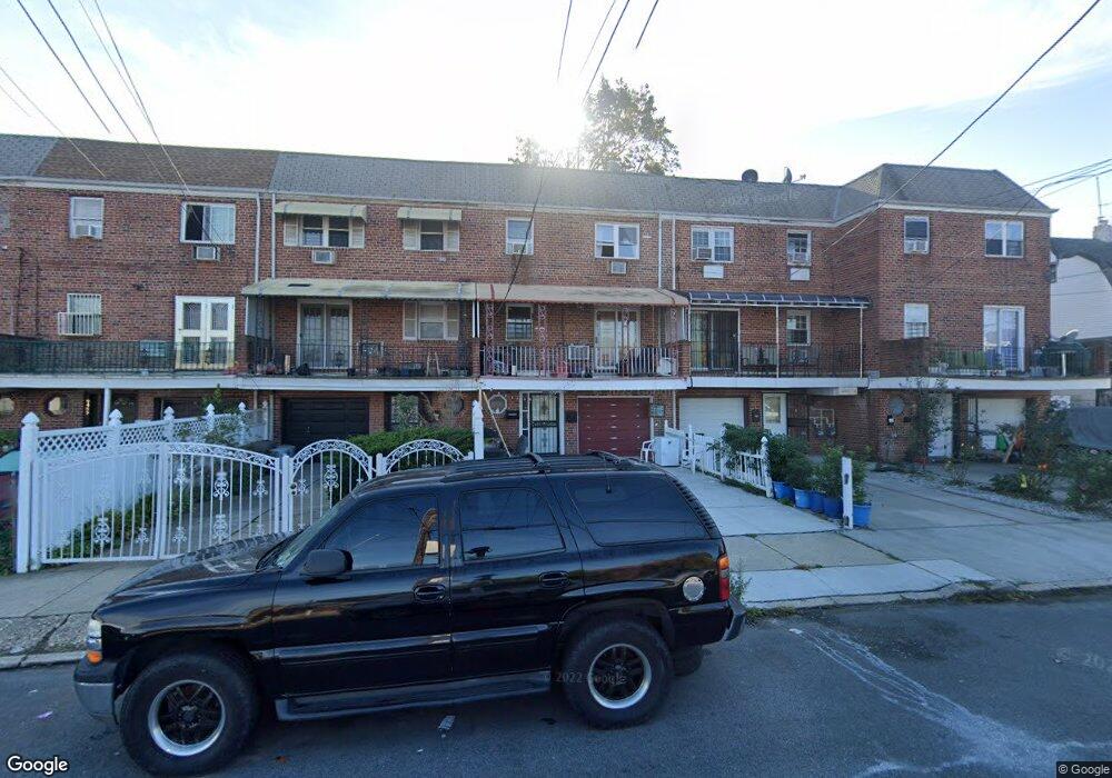
9411 199th St Hollis, NY 11423
Hollis NeighborhoodEstimated Value: $944,214 - $1,085,000
7
Beds
3
Baths
2,120
Sq Ft
$481/Sq Ft
Est. Value
About This Home
This home is located at 9411 199th St, Hollis, NY 11423 and is currently estimated at $1,020,054, approximately $481 per square foot. 9411 199th St is a home located in Queens County with nearby schools including P.S. 35 Nathaniel Woodhull, I.S. 238 Susan B Anthony Academy, and Wellspring Elementary & Middle.
Ownership History
Date
Name
Owned For
Owner Type
Purchase Details
Closed on
Sep 28, 2006
Sold by
Bissesar Merle Tankoo
Bought by
Ally Mohamed F and Ganga Nalien G
Current Estimated Value
Purchase Details
Closed on
Apr 9, 2002
Sold by
Tankoo Merle
Bought by
Tankoo-Bissesar Merle
Home Financials for this Owner
Home Financials are based on the most recent Mortgage that was taken out on this home.
Original Mortgage
$148,700
Interest Rate
7.15%
Mortgage Type
Purchase Money Mortgage
Create a Home Valuation Report for This Property
The Home Valuation Report is an in-depth analysis detailing your home's value as well as a comparison with similar homes in the area
Home Values in the Area
Average Home Value in this Area
Purchase History
| Date | Buyer | Sale Price | Title Company |
|---|---|---|---|
| Ally Mohamed F | $605,000 | -- | |
| Tankoo-Bissesar Merle | -- | -- |
Source: Public Records
Mortgage History
| Date | Status | Borrower | Loan Amount |
|---|---|---|---|
| Previous Owner | Tankoo-Bissesar Merle | $148,700 |
Source: Public Records
Tax History Compared to Growth
Tax History
| Year | Tax Paid | Tax Assessment Tax Assessment Total Assessment is a certain percentage of the fair market value that is determined by local assessors to be the total taxable value of land and additions on the property. | Land | Improvement |
|---|---|---|---|---|
| 2025 | $6,869 | $35,873 | $7,818 | $28,055 |
| 2024 | $6,882 | $35,602 | $8,097 | $27,505 |
| 2023 | $6,465 | $33,588 | $8,290 | $25,298 |
| 2022 | $6,039 | $43,320 | $12,840 | $30,480 |
| 2021 | $5,995 | $38,460 | $12,840 | $25,620 |
| 2020 | $6,032 | $40,140 | $12,840 | $27,300 |
| 2019 | $5,913 | $41,100 | $12,840 | $28,260 |
| 2018 | $5,408 | $27,990 | $9,478 | $18,512 |
| 2017 | $5,083 | $26,406 | $10,763 | $15,643 |
| 2016 | $4,670 | $26,406 | $10,763 | $15,643 |
| 2015 | $2,785 | $24,912 | $10,645 | $14,267 |
| 2014 | $2,785 | $24,724 | $12,520 | $12,204 |
Source: Public Records
Map
Nearby Homes
- 94-72 199th St
- 93-45 202nd St
- 93-17 201st St
- 9302 202nd St
- 197-31 Carpenter Ave
- 197-21 Carpenter Ave Unit 1G
- 9317 197th St
- 9051 201st St
- 90-35 198th St
- 90-62 204th St
- 100-32 199th St
- 9048 204th St
- 10035 204th St
- 104-09 201st St
- 19611 100th Ave
- 104-28 201st St
- 10411 200th St
- 204-20 104th Ave
- 92-22 195th Place
- 90-36 Francis Lewis Blvd