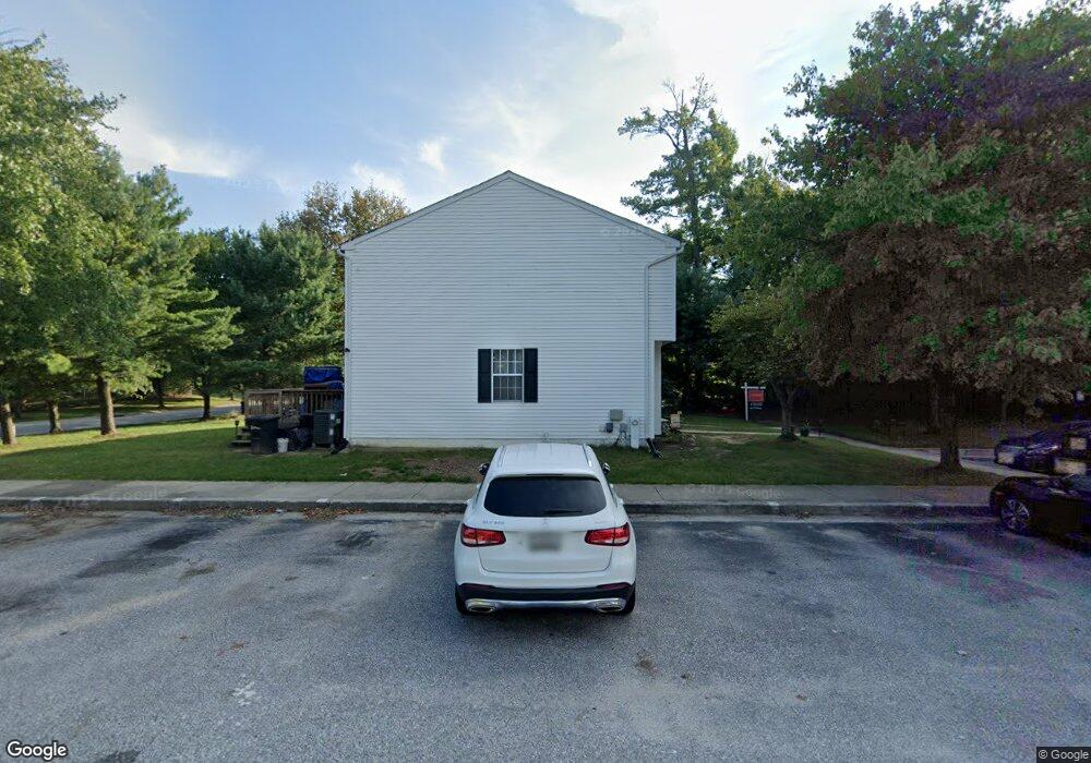
9411 Woodsong Ct Laurel, MD 20723
North Laurel NeighborhoodEstimated Value: $345,000 - $403,000
--
Bed
3
Baths
1,174
Sq Ft
$323/Sq Ft
Est. Value
About This Home
This home is located at 9411 Woodsong Ct, Laurel, MD 20723 and is currently estimated at $378,653, approximately $322 per square foot. 9411 Woodsong Ct is a home located in Howard County with nearby schools including Forest Ridge Elementary School, Patuxent Valley Middle School, and Hammond High School.
Ownership History
Date
Name
Owned For
Owner Type
Purchase Details
Closed on
Nov 14, 2000
Sold by
Stephen Bernas John
Bought by
Goodson Pamela S
Current Estimated Value
Purchase Details
Closed on
Mar 4, 1991
Sold by
Ryland Group Inc The
Bought by
Bernas John Stephen
Home Financials for this Owner
Home Financials are based on the most recent Mortgage that was taken out on this home.
Original Mortgage
$112,207
Interest Rate
9.4%
Purchase Details
Closed on
Dec 13, 1990
Sold by
Security Development Corporation
Bought by
Ryland Group Inc The
Create a Home Valuation Report for This Property
The Home Valuation Report is an in-depth analysis detailing your home's value as well as a comparison with similar homes in the area
Home Values in the Area
Average Home Value in this Area
Purchase History
| Date | Buyer | Sale Price | Title Company |
|---|---|---|---|
| Goodson Pamela S | $127,965 | -- | |
| Bernas John Stephen | $115,100 | -- | |
| Ryland Group Inc The | $170,000 | -- |
Source: Public Records
Mortgage History
| Date | Status | Borrower | Loan Amount |
|---|---|---|---|
| Previous Owner | Bernas John Stephen | $112,207 | |
| Closed | Goodson Pamela S | -- |
Source: Public Records
Tax History Compared to Growth
Tax History
| Year | Tax Paid | Tax Assessment Tax Assessment Total Assessment is a certain percentage of the fair market value that is determined by local assessors to be the total taxable value of land and additions on the property. | Land | Improvement |
|---|---|---|---|---|
| 2025 | $4,659 | $307,900 | $150,000 | $157,900 |
| 2024 | $4,659 | $294,300 | $0 | $0 |
| 2023 | $4,413 | $280,700 | $0 | $0 |
| 2022 | $4,178 | $267,100 | $120,000 | $147,100 |
| 2021 | $3,926 | $256,533 | $0 | $0 |
| 2020 | $3,926 | $245,967 | $0 | $0 |
| 2019 | $3,774 | $235,400 | $87,500 | $147,900 |
| 2018 | $3,492 | $231,533 | $0 | $0 |
| 2017 | $3,427 | $235,400 | $0 | $0 |
| 2016 | -- | $223,800 | $0 | $0 |
| 2015 | -- | $223,800 | $0 | $0 |
| 2014 | -- | $223,800 | $0 | $0 |
Source: Public Records
Map
Nearby Homes
- 9300 Ridings Way
- 9279 Brewington Ln
- 9560 Donnan Castle Ct
- 9409 Chippenham Dr
- 9200 Brewington Ln
- 9079 Manorwood Rd
- 9087 Manorwood Rd
- 9303 Kendal Cir
- 9110 Canterbury Riding
- 9321 Kenbrooke Ct
- 9508 Mellow Ct
- 9339 Kendal Cir
- 9384 Rock Ripple Ln
- 9380 Rock Ripple Ln
- 9284 Canterbury Riding
- 9304 Canterbury Riding
- 8605 Jennifer Ct
- 9046 LOT 5 Gorman Rd
- 9775 Northern Lakes Ln
- 9743 Whiskey Run
- 9413 Woodsong Ct
- 9415 Woodsong Ct
- 9402 Squires Ct
- 9404 Squires Ct
- 9406 Squires Ct
- 9408 Squires Ct
- 9410 Squires Ct
- 9410 Woodsong Ct
- 9412 Woodsong Ct
- 9408 Woodsong Ct
- 9414 Woodsong Ct
- 9406 Woodsong Ct
- 9416 Woodsong Ct
- 9404 Woodsong Ct
- 9402 Woodsong Ct
- 9412 Squires Ct
- 9420 Woodsong Ct
- 9422 Woodsong Ct
- 9414 Squires Ct
- 9400 Royal Path Cove