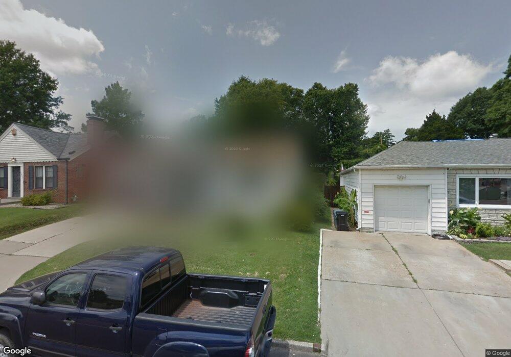
9415 Mackenzie Rd Saint Louis, MO 63123
Estimated Value: $213,000 - $222,000
2
Beds
1
Bath
1,060
Sq Ft
$204/Sq Ft
Est. Value
About This Home
This home is located at 9415 Mackenzie Rd, Saint Louis, MO 63123 and is currently estimated at $216,754, approximately $204 per square foot. 9415 Mackenzie Rd is a home located in St. Louis County with nearby schools including Mesnier Primary School, Gotsch Intermediate School, and Rogers Middle School.
Ownership History
Date
Name
Owned For
Owner Type
Purchase Details
Closed on
Aug 31, 2005
Sold by
Jones Karla M
Bought by
Kothe Glenn T and Sharp Andrea L
Current Estimated Value
Home Financials for this Owner
Home Financials are based on the most recent Mortgage that was taken out on this home.
Original Mortgage
$126,563
Outstanding Balance
$67,413
Interest Rate
5.78%
Mortgage Type
VA
Estimated Equity
$149,341
Purchase Details
Closed on
Jan 22, 1998
Sold by
Badgley Charlotte A
Bought by
Jones Karla M
Home Financials for this Owner
Home Financials are based on the most recent Mortgage that was taken out on this home.
Original Mortgage
$64,260
Interest Rate
7.07%
Mortgage Type
VA
Create a Home Valuation Report for This Property
The Home Valuation Report is an in-depth analysis detailing your home's value as well as a comparison with similar homes in the area
Home Values in the Area
Average Home Value in this Area
Purchase History
| Date | Buyer | Sale Price | Title Company |
|---|---|---|---|
| Kothe Glenn T | $123,900 | -- | |
| Jones Karla M | -- | -- |
Source: Public Records
Mortgage History
| Date | Status | Borrower | Loan Amount |
|---|---|---|---|
| Open | Kothe Glenn T | $126,563 | |
| Previous Owner | Jones Karla M | $64,260 |
Source: Public Records
Tax History
| Year | Tax Paid | Tax Assessment Tax Assessment Total Assessment is a certain percentage of the fair market value that is determined by local assessors to be the total taxable value of land and additions on the property. | Land | Improvement |
|---|---|---|---|---|
| 2025 | $2,658 | $36,790 | $12,390 | $24,400 |
| 2024 | $2,658 | $32,680 | $8,850 | $23,830 |
| 2023 | $2,658 | $32,680 | $8,850 | $23,830 |
| 2022 | $2,563 | $27,930 | $8,850 | $19,080 |
| 2021 | $2,340 | $27,930 | $8,850 | $19,080 |
| 2020 | $2,165 | $24,090 | $8,700 | $15,390 |
| 2019 | $2,160 | $24,090 | $8,700 | $15,390 |
| 2018 | $1,871 | $18,410 | $6,080 | $12,330 |
| 2017 | $1,860 | $18,410 | $6,080 | $12,330 |
| 2016 | $1,537 | $16,130 | $4,030 | $12,100 |
| 2015 | $1,543 | $16,130 | $4,030 | $12,100 |
| 2014 | $1,920 | $20,050 | $3,520 | $16,530 |
Source: Public Records
Map
Nearby Homes
- 9406 Mackenzie Rd
- 9845 Reavis Rd
- 9721 Shuffle Dr
- 9312 Aster Ave
- 9320 Sterling Place
- 9117 Tiber Ct
- 8942 Eden Ave
- 9509 Eucalyptus Dr
- 9534 Tiber Dr
- 9612 Myra Ct
- 8643 Charlton Ln
- 9955 Box Elder Ct
- 9225 Pavia Ave
- 9821 Zenith Dr
- 9105 Southview Ln
- 9115 Jonmar Ct
- 8505 Ava Dr
- 6321 Sheppard Dr
- 8709 Holbrook Dr
- 6714 Colony Acres Dr
- 9411 Mackenzie Rd
- 9423 Mackenzie Rd
- 9409 Mackenzie Rd
- 9425 Mackenzie Rd
- 9426 Brenda Ave
- 9428 Brenda Ave
- 9414 Brenda Ave
- 9430 Brenda Ave
- 9429 Mackenzie Rd
- 9410 Brenda Ave
- 9422 Mackenzie Rd
- 9426 Mackenzie Rd
- 9406 Brenda Ave
- 9430 Mackenzie Rd
- 9434 Brenda Ave
- 9437 Mackenzie Rd
- 9410 Mackenzie Rd
- 9516 Evandale Dr
- 9438 Brenda Ave
- 9565 Lydell Dr