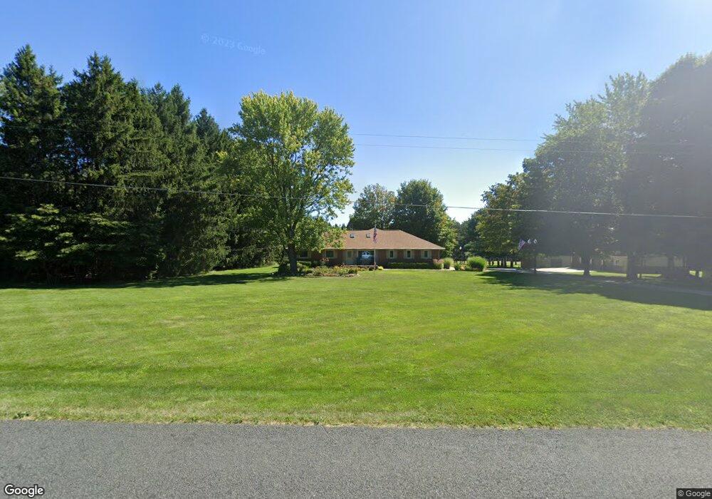
9415 S 10th St Schoolcraft, MI 49087
Estimated Value: $479,000 - $540,000
3
Beds
2
Baths
2,000
Sq Ft
$253/Sq Ft
Est. Value
About This Home
This home is located at 9415 S 10th St, Schoolcraft, MI 49087 and is currently estimated at $506,843, approximately $253 per square foot. 9415 S 10th St is a home located in Kalamazoo County with nearby schools including Clopton Elementary School, Schoolcraft Upper Elementary School, and Schoolcraft Middle School.
Ownership History
Date
Name
Owned For
Owner Type
Purchase Details
Closed on
Jan 30, 2025
Sold by
Benthin Donald G and Benthin Deanna J
Bought by
Benthin Donald G and Benthin Deanna J
Current Estimated Value
Purchase Details
Closed on
Oct 9, 2012
Sold by
Forman Charles J
Bought by
Benthin Donald G and Benthin Deanna J
Home Financials for this Owner
Home Financials are based on the most recent Mortgage that was taken out on this home.
Original Mortgage
$122,500
Interest Rate
3.55%
Mortgage Type
New Conventional
Create a Home Valuation Report for This Property
The Home Valuation Report is an in-depth analysis detailing your home's value as well as a comparison with similar homes in the area
Home Values in the Area
Average Home Value in this Area
Purchase History
| Date | Buyer | Sale Price | Title Company |
|---|---|---|---|
| Benthin Donald G | -- | None Listed On Document | |
| Benthin Donald G | $237,500 | Chicago Title | |
| Forman Charles J | -- | Chicago Title |
Source: Public Records
Mortgage History
| Date | Status | Borrower | Loan Amount |
|---|---|---|---|
| Previous Owner | Benthin Donald G | $122,500 |
Source: Public Records
Tax History Compared to Growth
Tax History
| Year | Tax Paid | Tax Assessment Tax Assessment Total Assessment is a certain percentage of the fair market value that is determined by local assessors to be the total taxable value of land and additions on the property. | Land | Improvement |
|---|---|---|---|---|
| 2025 | $5,686 | $216,600 | $0 | $0 |
| 2024 | $1,798 | $206,800 | $0 | $0 |
| 2023 | $1,714 | $182,700 | $0 | $0 |
| 2022 | $5,137 | $163,400 | $0 | $0 |
| 2021 | $4,990 | $157,600 | $0 | $0 |
| 2020 | $4,872 | $159,700 | $0 | $0 |
| 2019 | $4,013 | $147,700 | $0 | $0 |
| 2018 | $2,984 | $154,500 | $0 | $0 |
| 2017 | -- | $153,500 | $0 | $0 |
| 2016 | -- | $131,800 | $0 | $0 |
| 2015 | -- | $119,600 | $28,000 | $91,600 |
| 2014 | -- | $119,600 | $0 | $0 |
Source: Public Records
Map
Nearby Homes
- 5191 W R Ave
- 5151 W R Ave
- 5727 Bob White Ave
- 9030 S 8th St
- 5284 Green Pine Ln
- 5353 Chickadee Dr
- 8420 S 12th St
- 5420 Whippoorwill Dr
- 4186 Vanderbilt Ave
- 8022 Magistrate St
- 6737 W Q Ave
- 7839 Clydesdale Ave Unit 93
- 5660 Saddle Club Dr
- 5825 Saddle Club Dr
- 7873 Shepherds Glen Ct
- 7207 Coreopsis Cove
- 8427 Charlevoix St Unit 3
- 7620 Stablebrook Cir
- 7426 Texas Heights Ave
- 7403 Mackinaw Cove