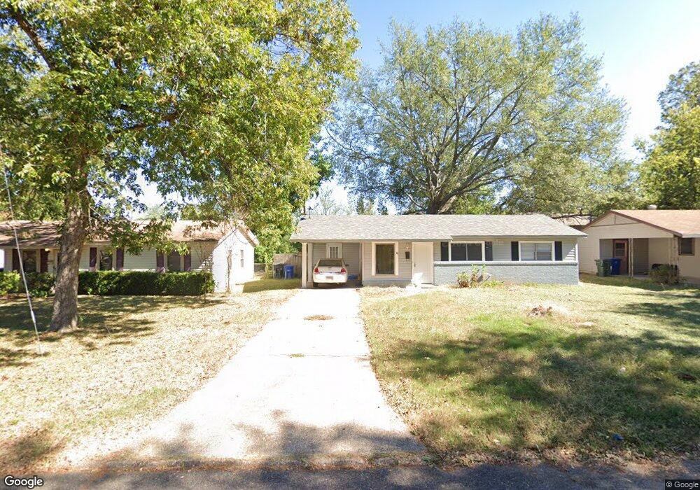
9415 Woodcrest Dr Shreveport, LA 71118
Hyde Park-Brookwood-Southern Hills NeighborhoodEstimated Value: $105,036 - $126,000
3
Beds
1
Bath
985
Sq Ft
$117/Sq Ft
Est. Value
About This Home
This home is located at 9415 Woodcrest Dr, Shreveport, LA 71118 and is currently estimated at $114,759, approximately $116 per square foot. 9415 Woodcrest Dr is a home located in Caddo Parish with nearby schools including Fairfield Magnet School, Judson Fundamental Elementary School, and South Highlands Elementary.
Ownership History
Date
Name
Owned For
Owner Type
Purchase Details
Closed on
Jun 28, 2023
Sold by
Parris Of Caddo
Bought by
Us Bank Trust Company National Association and Us Bank National Association
Current Estimated Value
Purchase Details
Closed on
Dec 6, 2006
Sold by
Randolph Eric
Bought by
Spurlin Melody L
Home Financials for this Owner
Home Financials are based on the most recent Mortgage that was taken out on this home.
Original Mortgage
$80,000
Interest Rate
9%
Mortgage Type
Unknown
Purchase Details
Closed on
Jun 14, 2006
Sold by
City Of Shreveport
Bought by
Dubach Land Company Llc
Purchase Details
Closed on
Jun 2, 2006
Sold by
Eric Randolph
Bought by
Mindena Land Company Llc
Create a Home Valuation Report for This Property
The Home Valuation Report is an in-depth analysis detailing your home's value as well as a comparison with similar homes in the area
Home Values in the Area
Average Home Value in this Area
Purchase History
| Date | Buyer | Sale Price | Title Company |
|---|---|---|---|
| Us Bank Trust Company National Association | $65,000 | None Listed On Document | |
| Spurlin Melody L | $100,000 | Pierremont Title | |
| Dubach Land Company Llc | $323 | None Available | |
| Mindena Land Company Llc | $921 | None Available |
Source: Public Records
Mortgage History
| Date | Status | Borrower | Loan Amount |
|---|---|---|---|
| Previous Owner | Spurlin Melody L | $80,000 |
Source: Public Records
Tax History Compared to Growth
Tax History
| Year | Tax Paid | Tax Assessment Tax Assessment Total Assessment is a certain percentage of the fair market value that is determined by local assessors to be the total taxable value of land and additions on the property. | Land | Improvement |
|---|---|---|---|---|
| 2024 | $1,170 | $7,508 | $1,319 | $6,189 |
| 2023 | $1,088 | $6,828 | $1,257 | $5,571 |
| 2022 | $1,088 | $6,828 | $1,257 | $5,571 |
| 2021 | $1,072 | $6,828 | $1,257 | $5,571 |
| 2020 | $1,072 | $6,828 | $1,257 | $5,571 |
| 2019 | $1,064 | $6,581 | $1,257 | $5,324 |
| 2018 | $0 | $6,581 | $1,257 | $5,324 |
| 2017 | $1,081 | $6,581 | $1,257 | $5,324 |
| 2015 | $871 | $6,720 | $1,260 | $5,460 |
| 2014 | $878 | $6,720 | $1,260 | $5,460 |
| 2013 | -- | $6,720 | $1,260 | $5,460 |
Source: Public Records
Map
Nearby Homes
- 9416 Woodcrest Dr
- 9406 Normandie Dr
- 234 Woodcrest Dr
- 1112 Southland Park Dr
- 9442 Ferrara Dr
- 9448 Ferrara Dr
- 9410 Ferrara Dr
- 1119 Kimberly Dr
- 8996 Mansfield Rd
- 9401 Pitch Pine Dr
- 9449 Pitch Pine Dr
- 3017 Hazel Cir
- 9346 Shartel Dr
- 2401 Windbrooke Ct
- 9227 Walker Rd
- 2205 Chase Field
- 2422 Somersworth Dr
- 9159 Southwood Dr
- 9803 Chase Island Dr
- 2513 Kristiansand Ct
- 9411 Woodcrest Dr
- 9423 Woodcrest Dr
- 9422 Woodcrest Dr
- 9410 Woodcrest Dr
- 9427 Woodcrest Dr
- 9430 Woodcrest Dr
- 9403 Woodcrest Dr
- 9401 Woodcrest Dr
- 9431 Woodcrest Dr
- 9434 Woodcrest Dr
- 2900 Birch Dr
- 9438 Woodcrest Dr
- 2904 Birch Dr
- 9419 Normandie Dr
- 9415 Normandie Dr
- 9435 Woodcrest Dr
- 9423 Normandie Dr
- 9411 Normandie Dr
- 9442 Woodcrest Dr
- 2908 Birch Dr