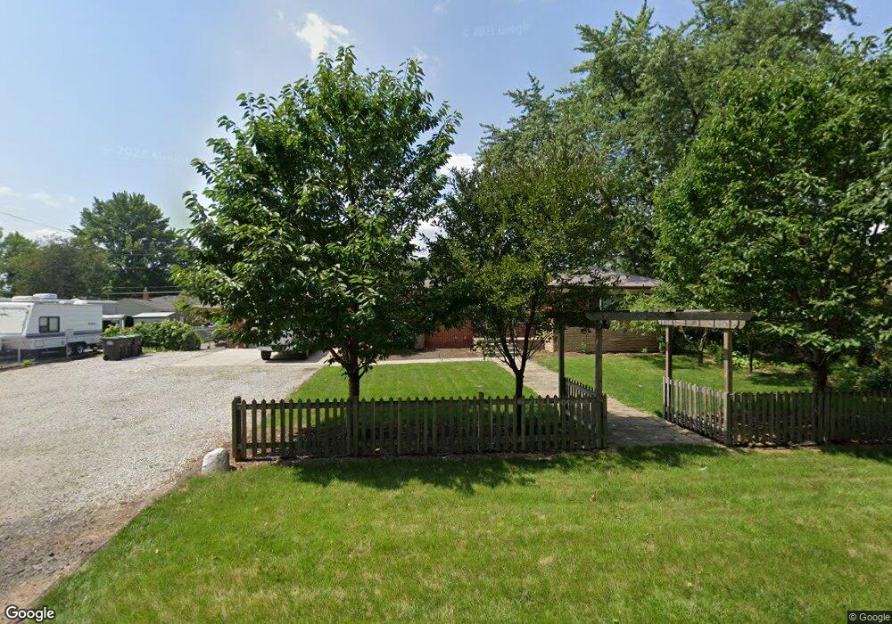
9416 Clippert St Unit Bldg-Unit Taylor, MI 48180
Estimated Value: $229,000 - $274,000
--
Bed
2
Baths
1,190
Sq Ft
$210/Sq Ft
Est. Value
About This Home
This home is located at 9416 Clippert St Unit Bldg-Unit, Taylor, MI 48180 and is currently estimated at $249,626, approximately $209 per square foot. 9416 Clippert St Unit Bldg-Unit is a home located in Wayne County with nearby schools including Kinyon Elementary School, Robert J. West Middle School, and Taylor Preparatory High School.
Ownership History
Date
Name
Owned For
Owner Type
Purchase Details
Closed on
Jul 16, 2018
Sold by
Staats Anthony
Bought by
Wilson Brett
Current Estimated Value
Purchase Details
Closed on
May 27, 2008
Sold by
Fannie Mae
Bought by
Staats Anthony and Staats Catrina
Purchase Details
Closed on
Jun 7, 2007
Sold by
Financial Freedom Senior Funding Corp
Bought by
Federal National Mortgage Association
Purchase Details
Closed on
Jun 6, 2007
Sold by
Waddell William M
Bought by
Financial Freedom Senior Funding Corp
Create a Home Valuation Report for This Property
The Home Valuation Report is an in-depth analysis detailing your home's value as well as a comparison with similar homes in the area
Home Values in the Area
Average Home Value in this Area
Purchase History
| Date | Buyer | Sale Price | Title Company |
|---|---|---|---|
| Wilson Brett | $152,500 | Minnesota Title Agency | |
| Staats Anthony | $59,900 | Greco | |
| Federal National Mortgage Association | -- | None Available | |
| Financial Freedom Senior Funding Corp | $140,312 | None Available |
Source: Public Records
Tax History Compared to Growth
Tax History
| Year | Tax Paid | Tax Assessment Tax Assessment Total Assessment is a certain percentage of the fair market value that is determined by local assessors to be the total taxable value of land and additions on the property. | Land | Improvement |
|---|---|---|---|---|
| 2025 | $2,845 | $113,100 | $0 | $0 |
| 2024 | $2,845 | $105,600 | $0 | $0 |
| 2023 | $3,426 | $94,000 | $0 | $0 |
| 2022 | $2,715 | $84,200 | $0 | $0 |
| 2021 | $3,007 | $76,200 | $0 | $0 |
| 2020 | $2,926 | $68,500 | $0 | $0 |
| 2019 | $292,424 | $54,700 | $0 | $0 |
| 2018 | $1,867 | $46,800 | $0 | $0 |
| 2017 | $1,075 | $43,400 | $0 | $0 |
| 2016 | $2,349 | $42,300 | $0 | $0 |
| 2015 | $4,674 | $47,800 | $0 | $0 |
| 2013 | $4,640 | $47,100 | $0 | $0 |
| 2012 | $1,927 | $46,700 | $22,300 | $24,400 |
Source: Public Records
Map
Nearby Homes
- 21059 Wick Rd
- 9125 Dudley St
- 20968 Shannon St
- 9444 Polk St
- 9350 Polk St
- 20812 Wick Rd
- 8910 Mason St
- 22150 Haig St
- 22134 Wick Rd
- 8818 Clippert St
- 9883 Roosevelt St
- 22311 Wick Rd
- 9381 Pardee Rd
- 22327 Wick Rd
- 9942 Lincoln St
- 10219 Island Lake Dr
- 10272 Island Lake Dr
- 8951 Rackham St
- 22333 Kinyon St
- 22129 Kinyon St Unit 52
- 9416 Clippert St
- 9420 Clippert St
- 9441 William St
- 9433 William St
- 9457 William St
- 9410 Clippert St
- 9421 William St
- 9449 William St
- 9465 William St
- 9409 William St
- 9473 William St
- 9465 Williams St
- 9481 William St
- 9347 William St
- 9426 Mortenview Dr
- 9412 Mortenview Dr
- 0 William St
- Vacant William St
- 9446 William St
- 9434 William St
