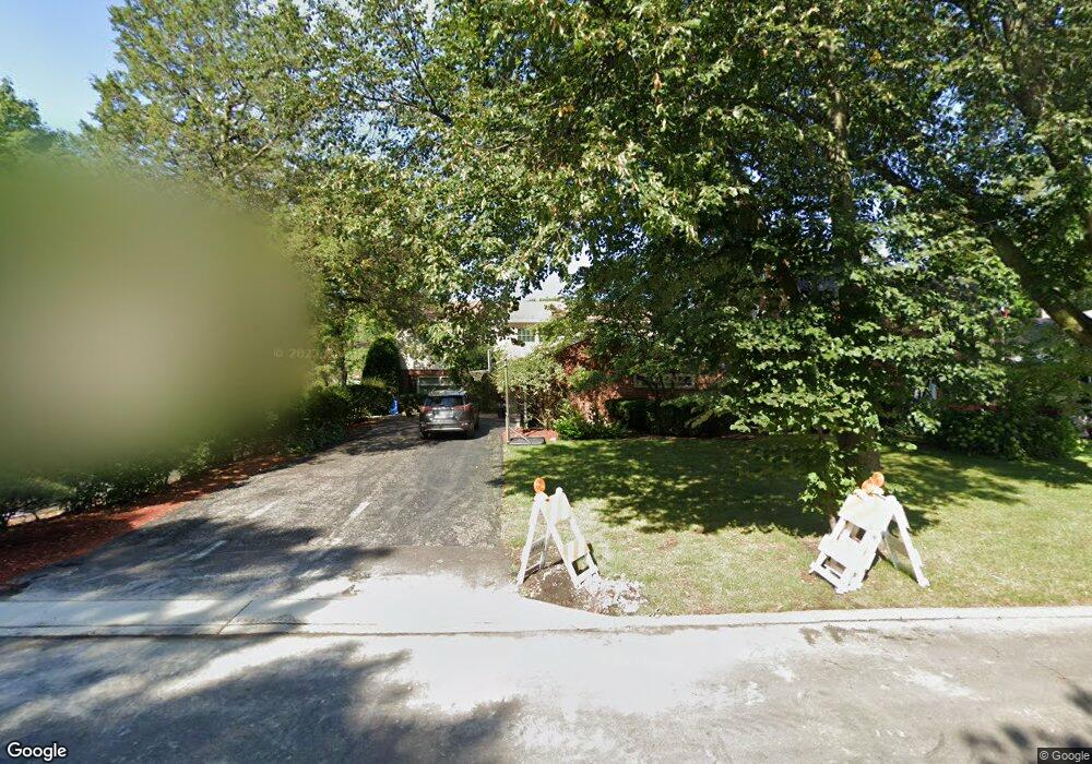
9418 Harding Ave Evanston, IL 60203
North Skokie NeighborhoodEstimated Value: $576,000 - $652,334
4
Beds
2
Baths
1,619
Sq Ft
$373/Sq Ft
Est. Value
About This Home
This home is located at 9418 Harding Ave, Evanston, IL 60203 and is currently estimated at $604,584, approximately $373 per square foot. 9418 Harding Ave is a home located in Cook County with nearby schools including Walker Elementary School, Chute Middle School, and Evanston Township High School.
Create a Home Valuation Report for This Property
The Home Valuation Report is an in-depth analysis detailing your home's value as well as a comparison with similar homes in the area
Home Values in the Area
Average Home Value in this Area
Tax History Compared to Growth
Tax History
| Year | Tax Paid | Tax Assessment Tax Assessment Total Assessment is a certain percentage of the fair market value that is determined by local assessors to be the total taxable value of land and additions on the property. | Land | Improvement |
|---|---|---|---|---|
| 2024 | $4,405 | $21,506 | $6,878 | $14,628 |
| 2023 | $4,207 | $21,506 | $6,878 | $14,628 |
| 2022 | $4,207 | $21,506 | $6,878 | $14,628 |
| 2021 | $3,900 | $17,949 | $4,126 | $13,823 |
| 2020 | $3,891 | $17,949 | $4,126 | $13,823 |
| 2019 | $4,152 | $19,725 | $4,126 | $15,599 |
| 2018 | $5,070 | $20,455 | $3,537 | $16,918 |
| 2017 | $4,962 | $20,455 | $3,537 | $16,918 |
| 2016 | $5,239 | $22,155 | $3,537 | $18,618 |
| 2015 | $4,264 | $17,413 | $3,045 | $14,368 |
| 2014 | $4,224 | $17,413 | $3,045 | $14,368 |
| 2013 | $4,169 | $17,413 | $3,045 | $14,368 |
Source: Public Records
Map
Nearby Homes
- 2633 Crawford Ave
- 9628 Keystone Ave
- 9333 Kildare Ave
- 9101 Sleeping Bear Rd
- 9249 Kildare Ave
- 9349 Lowell Ave
- 9246 Kildare Ave
- 4310 Church St
- 9833 Keystone Ave
- 4354 Lyons St
- 9201 Drake Ave Unit 101S
- 9010 Keeler Ave
- 40 Williamsburg Rd
- 3500 Church St Unit 204
- 3500 Church St Unit 104
- 4343 Davis St
- 9237 Forestview Rd
- 16 Williamsburg Ct
- 2113 Forestview Rd
- 9353 Ewing Ave
- 9418 Harding Ave
- 9422 Harding Ave
- 9414 Harding Ave
- 9414 Harding Ave
- 9430 Harding Ave
- 9421 Crawford Ave
- 9429 Crawford Ave
- 9413 Crawford Ave
- 3940 Emerson St
- 9436 Harding Ave
- 9409 Crawford Ave
- 9433 Crawford Ave
- 9419 Harding Ave
- 9425 Harding Ave
- 9425 Harding Ave
- 9411 Harding Ave
- 9433 Harding Ave
- 9433 Harding Ave
- 3950 Emerson St
- 3950 Emerson St