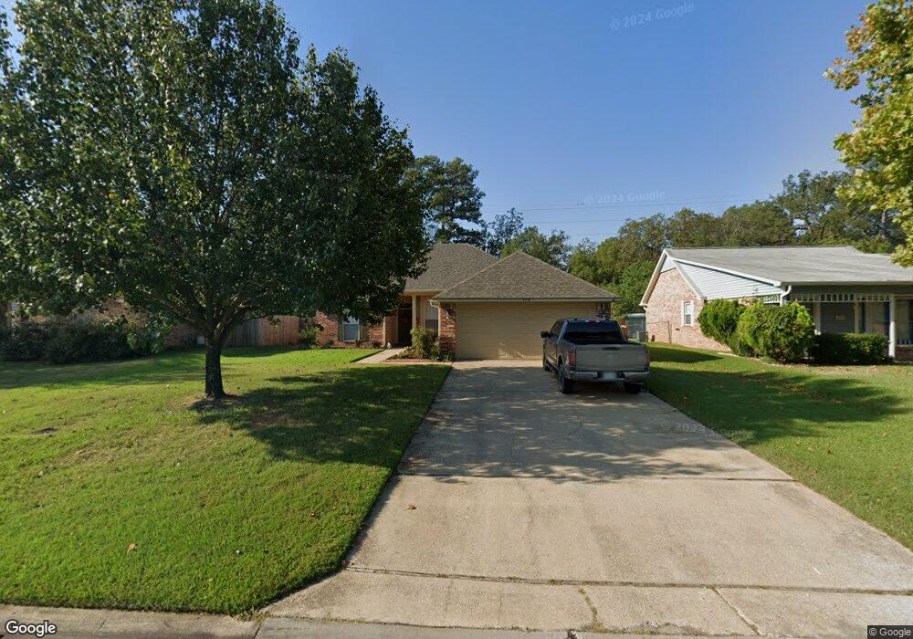
9418 Leaside Way Shreveport, LA 71118
Jenkins-Pinecroft NeighborhoodEstimated Value: $195,000 - $219,000
3
Beds
2
Baths
1,628
Sq Ft
$126/Sq Ft
Est. Value
About This Home
This home is located at 9418 Leaside Way, Shreveport, LA 71118 and is currently estimated at $205,339, approximately $126 per square foot. 9418 Leaside Way is a home located in Caddo Parish with nearby schools including Fairfield Magnet School, Judson Fundamental Elementary School, and South Highlands Elementary.
Ownership History
Date
Name
Owned For
Owner Type
Purchase Details
Closed on
Jun 20, 2014
Sold by
Maxie James Edward and Maxie Tajakica White
Bought by
Harris Foxtrot Liens Bmo
Current Estimated Value
Purchase Details
Closed on
Jun 13, 2014
Sold by
Maxie James Edward and Maxie Tajakica White
Bought by
Opal Land Co Llc
Purchase Details
Closed on
Sep 30, 2005
Sold by
Larry L Dean Builders Inc
Bought by
Maxie James Edward and Maxie Tajakica White
Home Financials for this Owner
Home Financials are based on the most recent Mortgage that was taken out on this home.
Original Mortgage
$154,300
Interest Rate
8.43%
Mortgage Type
Unknown
Create a Home Valuation Report for This Property
The Home Valuation Report is an in-depth analysis detailing your home's value as well as a comparison with similar homes in the area
Home Values in the Area
Average Home Value in this Area
Purchase History
| Date | Buyer | Sale Price | Title Company |
|---|---|---|---|
| Harris Foxtrot Liens Bmo | $335 | None Available | |
| Opal Land Co Llc | $893 | None Available | |
| Maxie James Edward | $154,300 | None Available |
Source: Public Records
Mortgage History
| Date | Status | Borrower | Loan Amount |
|---|---|---|---|
| Previous Owner | Maxie James Edward | $154,300 |
Source: Public Records
Tax History Compared to Growth
Tax History
| Year | Tax Paid | Tax Assessment Tax Assessment Total Assessment is a certain percentage of the fair market value that is determined by local assessors to be the total taxable value of land and additions on the property. | Land | Improvement |
|---|---|---|---|---|
| 2024 | $2,759 | $17,698 | $1,915 | $15,783 |
| 2023 | $2,632 | $16,511 | $1,824 | $14,687 |
| 2022 | $2,632 | $16,511 | $1,824 | $14,687 |
| 2021 | $2,592 | $16,511 | $1,824 | $14,687 |
| 2020 | $2,592 | $16,511 | $1,824 | $14,687 |
| 2019 | $2,598 | $16,063 | $1,824 | $14,239 |
| 2018 | $2,068 | $16,063 | $1,824 | $14,239 |
| 2017 | $2,639 | $16,063 | $1,824 | $14,239 |
| 2015 | $1,085 | $15,870 | $1,820 | $14,050 |
| 2014 | $2,072 | $15,870 | $1,820 | $14,050 |
| 2013 | -- | $15,870 | $1,820 | $14,050 |
Source: Public Records
Map
Nearby Homes
- 9515 Rose Hollow Ln
- 9507 Chaparral Ln
- 9717 Charleston Dr
- 3359 Green Terrace Rd
- 9336 Dean Rd
- 3315 Armstead Dr
- 3415 Tara Ln
- 3419 Tara Ln
- 3600 Lannon Cir
- 3242 Bert Kouns Industrial Loop
- 9242 Simmons Place
- 2903 Williamson Way
- 9227 Walker Rd
- 176 Fountain View
- 3017 Hazel Cir
- 5340 Colquitt Rd
- 234 Woodcrest Dr
- 8996 Mansfield Rd
- 9416 Woodcrest Dr
- 9219 Green Forest Rd
- 9420 Leaside Way
- 9416 Leaside Way
- 9422 Leaside Way
- 9414 Leaside Way
- 9405 Montwood Cir
- 9424 Leaside Way
- 9412 Leaside Way
- 9421 Leaside Way
- 3314 Colquitt Rd
- 9409 Leaside Way
- 9423 Leaside Way
- 9410 Leaside Way
- 9402 Montwood Cir
- 9403 Montwood Cir
- 9423 Amity Way
- 9421 Amity Way
- 9425 Leaside Way
- 9407 Leaside Way
- 9419 Amity Way
- 9427 Amity Way