Estimated Value: $532,000 - $659,000
4
Beds
3
Baths
2,932
Sq Ft
$204/Sq Ft
Est. Value
About This Home
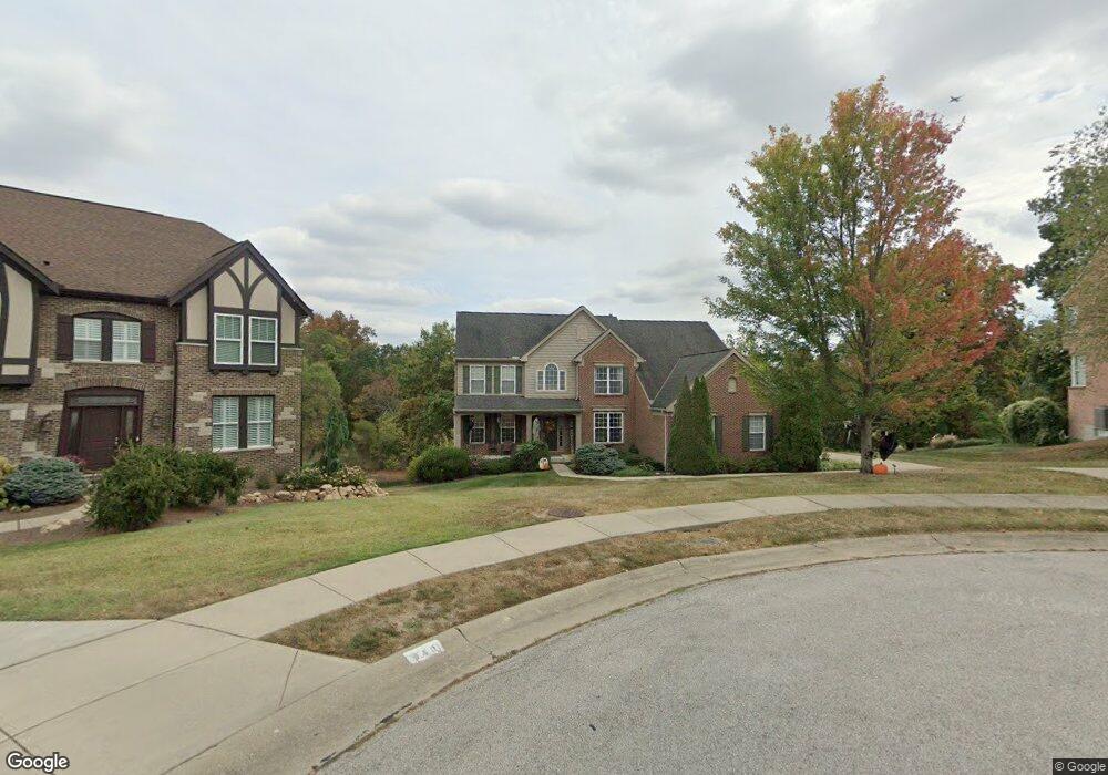
This home is located at 942 Cannonade Ct, Union, KY 41091 and is currently estimated at $598,887, approximately $204 per square foot. 942 Cannonade Ct is a home located in Boone County with nearby schools including Shirley Mann Elementary School, Gray Middle School, and Larry A. Ryle High School.
Ownership History
Date
Name
Owned For
Owner Type
Purchase Details
Closed on
Nov 28, 2005
Sold by
Fischer Single Family Homes Ii L L C
Bought by
Berner Mark and Berner Trisha
Current Estimated Value
Home Financials for this Owner
Home Financials are based on the most recent Mortgage that was taken out on this home.
Original Mortgage
$310,300
Outstanding Balance
$169,006
Interest Rate
6.04%
Mortgage Type
New Conventional
Estimated Equity
$429,881
Purchase Details
Closed on
Jun 24, 2005
Sold by
Triple Crown Developers Llc
Bought by
Fischer Singel Family Homes Ii Llc
Create a Home Valuation Report for This Property
The Home Valuation Report is an in-depth analysis detailing your home's value as well as a comparison with similar homes in the area
Home Values in the Area
Average Home Value in this Area
Purchase History
| Date | Buyer | Sale Price | Title Company |
|---|---|---|---|
| Berner Mark | $387,915 | Homestead Title Agency Ltd | |
| Fischer Singel Family Homes Ii Llc | $73,757 | None Available |
Source: Public Records
Mortgage History
| Date | Status | Borrower | Loan Amount |
|---|---|---|---|
| Open | Berner Mark | $310,300 |
Source: Public Records
Tax History
| Year | Tax Paid | Tax Assessment Tax Assessment Total Assessment is a certain percentage of the fair market value that is determined by local assessors to be the total taxable value of land and additions on the property. | Land | Improvement |
|---|---|---|---|---|
| 2025 | $5,040 | $444,300 | $90,000 | $354,300 |
| 2024 | $4,304 | $385,000 | $65,000 | $320,000 |
| 2023 | $4,456 | $385,000 | $65,000 | $320,000 |
| 2022 | $4,322 | $385,000 | $65,000 | $320,000 |
| 2021 | $4,406 | $385,000 | $65,000 | $320,000 |
| 2020 | $4,407 | $385,000 | $65,000 | $320,000 |
| 2019 | $4,459 | $385,000 | $65,000 | $320,000 |
| 2018 | $4,468 | $385,000 | $65,000 | $320,000 |
| 2017 | $4,393 | $385,000 | $65,000 | $320,000 |
| 2015 | $4,339 | $385,000 | $65,000 | $320,000 |
| 2013 | -- | $385,000 | $65,000 | $320,000 |
Source: Public Records
Map
Nearby Homes
- 10869 Arcaro Ln
- 10802 Doral Ct
- 10803 Muirfield Ct
- 909 Riva Ridge Ln
- 1096 Whirlaway Dr
- 10878 Saint Andrews Dr
- 10730 Stone St
- 1068 Charley Ct
- 1049 Swale Ct
- 928 Dustwhirl Dr
- 809 Hancock Ct
- 10759 Crown Pointe Dr
- 1316 Oxley Ct
- 10771 Crown Pointe Dr
- 6813 Green Isle Ln
- 1095 Bold Forbes Ct
- 10826 Omaha Trace
- 854 Hancock Ct
- 1152 Monarchos Ridge
- 701 Keeneland Green Dr
- 940 Cannonade Ct
- 946 Cannonade Ct
- 10870 Arcaro Ln
- 943 Cannonade Ct
- 10866 Arcaro Ln
- 947 Cannonade Ct
- 10863 Sawgrass Ct
- 10861 Sawgrass Ct
- 951 Cannonade Ct
- 10859 Sawgrass Ct
- 10857 Sawgrass Ct
- 10874 Arcaro Ln
- 10855 Sawgrass Ct
- 942 Whirlaway Dr
- 934 Whirlaway Dr
- 10845 Sawgrass Ct
- 10843 Sawgrass Ct
- 10858 Arcaro Ln
- 950 Whirlaway Dr
- 10841 Sawgrass Ct
Your Personal Tour Guide
Ask me questions while you tour the home.