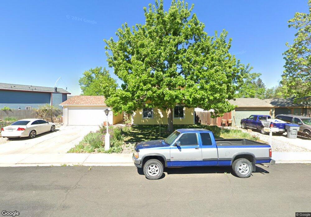
942 Pasque Dr Longmont, CO 80504
Clark Centennial NeighborhoodEstimated Value: $483,956 - $519,000
3
Beds
2
Baths
1,680
Sq Ft
$298/Sq Ft
Est. Value
About This Home
This home is located at 942 Pasque Dr, Longmont, CO 80504 and is currently estimated at $500,489, approximately $297 per square foot. 942 Pasque Dr is a home located in Boulder County with nearby schools including Timberline Pk-8, Skyline High School, and Messiahville Baptist Academy.
Ownership History
Date
Name
Owned For
Owner Type
Purchase Details
Closed on
Aug 22, 1994
Sold by
Mass Jerry J and Graff Denise B
Bought by
Omeara Donald J
Current Estimated Value
Home Financials for this Owner
Home Financials are based on the most recent Mortgage that was taken out on this home.
Original Mortgage
$116,450
Interest Rate
8.69%
Mortgage Type
VA
Purchase Details
Closed on
Apr 4, 1984
Bought by
Omeara Donald J and Omeara Carol A
Purchase Details
Closed on
Jul 31, 1978
Bought by
Omeara Donald J and Omeara Carol A
Create a Home Valuation Report for This Property
The Home Valuation Report is an in-depth analysis detailing your home's value as well as a comparison with similar homes in the area
Home Values in the Area
Average Home Value in this Area
Purchase History
| Date | Buyer | Sale Price | Title Company |
|---|---|---|---|
| Omeara Donald J | $116,450 | Commonwealth Land Title Ins | |
| Omeara Donald J | $74,000 | -- | |
| Omeara Donald J | $38,500 | -- |
Source: Public Records
Mortgage History
| Date | Status | Borrower | Loan Amount |
|---|---|---|---|
| Closed | Omeara Donald J | $116,450 |
Source: Public Records
Tax History
| Year | Tax Paid | Tax Assessment Tax Assessment Total Assessment is a certain percentage of the fair market value that is determined by local assessors to be the total taxable value of land and additions on the property. | Land | Improvement |
|---|---|---|---|---|
| 2025 | $2,079 | $29,494 | $9,413 | $20,081 |
| 2024 | $2,079 | $29,494 | $9,413 | $20,081 |
| 2023 | $2,051 | $28,435 | $10,385 | $21,735 |
| 2022 | $2,384 | $24,096 | $7,812 | $16,284 |
| 2021 | $2,415 | $24,789 | $8,037 | $16,752 |
| 2020 | $2,007 | $20,657 | $6,936 | $13,721 |
| 2019 | $1,975 | $20,657 | $6,936 | $13,721 |
| 2018 | $1,747 | $18,396 | $6,984 | $11,412 |
| 2017 | $1,724 | $20,338 | $7,721 | $12,617 |
| 2016 | $1,555 | $16,270 | $6,129 | $10,141 |
| 2015 | $1,482 | $13,373 | $4,219 | $9,154 |
| 2014 | $1,249 | $13,373 | $4,219 | $9,154 |
Source: Public Records
Map
Nearby Homes
- 1267 E 9th Ave
- 902 Sugar Mill Ave
- 582 Highland Dr
- 12027 Saint Vrain Rd
- 820 Brookside Dr
- 752 Brookside Dr
- 1337 Trail Ridge Rd
- 712 Pendleton Ave
- 829 Independence Dr
- 717 Elliott St
- 1159 Fall River Cir
- 613 Rider Ridge Dr
- 631 Rider Ridge Rd
- 524 Rider Ridge Dr
- 1419 Red Mountain Dr Unit 15
- 1419 Red Mountain Dr Unit 98
- 1244 Snowbank Ct
- 815 Hilltop St
- 1209 Button Rock Dr
- 6006 Fox Hill Dr
Your Personal Tour Guide
Ask me questions while you tour the home.