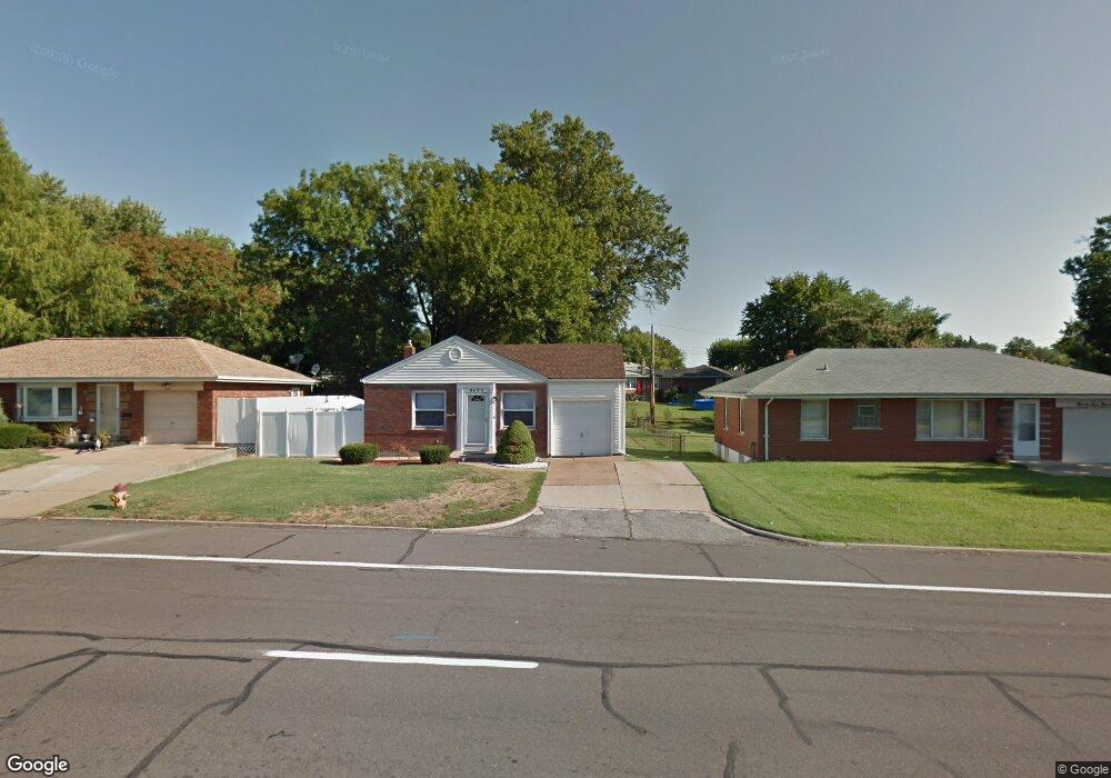
9423 Reavis Barracks Rd Saint Louis, MO 63123
Estimated Value: $223,000 - $235,000
2
Beds
1
Bath
995
Sq Ft
$230/Sq Ft
Est. Value
About This Home
This home is located at 9423 Reavis Barracks Rd, Saint Louis, MO 63123 and is currently estimated at $229,154, approximately $230 per square foot. 9423 Reavis Barracks Rd is a home located in St. Louis County with nearby schools including Mesnier Primary School, Gotsch Intermediate School, and Rogers Middle School.
Ownership History
Date
Name
Owned For
Owner Type
Purchase Details
Closed on
Jun 28, 1999
Sold by
Gheradini Susan M and Gheradini Linda G
Bought by
Meyer Ronald J and Meyer Renee E
Current Estimated Value
Home Financials for this Owner
Home Financials are based on the most recent Mortgage that was taken out on this home.
Original Mortgage
$90,337
Outstanding Balance
$24,139
Interest Rate
7.21%
Mortgage Type
FHA
Estimated Equity
$205,015
Create a Home Valuation Report for This Property
The Home Valuation Report is an in-depth analysis detailing your home's value as well as a comparison with similar homes in the area
Home Values in the Area
Average Home Value in this Area
Purchase History
| Date | Buyer | Sale Price | Title Company |
|---|---|---|---|
| Meyer Ronald J | $91,000 | -- |
Source: Public Records
Mortgage History
| Date | Status | Borrower | Loan Amount |
|---|---|---|---|
| Open | Meyer Ronald J | $90,337 |
Source: Public Records
Tax History Compared to Growth
Tax History
| Year | Tax Paid | Tax Assessment Tax Assessment Total Assessment is a certain percentage of the fair market value that is determined by local assessors to be the total taxable value of land and additions on the property. | Land | Improvement |
|---|---|---|---|---|
| 2025 | $2,749 | $36,250 | $12,350 | $23,900 |
| 2024 | $2,749 | $33,810 | $8,820 | $24,990 |
| 2023 | $2,658 | $33,810 | $8,820 | $24,990 |
| 2022 | $2,588 | $28,200 | $8,820 | $19,380 |
| 2021 | $2,362 | $28,200 | $8,820 | $19,380 |
| 2020 | $2,114 | $23,520 | $8,680 | $14,840 |
| 2019 | $2,110 | $23,520 | $8,680 | $14,840 |
| 2018 | $2,214 | $21,830 | $6,060 | $15,770 |
| 2017 | $2,200 | $21,830 | $6,060 | $15,770 |
| 2016 | $1,919 | $20,220 | $4,010 | $16,210 |
| 2015 | $1,928 | $20,220 | $4,010 | $16,210 |
| 2014 | $2,068 | $21,620 | $4,750 | $16,870 |
Source: Public Records
Map
Nearby Homes
- 10118 Jeffleigh Ln
- 9926 Mackenzie Rd
- 9928 Bonton Dr
- 9837 Huntingdon Ln
- 10158 Chancery Ln
- 10202 Carlton Place Ct S
- 9118 Radiom Dr
- 4733 McCorry Dr
- 10212 Highbury Ln
- 9117 Villaridge Ct Unit E
- 9925 Bunker Hill Dr Unit G
- 9925 Bunker Hill Dr Unit F
- 10010 Bunker Hill Dr Unit H
- 10018 Bunker Hill Dr Unit G
- 9197 Villaridge Ct
- 9070 Villaridge Ct Unit 38
- 2 Royal II at Grove at Grant’s Trail Manors
- 2 Sterling at Grove at Grant’s Trail Manors
- 2 Ashford at Grove at Grant’s Trail Manors
- 2 Berwick at Grove at Grant’s Trail Manors
- 9419 Reavis Barracks Rd
- 9427 Reavis Barracks Rd
- 9415 Reavis Barracks Rd
- 9957 Mahogany Ct
- 9435 Reavis Barracks Rd
- 9409 Reavis Barracks Rd
- 10000 Jeffleigh Ln
- 9955 Mahogany Ct
- 10001 Jeffleigh Ln
- 9416 Reavis Barracks Rd
- 9943 Lacewood Dr
- 9439 Reavis Barracks Rd
- 9438 Reavis Barracks Rd
- 9939 Lacewood Dr
- 9401 Reavis Barracks Rd
- 9410 Reavis Barracks Rd
- 9948 Mahogany Ct
- 9954 Box Elder Ct
- 9949 Mahogany Ct
- 9442 Reavis Barracks Rd