9426 Morse Hwy Jasper, MI 49248
Estimated Value: $157,000 - $323,000
4
Beds
3
Baths
2,854
Sq Ft
$80/Sq Ft
Est. Value
About This Home
This home is located at 9426 Morse Hwy, Jasper, MI 49248 and is currently estimated at $227,944, approximately $79 per square foot. 9426 Morse Hwy is a home located in Lenawee County with nearby schools including Ruth McGregor Elementary School and Sand Creek High School.
Ownership History
Date
Name
Owned For
Owner Type
Purchase Details
Closed on
Mar 1, 2019
Sold by
Lenawee County Of
Bought by
Forche Michael A and Forche Kellie
Current Estimated Value
Purchase Details
Closed on
May 3, 2011
Sold by
Federal Home Loan Mortgage Corporation
Bought by
Forche Michael A and Forche Kellie
Purchase Details
Closed on
Jun 17, 2010
Sold by
Jay Michael T and Jay Laura L
Bought by
Federal Home Loan Mortgage Corporation
Purchase Details
Closed on
Oct 13, 2005
Sold by
Kelly Nancy K
Bought by
Jay Michael T and Jay Laura L
Home Financials for this Owner
Home Financials are based on the most recent Mortgage that was taken out on this home.
Original Mortgage
$25,780
Interest Rate
5.8%
Mortgage Type
New Conventional
Create a Home Valuation Report for This Property
The Home Valuation Report is an in-depth analysis detailing your home's value as well as a comparison with similar homes in the area
Home Values in the Area
Average Home Value in this Area
Purchase History
| Date | Buyer | Sale Price | Title Company |
|---|---|---|---|
| Forche Michael A | $1,686 | None Available | |
| Forche Michael A | $30,500 | Attorneys Title Agency Llc | |
| Federal Home Loan Mortgage Corporation | $105,000 | None Available | |
| Jay Michael T | $129,000 | None Available |
Source: Public Records
Mortgage History
| Date | Status | Borrower | Loan Amount |
|---|---|---|---|
| Previous Owner | Jay Michael T | $25,780 | |
| Previous Owner | Jay Michael T | $103,120 |
Source: Public Records
Tax History Compared to Growth
Tax History
| Year | Tax Paid | Tax Assessment Tax Assessment Total Assessment is a certain percentage of the fair market value that is determined by local assessors to be the total taxable value of land and additions on the property. | Land | Improvement |
|---|---|---|---|---|
| 2025 | $1,569 | $90,700 | $0 | $0 |
| 2024 | $674 | $79,100 | $0 | $0 |
| 2023 | $1,488 | $69,200 | $0 | $0 |
| 2022 | $1,398 | $56,600 | $0 | $0 |
| 2021 | $1,379 | $57,600 | $0 | $0 |
| 2020 | $1,360 | $51,100 | $0 | $0 |
| 2019 | $141,826 | $52,700 | $0 | $0 |
| 2018 | $1,454 | $52,721 | $0 | $0 |
| 2017 | $1,410 | $48,837 | $0 | $0 |
| 2016 | $1,395 | $51,822 | $0 | $0 |
| 2014 | -- | $46,263 | $0 | $0 |
Source: Public Records
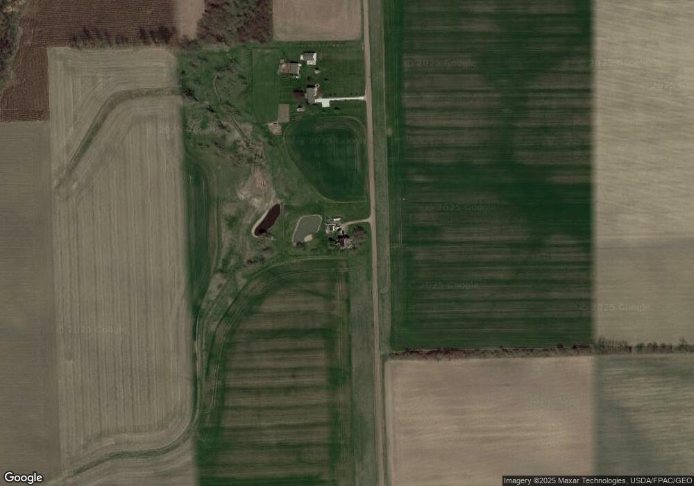
Map
Nearby Homes
- 1063 Elm St
- 10104 Sand Creek Hwy
- 4084 Seneca St
- 4113 Seneca St
- 11057 Arnold Hwy
- 2261 W Yankee Rd
- 3099 W Yankee Rd
- 3380 W Yankee Rd
- 9088 Elliott Hwy
- 5611 S Adrian Hwy
- 5101 Sand Creek Hwy
- 510 N Adrian St
- 508 N Adrian St
- 4633 Treat Hwy
- 2816 Sharp Rd
- 1240 W Carleton Rd
- 313 W Morenci St
- 313 S Adrian St
- 13614 Hodges Hwy
- 3822 Sharp Rd
- 9266 Morse Hwy
- 2000 Packard Rd
- 2000 Packard Rd Unit BLK
- 1900 Packard Rd
- 2290 Packard Rd
- 2381 Packard Rd
- 2390 Packard Rd
- 1668 Packard Rd
- 2018 W Weston Rd
- 2040 W Weston Rd
- 1600 Packard Rd
- 1975 W Weston Rd
- 2515 Packard Rd
- 1552 Packard Rd
- 2601 Packard Rd
- 2701 Packard Rd
- 1382 W Weston Rd
- 1376 Packard Rd
- 1363 W Weston Rd
- 1334 Packard Rd