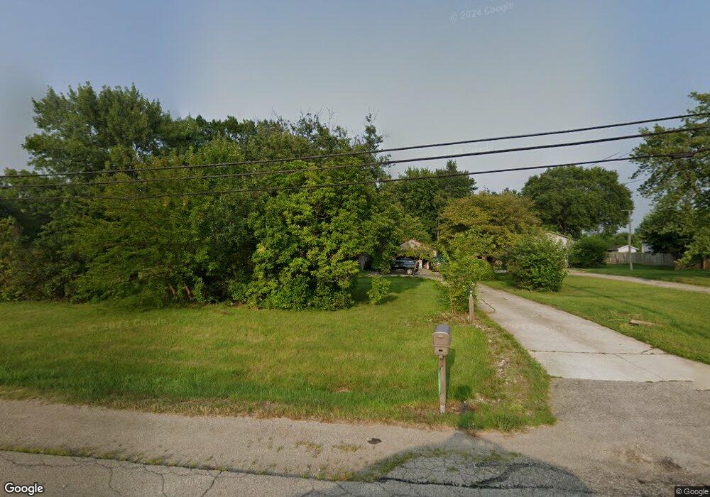
9427 Bluffton Rd Fort Wayne, IN 46809
Southwest Fort Wayne NeighborhoodEstimated Value: $280,000 - $309,000
3
Beds
2
Baths
2,410
Sq Ft
$122/Sq Ft
Est. Value
About This Home
This home is located at 9427 Bluffton Rd, Fort Wayne, IN 46809 and is currently estimated at $292,999, approximately $121 per square foot. 9427 Bluffton Rd is a home located in Allen County with nearby schools including Waynedale Elementary School, Miami Middle School, and Wayne High School.
Ownership History
Date
Name
Owned For
Owner Type
Purchase Details
Closed on
Feb 20, 2007
Sold by
Burgo William H and Burgo Pamela J
Bought by
Organ Donald W and Organ Chanie C
Current Estimated Value
Home Financials for this Owner
Home Financials are based on the most recent Mortgage that was taken out on this home.
Original Mortgage
$149,651
Outstanding Balance
$89,530
Interest Rate
6.23%
Mortgage Type
FHA
Estimated Equity
$203,469
Create a Home Valuation Report for This Property
The Home Valuation Report is an in-depth analysis detailing your home's value as well as a comparison with similar homes in the area
Home Values in the Area
Average Home Value in this Area
Purchase History
| Date | Buyer | Sale Price | Title Company |
|---|---|---|---|
| Organ Donald W | -- | Metropolitan Title Of In |
Source: Public Records
Mortgage History
| Date | Status | Borrower | Loan Amount |
|---|---|---|---|
| Open | Organ Donald W | $149,651 |
Source: Public Records
Tax History Compared to Growth
Tax History
| Year | Tax Paid | Tax Assessment Tax Assessment Total Assessment is a certain percentage of the fair market value that is determined by local assessors to be the total taxable value of land and additions on the property. | Land | Improvement |
|---|---|---|---|---|
| 2024 | $4,564 | $269,100 | $34,600 | $234,500 |
| 2022 | $3,612 | $229,700 | $32,000 | $197,700 |
| 2021 | $3,344 | $199,000 | $32,000 | $167,000 |
| 2020 | $3,206 | $184,100 | $32,000 | $152,100 |
| 2019 | $2,872 | $162,800 | $32,000 | $130,800 |
| 2018 | $2,841 | $159,800 | $32,000 | $127,800 |
| 2017 | $2,933 | $158,100 | $32,000 | $126,100 |
| 2016 | $2,858 | $151,300 | $32,000 | $119,300 |
| 2014 | $2,848 | $149,600 | $32,000 | $117,600 |
| 2013 | $2,811 | $147,300 | $32,000 | $115,300 |
Source: Public Records
Map
Nearby Homes
- 97?? Bluffton Rd
- Lot 1 Majic Port Ln
- Lot 4 Majic Port Ln
- Lot 2 Majic Port Ln
- Lot 5 Majic Port Ln
- Lot 3 Majic Port Ln
- 0 Majic Port Ln
- 9020 Ashton Pointe Blvd
- 2215 Saint Louis Ave
- 2706 Saint Louis Ave
- 1711 Saint Louis Ave
- 1922 Legoma Dr
- 9126 Redfield Dr
- 2701 Westward Dr
- 3302 Mcarthur Dr
- 3015 Mcarthur Dr
- 7619 Worth Dr
- 7407 Baer Rd
- 7302 Bradbury Ave
- 7205 Beaty Ave
- 9631 Bluffton Rd
- 9512 Bluffton Rd
- 9641 Bluffton Rd
- 9333 Bluffton Rd
- 9420 Bluffton Rd
- 9321 Bluffton Rd
- 9831 Bluffton Rd
- 9127 Bluffton Rd
- 9115 Bluffton Rd
- 9428 Bluffton Rd
- 10011 Bluffton Rd
- 2225 Villa Dr
- 2211 Villa Dr
- 9023 Bluffton Rd
- 9426 Bluffton Rd
- 2228 Villa Dr
- 2050 Villa Dr
- 2136 Villa Dr
- 9007 Bluffton Rd
- 2029 Villa Dr