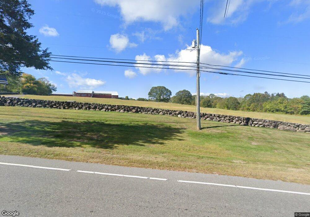
943 Colonel Ledyard Hwy Ledyard, CT 06339
Estimated Value: $319,000 - $637,220
3
Beds
3
Baths
1,680
Sq Ft
$311/Sq Ft
Est. Value
About This Home
This home is located at 943 Colonel Ledyard Hwy, Ledyard, CT 06339 and is currently estimated at $522,305, approximately $310 per square foot. 943 Colonel Ledyard Hwy is a home with nearby schools including Ledyard Middle School and Ledyard High School.
Ownership History
Date
Name
Owned For
Owner Type
Purchase Details
Closed on
May 29, 2025
Sold by
Geer William E
Bought by
Cag Land Holdings Llc
Current Estimated Value
Purchase Details
Closed on
Dec 9, 2019
Sold by
Geer Diane
Bought by
Geer William E
Purchase Details
Closed on
Jun 25, 1999
Sold by
Mashantucket Pequot
Bought by
Geer William and Geer Diane
Create a Home Valuation Report for This Property
The Home Valuation Report is an in-depth analysis detailing your home's value as well as a comparison with similar homes in the area
Home Values in the Area
Average Home Value in this Area
Purchase History
| Date | Buyer | Sale Price | Title Company |
|---|---|---|---|
| Cag Land Holdings Llc | -- | -- | |
| Cag Land Holdings Llc | -- | -- | |
| Geer William E | -- | None Available | |
| Geer William E | -- | None Available | |
| Geer William | $217,500 | -- | |
| Geer William | $217,500 | -- |
Source: Public Records
Mortgage History
| Date | Status | Borrower | Loan Amount |
|---|---|---|---|
| Previous Owner | Geer William | $186,654 | |
| Previous Owner | Geer William | $163,000 |
Source: Public Records
Tax History Compared to Growth
Tax History
| Year | Tax Paid | Tax Assessment Tax Assessment Total Assessment is a certain percentage of the fair market value that is determined by local assessors to be the total taxable value of land and additions on the property. | Land | Improvement |
|---|---|---|---|---|
| 2025 | $12,133 | $326,690 | $96,810 | $229,880 |
| 2024 | $11,481 | $326,060 | $96,810 | $229,250 |
| 2023 | $11,269 | $326,060 | $96,810 | $229,250 |
| 2022 | $11,027 | $326,060 | $96,810 | $229,250 |
| 2021 | $10,956 | $326,060 | $96,810 | $229,250 |
| 2020 | $10,203 | $291,760 | $93,590 | $198,170 |
| 2019 | $9,844 | $280,770 | $82,600 | $198,170 |
| 2018 | $9,628 | $280,770 | $82,600 | $198,170 |
| 2017 | $9,136 | $280,770 | $82,600 | $198,170 |
| 2016 | $3,754 | $117,670 | $32,760 | $84,910 |
| 2015 | $3,577 | $117,670 | $32,760 | $84,910 |
| 2014 | $3,061 | $102,360 | $17,450 | $84,910 |
Source: Public Records
Map
Nearby Homes
- 947 Colonel Ledyard Hwy
- 961 Colonel Ledyard Hwy
- 944 Colonel Ledyard Hwy
- 954 Colonel Ledyard Hwy
- 963 Colonel Ledyard Hwy
- 942 Colonel Ledyard Hwy
- 933 Colonel Ledyard Hwy
- 962 Colonel Ledyard Hwy
- 969 Colonel Ledyard Hwy
- 965 Colonel Ledyard Hwy
- 936 Colonel Ledyard Hwy
- 923 Colonel Ledyard Hwy
- 938 Colonel Ledyard Hwy
- 13 Bolduc Dr
- 925 Colonel Ledyard Hwy
- 934 Colonel Ledyard Hwy
- 987 Colonel Ledyard Hwy
- 921 Colonel Ledyard Hwy
- 919 Colonel Ledyard Hwy
- 11 Bolduc Dr