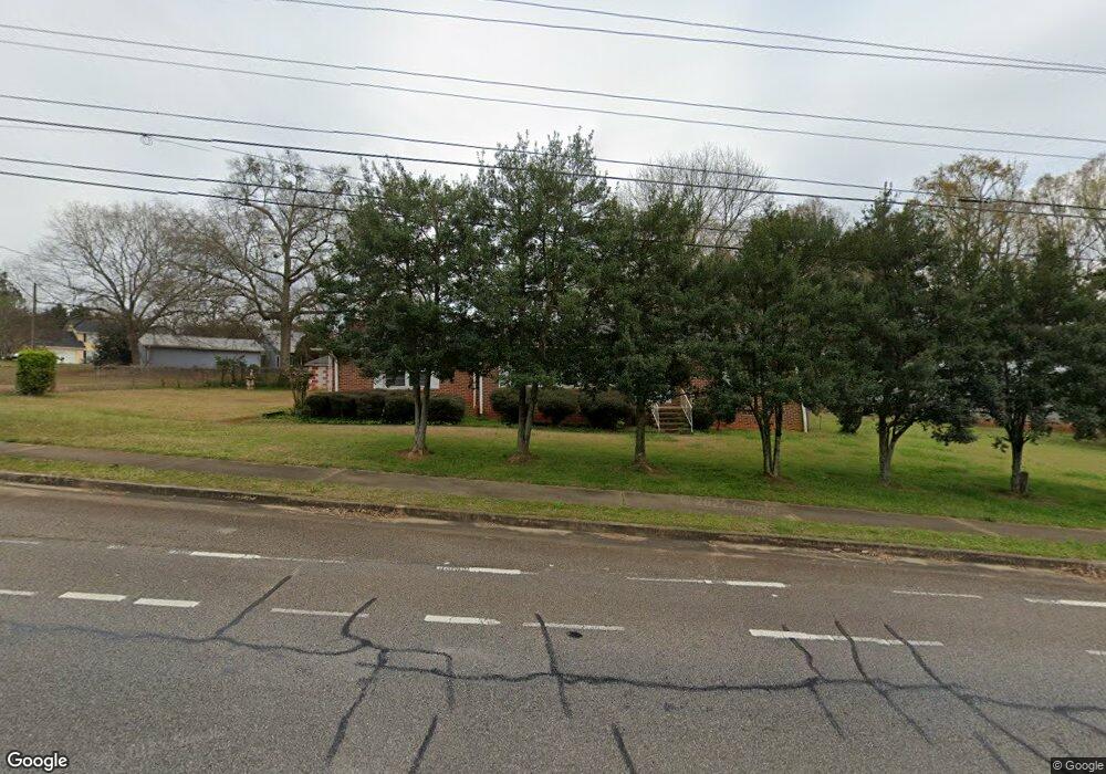
943 Epps Bridge Pkwy Athens, GA 30606
Skyline NeighborhoodEstimated Value: $292,000 - $386,000
--
Bed
1
Bath
1,653
Sq Ft
$201/Sq Ft
Est. Value
About This Home
This home is located at 943 Epps Bridge Pkwy, Athens, GA 30606 and is currently estimated at $332,499, approximately $201 per square foot. 943 Epps Bridge Pkwy is a home located in Clarke County with nearby schools including Timothy Elementary School, Clarke Middle School, and Clarke Central High School.
Ownership History
Date
Name
Owned For
Owner Type
Purchase Details
Closed on
Sep 26, 2005
Sold by
Daniel Robert Lee
Bought by
Daniel Robert Lee
Current Estimated Value
Create a Home Valuation Report for This Property
The Home Valuation Report is an in-depth analysis detailing your home's value as well as a comparison with similar homes in the area
Home Values in the Area
Average Home Value in this Area
Purchase History
| Date | Buyer | Sale Price | Title Company |
|---|---|---|---|
| Daniel Robert Lee | -- | -- |
Source: Public Records
Tax History Compared to Growth
Tax History
| Year | Tax Paid | Tax Assessment Tax Assessment Total Assessment is a certain percentage of the fair market value that is determined by local assessors to be the total taxable value of land and additions on the property. | Land | Improvement |
|---|---|---|---|---|
| 2025 | $2,012 | $95,510 | $14,300 | $81,210 |
| 2024 | $2,012 | $90,707 | $14,300 | $76,407 |
| 2023 | $1,225 | $84,448 | $14,300 | $70,148 |
| 2022 | $2,048 | $74,190 | $14,300 | $59,890 |
| 2021 | $1,707 | $60,662 | $14,300 | $46,362 |
| 2020 | $1,608 | $57,702 | $14,300 | $43,402 |
| 2019 | $1,591 | $56,872 | $14,300 | $42,572 |
| 2018 | $1,409 | $51,511 | $14,300 | $37,211 |
| 2017 | $1,318 | $48,812 | $14,300 | $34,512 |
| 2016 | $1,302 | $48,362 | $14,300 | $34,062 |
| 2015 | $1,305 | $48,362 | $14,300 | $34,062 |
| 2014 | $999 | $48,362 | $14,300 | $34,062 |
Source: Public Records
Map
Nearby Homes
- 1340 Old Epps Bridge Rd
- 165 Canterbury Dr
- 190 Kirkwood Dr
- 137 Timothy Park Ln
- 1771 Timothy Rd
- 780 Kings Rd
- 136 Timothy Park Ln
- 215 Lenox Rd
- 140 Cypress Manor Ln
- 160 Edgewood Dr
- 461 Oglethorpe Ave
- 1845 Olympus Ct
- 1847 Olympus Ct
- 1842 Olympus Ct
- 114 Telfair Place
- 101 Wood Lake Dr Unit 307
- 210 Orchard Creek Dr
- 125 Wood Lake Dr Unit 210
- 124 McNutts Creek Dr
- 114 McNutts Creek Dr
- 190 McNutts Creek Place
- 144 McNutts Creek Place
- 197 McNutts Creek Place
- 139 McNutts Creek Dr
- 129 McNutts Creek Dr
- 149 McNutts Creek Dr
- 119 McNutts Creek Dr
- 187 McNutts Creek Place
- 177 McNutts Creek Place
- 159 McNutts Creek Dr
- 167 McNutts Creek Place
- 150 Ridgeview Dr
- 130 Ridgeview Dr
- 106 McNutts Creek Ct
- 160 Ridgeview Dr
- 120 Ridgeview Dr
- 170 Ridgeview Dr
- 110 Ridgeview Dr