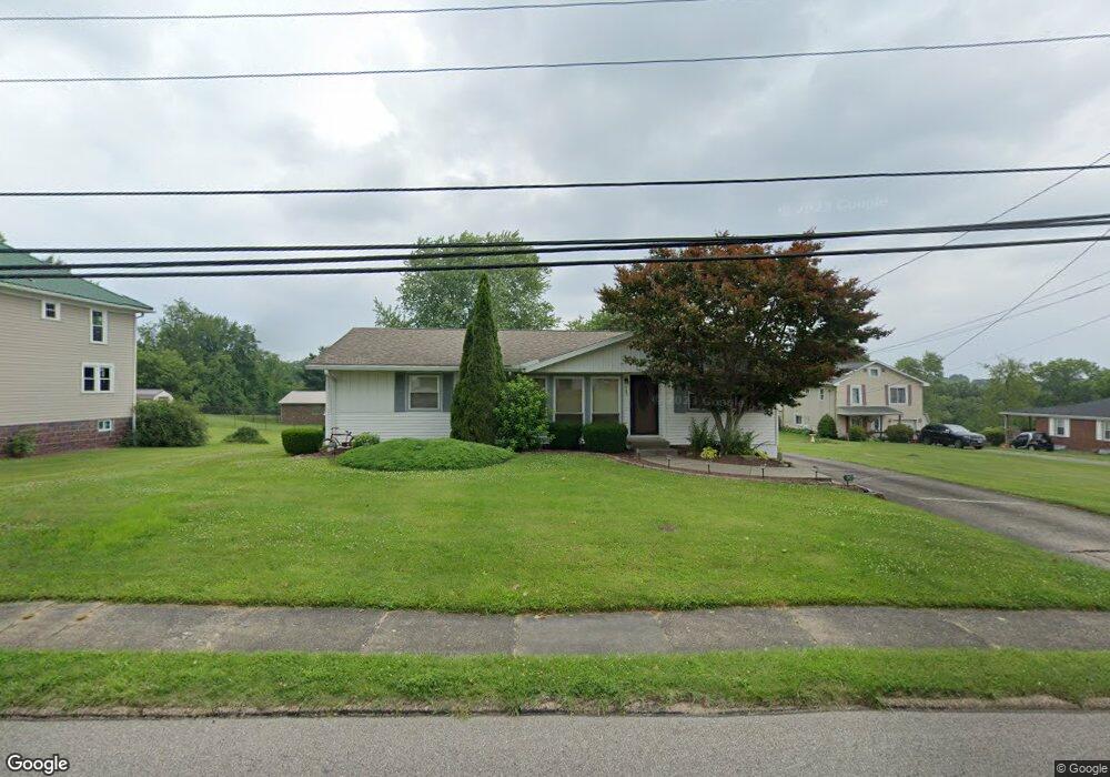
943 Lancaster St Marietta, OH 45750
Estimated Value: $194,713 - $233,000
2
Beds
1
Bath
1,320
Sq Ft
$160/Sq Ft
Est. Value
About This Home
This home is located at 943 Lancaster St, Marietta, OH 45750 and is currently estimated at $210,678, approximately $159 per square foot. 943 Lancaster St is a home located in Washington County with nearby schools including Marietta High School, Veritas Classical Academy, and St. Mary Catholic School.
Ownership History
Date
Name
Owned For
Owner Type
Purchase Details
Closed on
May 28, 2008
Sold by
Dennis Robert L and Dennis Robin Lynn
Bought by
Dennis Robert L and Dennis Robin Lynn
Current Estimated Value
Purchase Details
Closed on
Nov 5, 2002
Bought by
Dennis Robert L
Purchase Details
Closed on
Sep 13, 1994
Bought by
Terry Eugene
Purchase Details
Closed on
Feb 4, 1992
Bought by
Terry
Purchase Details
Closed on
Mar 6, 1989
Create a Home Valuation Report for This Property
The Home Valuation Report is an in-depth analysis detailing your home's value as well as a comparison with similar homes in the area
Home Values in the Area
Average Home Value in this Area
Purchase History
| Date | Buyer | Sale Price | Title Company |
|---|---|---|---|
| Dennis Robert L | -- | Attorney | |
| Dennis Robert L | $73,000 | -- | |
| Terry Eugene | -- | -- | |
| Terry | $56,000 | -- | |
| -- | $51,800 | -- |
Source: Public Records
Tax History Compared to Growth
Tax History
| Year | Tax Paid | Tax Assessment Tax Assessment Total Assessment is a certain percentage of the fair market value that is determined by local assessors to be the total taxable value of land and additions on the property. | Land | Improvement |
|---|---|---|---|---|
| 2024 | $1,773 | $53,730 | $18,270 | $35,460 |
| 2023 | $1,773 | $53,730 | $18,270 | $35,460 |
| 2022 | $1,760 | $53,730 | $18,270 | $35,460 |
| 2021 | $1,444 | $41,770 | $18,400 | $23,370 |
| 2020 | $1,446 | $41,770 | $18,400 | $23,370 |
| 2019 | $1,449 | $41,770 | $18,400 | $23,370 |
| 2018 | $1,344 | $37,650 | $15,330 | $22,320 |
| 2017 | $1,341 | $37,650 | $15,330 | $22,320 |
| 2016 | $2,416 | $37,650 | $15,330 | $22,320 |
| 2015 | $1,344 | $36,080 | $15,770 | $20,310 |
| 2014 | $2,319 | $36,080 | $15,770 | $20,310 |
| 2013 | $669 | $36,080 | $15,770 | $20,310 |
Source: Public Records
Map
Nearby Homes
- 117 Clark St
- 211 Beaver St
- 101 Laramie Rd
- 977 Gilman Ave
- 204 Coventry Rd
- 101 High St
- 101 W Montgomery St
- 101 Victory Place
- 721 Front St
- 146 Riverview Dr
- 625 Front St
- 645 Pearl Street Extension
- 203 Marion St
- 213 E Montgomery St
- 202 Sacra Via St
- 701 3rd St
- 722 1/2 3rd St
- 608 2nd St
- 619 3rd St
- 417 Maple St
- 941 Lancaster St
- 945 Lancaster St
- 107 Doris Ave
- 939 Lancaster St
- 949 Lancaster St
- 937 Lancaster St
- 942 Lancaster St
- 940 Lancaster St
- 935 Lancaster St
- 944 1/2 Lancaster St
- 944 Lancaster St
- 948 Lancaster St
- 938 Lancaster St
- 951 Lancaster St
- 104 Doris Ave
- 189 Pershing Rd
- 201 Pershing Rd
- 950 Lancaster St
- 933 Lancaster St
- 0 Lindsey Avenue Ave