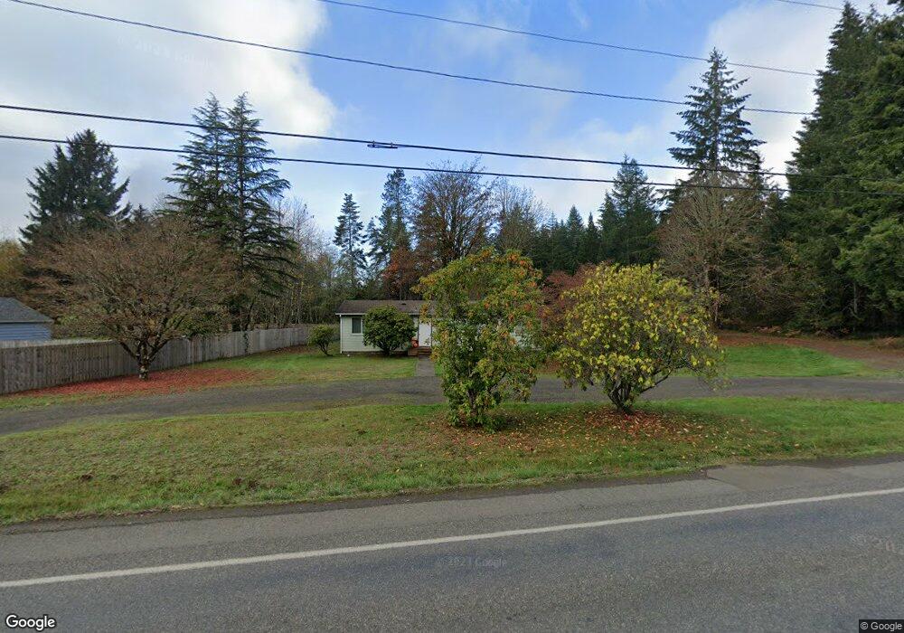
943 N Summit Rd McCleary, WA 98557
Estimated Value: $319,000 - $466,000
3
Beds
1
Bath
1,152
Sq Ft
$361/Sq Ft
Est. Value
About This Home
This home is located at 943 N Summit Rd, McCleary, WA 98557 and is currently estimated at $415,843, approximately $360 per square foot. 943 N Summit Rd is a home located in Grays Harbor County with nearby schools including McCleary Elementary School.
Ownership History
Date
Name
Owned For
Owner Type
Purchase Details
Closed on
Oct 11, 2024
Sold by
State Of Washington
Bought by
Lott John and Lott Patty
Current Estimated Value
Purchase Details
Closed on
Mar 14, 2011
Sold by
Lott John and Lott Patty
Bought by
Birindelli Larry and Birindelli Stacy
Purchase Details
Closed on
May 4, 2010
Sold by
Us Bank National Association
Bought by
Lott John and Lott Patricia
Purchase Details
Closed on
Jun 7, 2009
Sold by
Southgate Michael D
Bought by
Us Bank National Association
Purchase Details
Closed on
Feb 8, 2005
Sold by
Southgate Michael D and Estate Of Edward D Southgate
Bought by
Southgate Michael D
Purchase Details
Closed on
Oct 28, 2004
Sold by
Southgate Marlou
Bought by
Southgate Michael D
Home Financials for this Owner
Home Financials are based on the most recent Mortgage that was taken out on this home.
Original Mortgage
$73,500
Interest Rate
7.05%
Mortgage Type
Adjustable Rate Mortgage/ARM
Create a Home Valuation Report for This Property
The Home Valuation Report is an in-depth analysis detailing your home's value as well as a comparison with similar homes in the area
Home Values in the Area
Average Home Value in this Area
Purchase History
| Date | Buyer | Sale Price | Title Company |
|---|---|---|---|
| Lott John | $110,000 | None Listed On Document | |
| Birindelli Larry | $60,000 | None Available | |
| Lott John | $79,900 | Coast Title | |
| Us Bank National Association | $33,195 | Grays Harbor Title | |
| Southgate Michael D | -- | Coast Title | |
| Southgate Michael D | $35,000 | Coast Title |
Source: Public Records
Mortgage History
| Date | Status | Borrower | Loan Amount |
|---|---|---|---|
| Previous Owner | Southgate Michael D | $73,500 |
Source: Public Records
Tax History Compared to Growth
Tax History
| Year | Tax Paid | Tax Assessment Tax Assessment Total Assessment is a certain percentage of the fair market value that is determined by local assessors to be the total taxable value of land and additions on the property. | Land | Improvement |
|---|---|---|---|---|
| 2025 | $3,049 | $343,898 | $154,994 | $188,904 |
| 2023 | $2,694 | $317,038 | $112,716 | $204,322 |
| 2022 | $2,685 | $241,473 | $77,735 | $163,738 |
| 2021 | $2,246 | $241,473 | $77,735 | $163,738 |
| 2020 | $2,111 | $184,111 | $51,000 | $133,111 |
| 2019 | $1,687 | $166,749 | $51,000 | $115,749 |
| 2018 | $1,737 | $138,958 | $42,500 | $96,458 |
| 2017 | $1,600 | $113,950 | $42,500 | $71,450 |
| 2016 | $1,362 | $108,950 | $37,500 | $71,450 |
| 2014 | -- | $93,700 | $37,500 | $56,200 |
| 2013 | -- | $105,550 | $50,000 | $55,550 |
Source: Public Records
Map
Nearby Homes
- 135 Wildcat Dr
- 162 Summit Place Dr
- 415 E Mommsen St
- 124 S 6th St
- 441 Elma Hicklin Rd W
- 443 Elma Hicklin Rd W
- 237 S 7th St
- 429 Fir St
- 341 S 2nd St
- 412 S 2nd St
- 215 W Pine St
- 405 S 1st St
- 201 W Pine St
- 220 226 E Oak St
- 517 S 3rd St
- 214 Cottonwood Ct
- 18 Overlake Ln
- 55 Church Rd
- 34 Marissa Ln
- 778 Elma McCleary Rd Unit 13
- 917 N Summit Rd
- 944 N Summit Rd
- 310 Wildcat Dr
- 885 N Summit Rd
- 340 Wildcat Dr
- 900 N Summit Rd
- 863 N Summit Rd
- 300 Wildcat Dr
- 890 N Summit Rd
- 1037 N Summit Rd
- 330 Wildcat Dr
- 100 Wildcat Dr
- 847 N Summit Rd
- 290 Wildcat Dr
- 850 N Summit Rd
- 1038 N Summit Rd
- 839 N Summit Rd
- 280 Wildcat Dr
- 110 Wildcat Dr
- 848 N Summit Rd