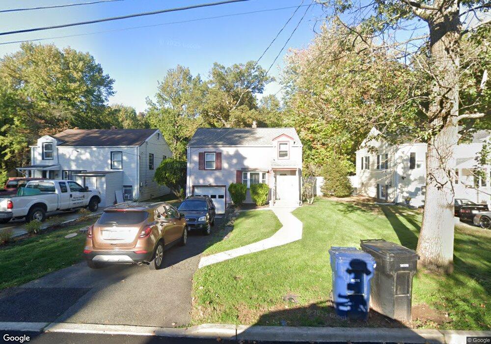
943 Sterling St Unit 45 Plainfield, NJ 07062
Estimated Value: $471,862 - $537,000
Studio
--
Bath
1,083
Sq Ft
$461/Sq Ft
Est. Value
About This Home
This home is located at 943 Sterling St Unit 45, Plainfield, NJ 07062 and is currently estimated at $498,966, approximately $460 per square foot. 943 Sterling St Unit 45 is a home located in Union County with nearby schools including Frederic W. Cook School, Emerson Community School, and Maxson Middle School.
Ownership History
Date
Name
Owned For
Owner Type
Purchase Details
Closed on
Sep 29, 1993
Sold by
Sikorski Keith F
Bought by
Milter Ralph W and Milter Linda
Current Estimated Value
Home Financials for this Owner
Home Financials are based on the most recent Mortgage that was taken out on this home.
Original Mortgage
$108,000
Interest Rate
6.87%
Create a Home Valuation Report for This Property
The Home Valuation Report is an in-depth analysis detailing your home's value as well as a comparison with similar homes in the area
Home Values in the Area
Average Home Value in this Area
Purchase History
| Date | Buyer | Sale Price | Title Company |
|---|---|---|---|
| Milter Ralph W | $109,000 | -- |
Source: Public Records
Mortgage History
| Date | Status | Borrower | Loan Amount |
|---|---|---|---|
| Closed | Milter Ralph W | $108,000 |
Source: Public Records
Tax History
| Year | Tax Paid | Tax Assessment Tax Assessment Total Assessment is a certain percentage of the fair market value that is determined by local assessors to be the total taxable value of land and additions on the property. | Land | Improvement |
|---|---|---|---|---|
| 2025 | $8,758 | $100,300 | $45,000 | $55,300 |
| 2024 | $8,672 | $100,300 | $45,000 | $55,300 |
| 2023 | $8,672 | $100,300 | $45,000 | $55,300 |
| 2022 | $8,484 | $100,300 | $45,000 | $55,300 |
| 2021 | $8,410 | $100,300 | $45,000 | $55,300 |
| 2020 | $8,386 | $100,300 | $45,000 | $55,300 |
| 2019 | $8,386 | $100,300 | $45,000 | $55,300 |
| 2018 | $8,211 | $100,300 | $45,000 | $55,300 |
| 2017 | $8,010 | $100,300 | $45,000 | $55,300 |
| 2016 | $7,846 | $100,300 | $45,000 | $55,300 |
| 2015 | $7,615 | $100,300 | $45,000 | $55,300 |
| 2014 | $7,408 | $100,300 | $45,000 | $55,300 |
Source: Public Records
Map
Nearby Homes
- 904 Sterling St
- 938-42 Cushing Place
- 848 Adam Cir
- 1147 Inwood Place Unit 49
- 810 Leland Ave Unit 14
- 1231 Sunnyfield Ln
- 1224 Sunnyfield Ln
- 1242 Sunnyfield Ln
- 1248 Sunnyfield Ln
- 835 Dixie Ln Unit 37
- 15 La Grande Ave
- 714 Dixie Ln
- 771 Ravine Rd
- 767 Ravine Rd Unit 73
- 351 Terrill Rd
- 1365 Columbia Ave Unit 69
- 187 King St
- 191 King St
- 633 Woodland Ave Unit 37
- 1364 George St
- 947 Sterling St Unit 49
- 939 Sterling St Unit 41
- 1290 Cambridge Ave
- 1288 Cambridge Ave Unit 92
- 921 Post Dr Unit 23
- 929 Sterling St Unit 31
- 1289 Wald Dr Unit 93
- 1284 Cambridge Ave Unit 86
- 912 Knollwood Ct Unit 18
- 925 Sterling St Unit 27
- 928 Sterling St Unit 32
- 1280 Cambridge Ave Unit 82
- 1281 Wald Dr Unit 87
- 919 Sterling St Unit 23
- 925 Post Dr Unit 29
- 922 Sterling St Unit 26
- 920 Knollwood Ct Unit 28
- 1276 Cambridge Ave Unit 78
- 1283 Cambridge Ave Unit 85
- 915 Sterling St Unit 17