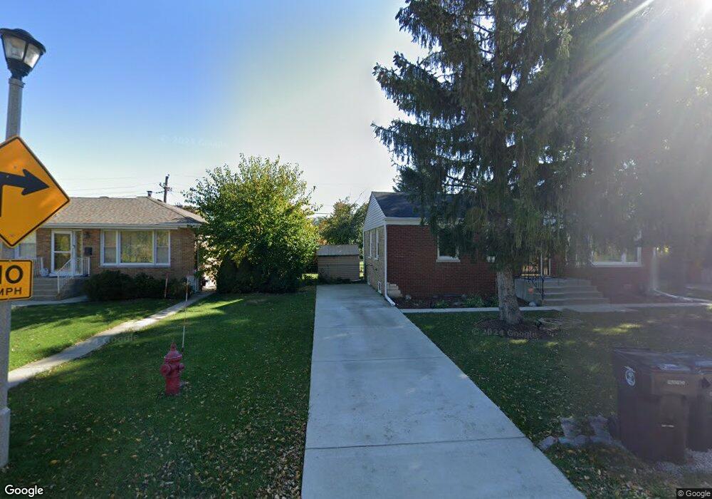
9432 Lorel Ave Skokie, IL 60077
Barcelona NeighborhoodEstimated Value: $410,000 - $437,000
3
Beds
2
Baths
1,135
Sq Ft
$372/Sq Ft
Est. Value
About This Home
This home is located at 9432 Lorel Ave, Skokie, IL 60077 and is currently estimated at $422,114, approximately $371 per square foot. 9432 Lorel Ave is a home located in Cook County with nearby schools including Old Orchard Jr High School, Jane Stenson School, and Niles North High School.
Ownership History
Date
Name
Owned For
Owner Type
Purchase Details
Closed on
Jul 15, 1997
Sold by
Napier Lucille J
Bought by
Jeffries William R and Jeffries Lisa M
Current Estimated Value
Home Financials for this Owner
Home Financials are based on the most recent Mortgage that was taken out on this home.
Original Mortgage
$143,355
Outstanding Balance
$20,926
Interest Rate
7.71%
Estimated Equity
$401,188
Create a Home Valuation Report for This Property
The Home Valuation Report is an in-depth analysis detailing your home's value as well as a comparison with similar homes in the area
Home Values in the Area
Average Home Value in this Area
Purchase History
| Date | Buyer | Sale Price | Title Company |
|---|---|---|---|
| Jeffries William R | $150,900 | -- |
Source: Public Records
Mortgage History
| Date | Status | Borrower | Loan Amount |
|---|---|---|---|
| Open | Jeffries William R | $143,355 |
Source: Public Records
Tax History Compared to Growth
Tax History
| Year | Tax Paid | Tax Assessment Tax Assessment Total Assessment is a certain percentage of the fair market value that is determined by local assessors to be the total taxable value of land and additions on the property. | Land | Improvement |
|---|---|---|---|---|
| 2024 | $6,417 | $29,000 | $7,151 | $21,849 |
| 2023 | $6,220 | $29,000 | $7,151 | $21,849 |
| 2022 | $6,220 | $29,000 | $7,151 | $21,849 |
| 2021 | $5,837 | $24,657 | $4,400 | $20,257 |
| 2020 | $6,187 | $25,933 | $4,400 | $21,533 |
| 2019 | $6,334 | $29,139 | $4,400 | $24,739 |
| 2018 | $5,762 | $24,822 | $3,988 | $20,834 |
| 2017 | $5,820 | $24,822 | $3,988 | $20,834 |
| 2016 | $5,792 | $24,822 | $3,988 | $20,834 |
| 2015 | $4,722 | $19,539 | $3,438 | $16,101 |
| 2014 | $4,626 | $19,539 | $3,438 | $16,101 |
| 2013 | $4,600 | $19,539 | $3,438 | $16,101 |
Source: Public Records
Map
Nearby Homes
- 9508 Leamington Ave
- 9655 Woods Dr Unit P350
- 9655 Woods Dr Unit 517
- 9655 Woods Dr Unit 1809
- 9655 Woods Dr Unit 1411
- 9715 Woods Dr Unit 903
- 9715 Woods Dr Unit 1104
- 9725 Woods Dr Unit 1913
- 9725 Woods Dr Unit 309
- 9725 Woods Dr Unit 802
- 9725 Woods Dr Unit 2015
- 9234 Central Ave
- 5644 Lyons St
- 9449 Lavergne Ave
- 9529 Bronx Ave Unit 102
- 5346 Suffield Terrace
- 4901 Golf Rd Unit 310
- 9320 Menard Ave
- 9314 Menard Ave
- 9244 Gross Point Rd Unit A103