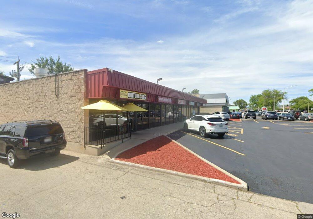
9432 Waukegan Rd Unit 38 Morton Grove, IL 60053
Estimated Value: $757,244
--
Bed
--
Bath
5,500
Sq Ft
$138/Sq Ft
Est. Value
About This Home
This home is located at 9432 Waukegan Rd Unit 38, Morton Grove, IL 60053 and is currently estimated at $757,244, approximately $137 per square foot. 9432 Waukegan Rd Unit 38 is a home located in Cook County with nearby schools including Hynes Elementary School, Golf Middle School, and Niles North High School.
Ownership History
Date
Name
Owned For
Owner Type
Purchase Details
Closed on
Sep 30, 2020
Sold by
Jung Jun
Bought by
9432 38 Waukegan Llc
Current Estimated Value
Home Financials for this Owner
Home Financials are based on the most recent Mortgage that was taken out on this home.
Original Mortgage
$1,000,000
Interest Rate
2.7%
Mortgage Type
Seller Take Back
Purchase Details
Closed on
Jun 8, 2009
Sold by
Chicago Title Land Trust Company
Bought by
Jung Jun and Jungu Jung Declaration Of Trust
Create a Home Valuation Report for This Property
The Home Valuation Report is an in-depth analysis detailing your home's value as well as a comparison with similar homes in the area
Home Values in the Area
Average Home Value in this Area
Purchase History
| Date | Buyer | Sale Price | Title Company |
|---|---|---|---|
| 9432 38 Waukegan Llc | $550,000 | Chicago Title | |
| Jung Jun | $600,000 | None Available |
Source: Public Records
Mortgage History
| Date | Status | Borrower | Loan Amount |
|---|---|---|---|
| Previous Owner | 9432 38 Waukegan Llc | $1,000,000 |
Source: Public Records
Tax History Compared to Growth
Tax History
| Year | Tax Paid | Tax Assessment Tax Assessment Total Assessment is a certain percentage of the fair market value that is determined by local assessors to be the total taxable value of land and additions on the property. | Land | Improvement |
|---|---|---|---|---|
| 2024 | $42,063 | $154,638 | $43,278 | $111,360 |
| 2023 | $40,188 | $154,638 | $43,278 | $111,360 |
| 2022 | $40,188 | $154,638 | $43,278 | $111,360 |
| 2021 | $49,612 | $167,537 | $43,277 | $124,260 |
| 2020 | $39,987 | $137,500 | $43,277 | $94,223 |
| 2019 | $57,305 | $219,353 | $43,277 | $176,076 |
| 2018 | $24,723 | $85,000 | $34,003 | $50,997 |
| 2017 | $24,815 | $85,000 | $34,003 | $50,997 |
| 2016 | $23,470 | $85,000 | $34,003 | $50,997 |
| 2015 | $23,440 | $77,426 | $32,458 | $44,968 |
| 2014 | $22,989 | $77,426 | $32,458 | $44,968 |
| 2013 | $27,191 | $93,177 | $32,458 | $60,719 |
Source: Public Records
Map
Nearby Homes
- 9421 Sayre Ave
- 7030 Foster St
- 6727 Beckwith Rd
- 6909 Beckwith Rd
- 9244 Newcastle Ave
- 7014 Church St
- 7215 Lyons St
- 7215 Beckwith Rd
- 7240 Palma Ln
- 9400 Octavia Ave
- 6712 Maple St
- 27 Logan Terrace
- 7302 Ponto Dr
- 6619 Palma Ln
- 7303 Ponto Dr
- 6610 Palma Ln
- 7324 Palma Ln
- 7300 Beckwith Rd
- 120 Washington St
- 7207 Church St
- 9432 Waukegan Rd
- 9434 Waukegan Rd
- 9441 Sayre Ave
- 9447 Sayre Ave
- 9433 Sayre Ave
- 9451 Sayre Ave
- 9436 Waukegan Rd
- 9500 Waukegan Rd
- 9503 Sayre Ave
- 9429 Sayre Ave
- 9507 Sayre Ave
- 9432 Sayre Ave
- 7001 Foster St
- 9510 Waukegan Rd
- 7006 Wilson Terrace
- 7006 Foster St
- 9417 Sayre Ave
- 9506 Sayre Ave
- 9519 Sayre Ave
- 9530 Waukegan Rd