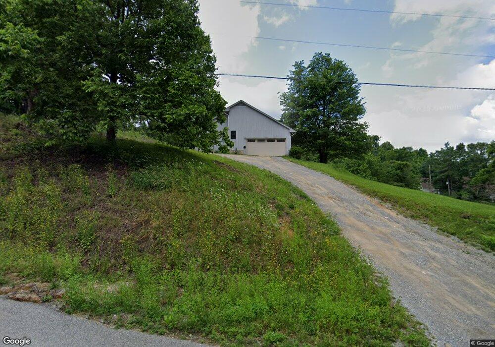
9433 Airpoint Dr Bent Mountain, VA 24059
Estimated Value: $244,000 - $283,000
3
Beds
2
Baths
1,134
Sq Ft
$231/Sq Ft
Est. Value
About This Home
This home is located at 9433 Airpoint Dr, Bent Mountain, VA 24059 and is currently estimated at $261,432, approximately $230 per square foot. 9433 Airpoint Dr is a home located in Roanoke County with nearby schools including Back Creek Elementary School, Cave Spring Middle School, and Cave Spring High School.
Ownership History
Date
Name
Owned For
Owner Type
Purchase Details
Closed on
Jun 27, 2025
Sold by
King Carson L and King Sylvia P
Bought by
Duron Bruno
Current Estimated Value
Home Financials for this Owner
Home Financials are based on the most recent Mortgage that was taken out on this home.
Original Mortgage
$17,500
Outstanding Balance
$10,580
Interest Rate
9.2%
Estimated Equity
$250,852
Purchase Details
Closed on
Dec 27, 2013
Sold by
King Carson L and King Sylvia P
Bought by
Mount Union Church Of The Brethren
Create a Home Valuation Report for This Property
The Home Valuation Report is an in-depth analysis detailing your home's value as well as a comparison with similar homes in the area
Purchase History
| Date | Buyer | Sale Price | Title Company |
|---|---|---|---|
| Duron Bruno | $238,000 | Pike Title | |
| Mount Union Church Of The Brethren | $25,578 | None Available |
Source: Public Records
Mortgage History
| Date | Status | Borrower | Loan Amount |
|---|---|---|---|
| Open | Duron Bruno | $17,500 | |
| Open | Duron Bruno | $220,500 |
Source: Public Records
Tax History
| Year | Tax Paid | Tax Assessment Tax Assessment Total Assessment is a certain percentage of the fair market value that is determined by local assessors to be the total taxable value of land and additions on the property. | Land | Improvement |
|---|---|---|---|---|
| 2025 | $2,330 | $226,200 | $46,300 | $179,900 |
| 2024 | $2,196 | $211,200 | $43,300 | $167,900 |
| 2023 | $2,077 | $195,900 | $42,300 | $153,600 |
| 2022 | $1,999 | $183,400 | $42,300 | $141,100 |
| 2021 | $1,936 | $177,600 | $42,300 | $135,300 |
| 2020 | $1,922 | $176,300 | $42,300 | $134,000 |
| 2019 | $1,890 | $173,400 | $42,300 | $131,100 |
| 2018 | $1,763 | $167,500 | $42,300 | $125,200 |
| 2017 | $1,763 | $161,700 | $42,300 | $119,400 |
| 2016 | $1,763 | $161,700 | $42,300 | $119,400 |
| 2015 | $1,763 | $161,700 | $42,300 | $119,400 |
| 2014 | $1,747 | $160,300 | $42,300 | $118,000 |
Source: Public Records
Map
Nearby Homes
- 0 Airpoint Rd
- 8828 Willett Ln
- 9009 Poor Mountain Rd
- Airpoint Dr Unit LotWP001
- 0 Bottom Creek Rd Unit 922959
- 0 Bottom Creek Rd Unit LotWP001 19687161
- 0 Bottom Creek Rd Unit 924827
- 8321 Poplar Springs Ln
- 8340 Poplar Springs Ln
- 7248 Carriage Hills Dr
- 7232 Carriage Hills Dr
- 261 Cobble Ln
- 7908 Forest Creek Dr
- 0 Ivy Ridge Rd
- 8109 Winterwood Trail
- 7524 Autumn Park Dr
- 10321 Old Shilling Rd
- 10388 Bent Mountain Rd
- 9727 Bent Mountain Rd
- 7236 Nandina Dr
- 9413 Airpoint Dr
- 9458 Airpoint Dr
- 9420 Bent Mountain Rd
- 9462 Airpoint Dr
- 9291 Bent Mountain Rd
- 9468 Airpoint Dr
- 9275 Bent Mountain Rd
- 9476 Airpoint Dr
- 9540 Orchard Dr
- 9480 Airpoint Dr
- 9534 Orchard Dr
- 9184 Lookout Ln
- 9168 Lookout Ln
- 9212 Bent Mountain Rd
- 9517 Tinsley Ln
- 9530 Airpoint Dr
- 9526 Tinsley Ln
- 9203 Bent Mountain Rd
- 9570 Airpoint Dr
- 9525 Tinsley Ln
Your Personal Tour Guide
Ask me questions while you tour the home.